 Today we have launched our new Lidar Digimap Collection. The new Collection is available to preview for all Digmap users until the 31st of July 2017. Lidar data can be downloaded through the Lidar Download for use in GIS and CAD applications; there is no Lidar Roam application for viewing the data.
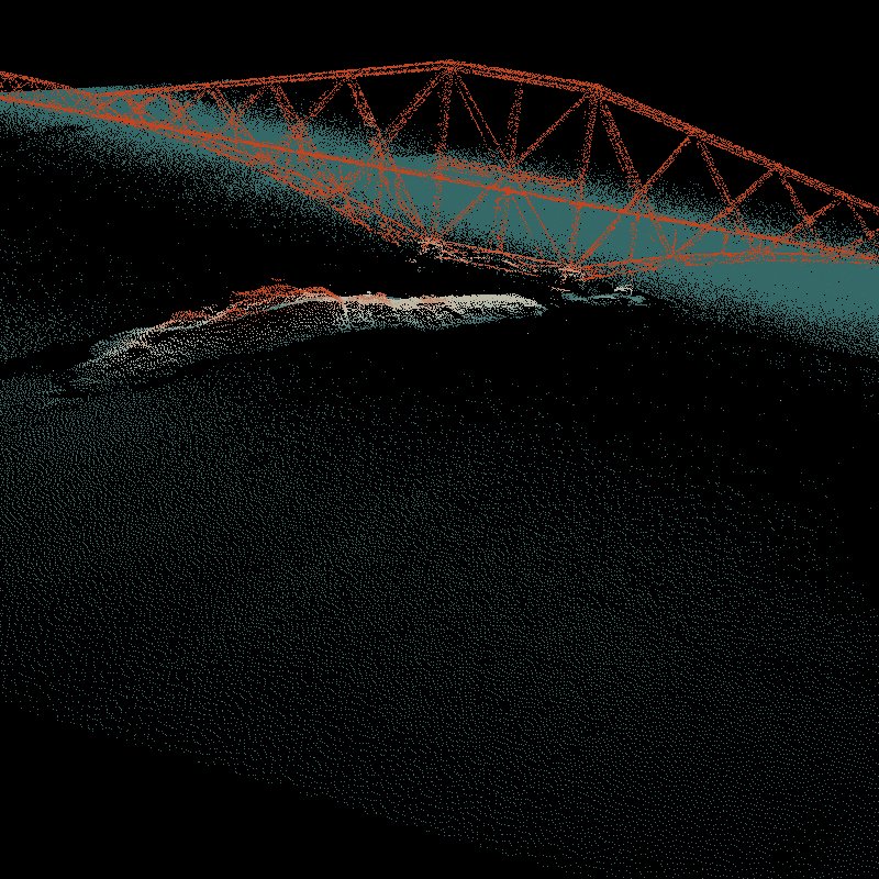
The service allows you to download current and past Lidar data from the Environment Agency (EA), Natural Resources Wales (NRW) and Scottish Environmental Protection Agency (SEPA).
There is already a large amount of data available in the service but we are still processing some of the datasets. Once it has all been processed the service aims to have complete coverage of all the data available from these agencies, including the raw LAS point cloud data and Orthophotography captured during the flights (where available).
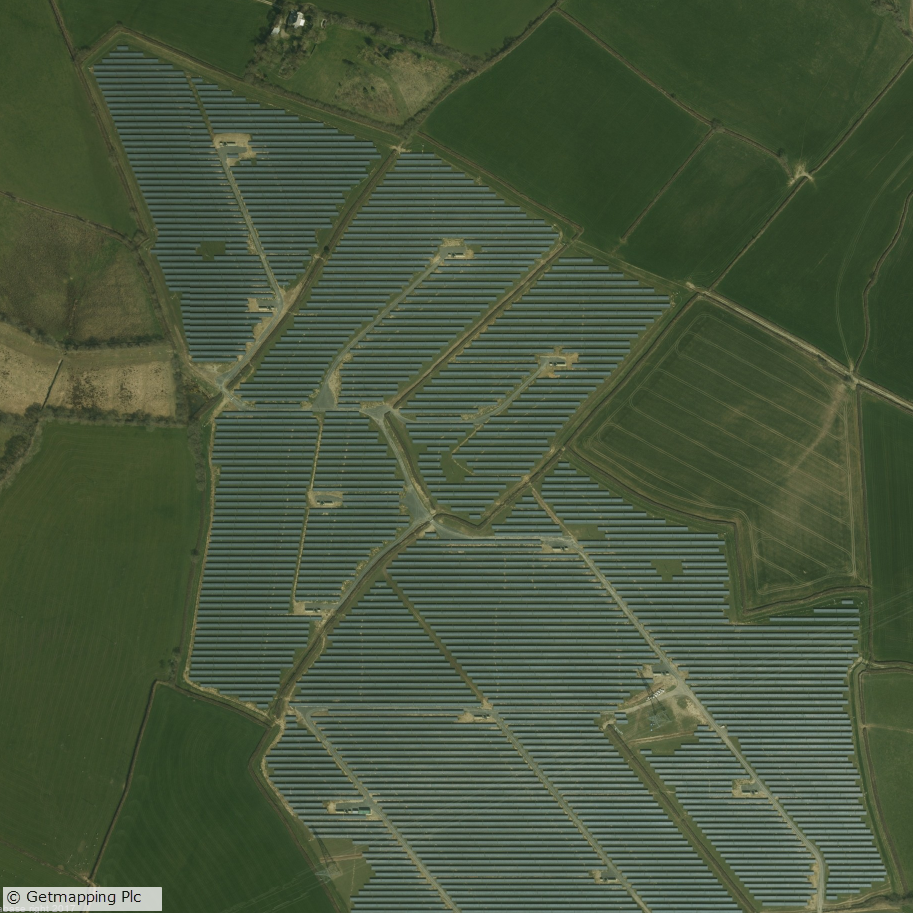
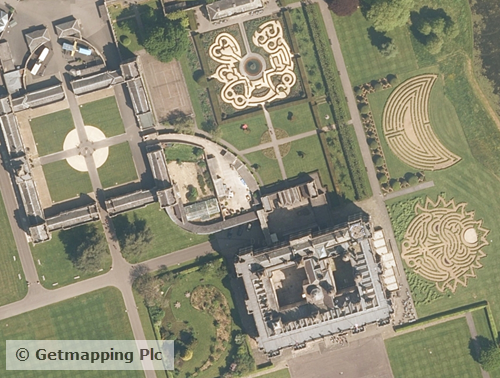
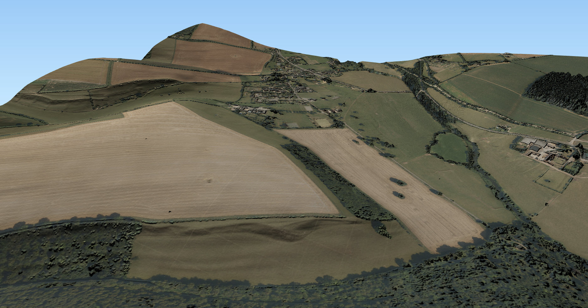
Lidar data is very useful when creating 3D terrains and models as can be seen from the images to the left and below. For creating 3D scenes such as the one below, it is very useful to use a Digital Surface Model (DSM) to create a surface and hillshading from which you can drape other data over, such as the imagery from Aerial Digimap in this example:
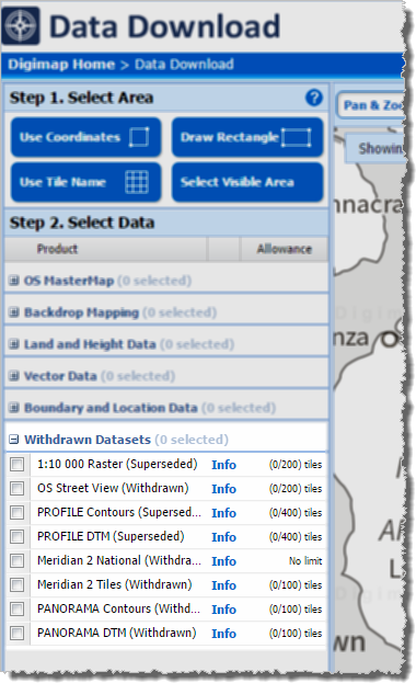
The following datasets are available through Lidar Digimap at present:
| Dataset | Availability and publication date |
| Digital Terrain Model and Digital Surface Model (DTM and DSM) | England
Scotland
Wales
|
| Point Cloud | Scotland
|
We are currently processing the following datasets and hope to have them available in the service shortly:
| Dataset | Availability and publication date |
| Digital Terrain Model and Digital Surface Model (DTM and DSM) | England
Scotland
|
| Point Cloud | England
|
| Orthophotographs | England
|
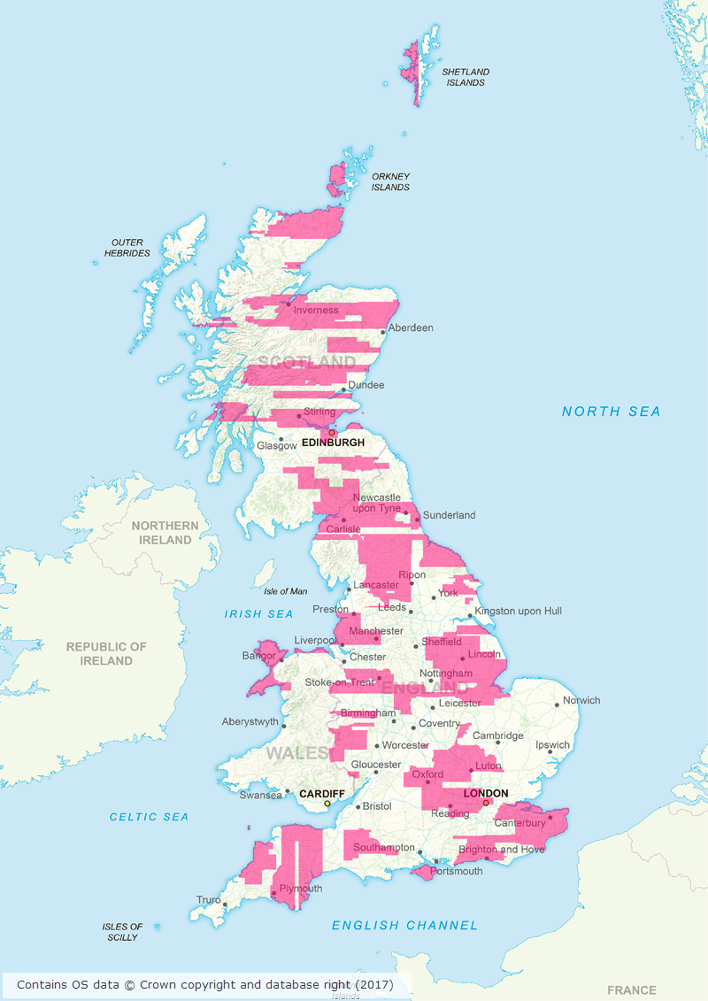
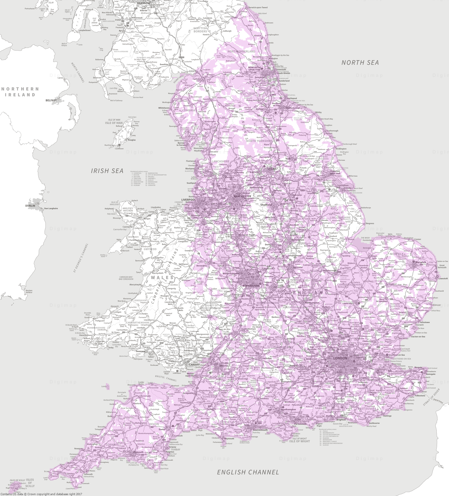
The data was collected for flood risk analysis and modelling and primarily follows water courses and coastal habitats. The data covers approximately 72% of England, 20% of Scotland and 70% of Wales. The image below shows the 1m resolution DTM coverage in England:

We hope you like using the new Collection, if you have any questions about the data please contact us:
- Email: edina@ed.ac.uk