
Aerial Digimap updates
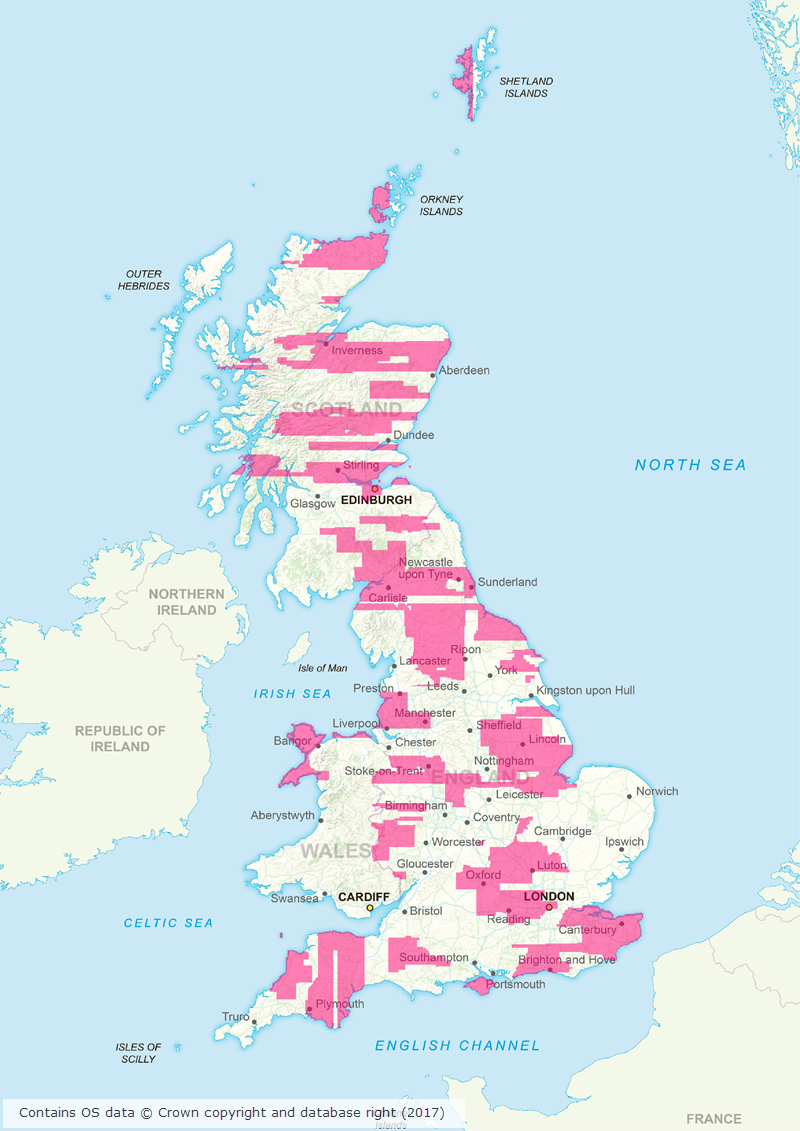
March/April 2017 has been a busy couple of months for the Data Team who have been working hard to process a huge area of updated aerial imagery data from the data supplier, Getmapping. The update consists of around 80,000 individual 1km tiles, all captured in 2015, which is approximately 30% of the country.
Prior to the update just over 50% of the data was from 2013 or later; after the update 77% of the data is from 2013 or later.
This means that more up to date imagery is now available for viewing and download through Aerial Digimap for a significant proportion of the country.
The map below shows the approximate distribution of the updated data.
This is the first update we have received from Getmapping, but we are expecting another update later this year containing imagery captured in 2016.
We will add this to the service as quickly as we can to ensure that the most up to date data is always available to Aerial Digimap users. In order to make it clear where the data has been updated, we will add an Availability/Reference Grid to Aerial Download so that users can easily identify if the imagery has been updated in their study area(s). This grid will be added to the system in the next couple of weeks.
We are still investigating the best way to make previous versions of the data available, but in the mean time only the most recent data is available through Aerial Roam and Aerial Download.
Webinar resources
We recently ran a webinar highlighting the data and showcasing a number of potential uses for the imagery. The webinar was recorded in full and is available on our YouTube channel. The slides used during the webinar and a transcript of all questions and answers are available on our help page.

Data information
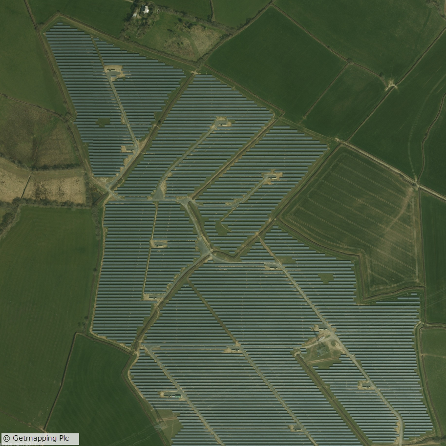
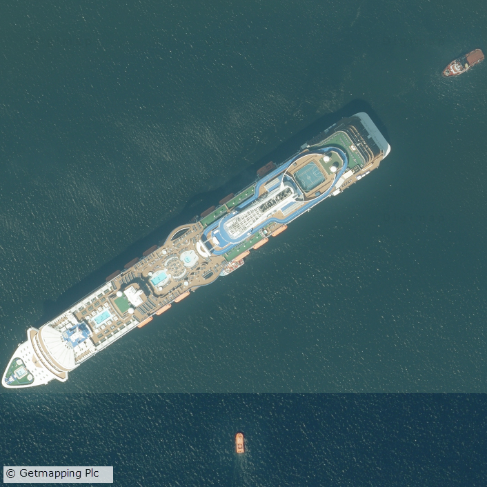
The aerial imagery data in the service is 25cm resolution vertical aerial orthophotography supplied by Getmapping PLC, and is the most detailed aerial imagery available for the whole of Great Britain. As well as being a really interesting dataset the imagery also has a number of practical uses across a wide range of disciplines from urban planning and 3D modelling to land use and archaeological studies.
Subscribing
To see if your institution already subscribes to Aerial Digimap, please see our subscribing institutions help page. Information on how to subscribe to the new service is available on the Aerial Digimap Subscription page.
If you have any questions about the service please consult the dedicated Aerial Digimap help pages or contact the Digimap support team using the details below.
Dataset updates in Ordnance Survey Digimap
OS Data Download:
| Product Name | OS Publication Date |
| Code-Point | February 2017 |
| 1:25,000 Colour Raster | March 2017 |
| 1:50,000 Colour Raster | March 2017 |
| Points of Interest | March 2017 |
OS Roam:
| Product Name | OS Publication Date |
| 1:25,000 Colour Raster | March 2017 |
The OS data update page is kept up to date with all dataset updates in the collections.
If you have any questions about the dataset updates or Digimap please contact us:
- Phone: 0131 650 3302
- Email: edina@ed.ac.uk