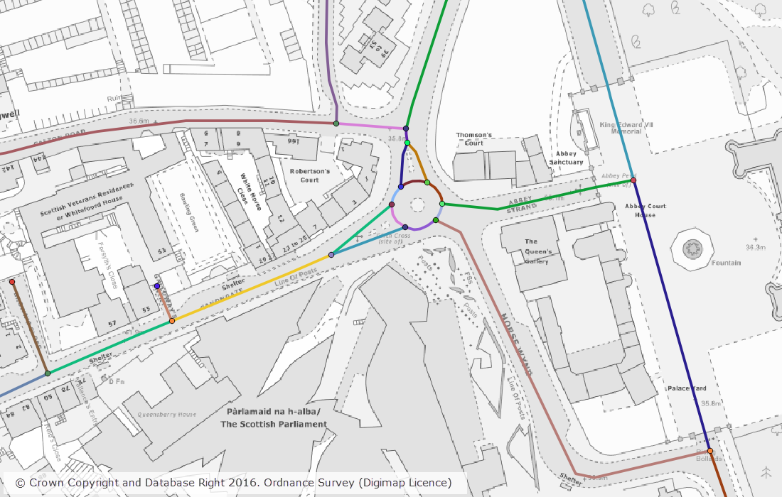
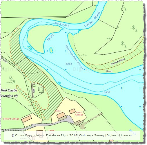
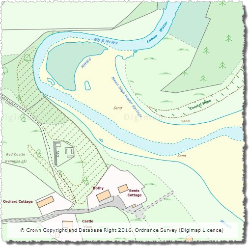
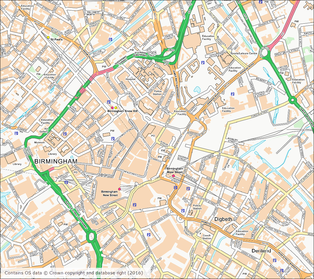
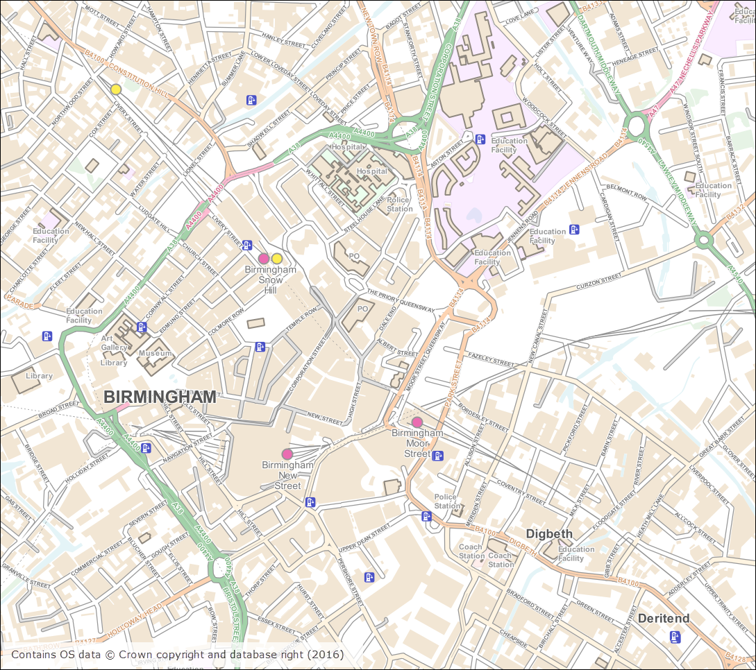
As well as releasing the new OS MasterMap Water Network Layer earlier this month, we have also updated a number of datasets available in the Ordnance Survey collection. Most notably this month we have updated OS Open Map – Local, the most detailed OpenData product available from Ordnance Survey. OS Open Map – Local was initially released as a beta product in March 2015. The October 2016 release of Open Map – Local marks the end of the beta period and provides the first main version of the dataset.
The first main release of Open Map – Local has a few changes over the prevous beta version, including:
- improved road information
- addition of Car Charging Points sourced from the National Charge Registry
- enhancements to the features included in the Important Buildings feature class
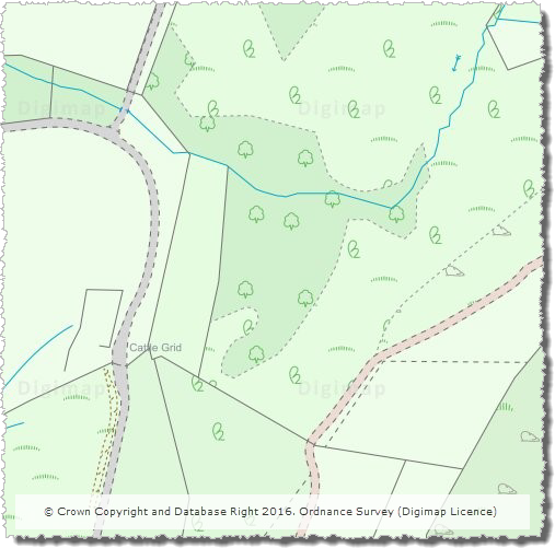
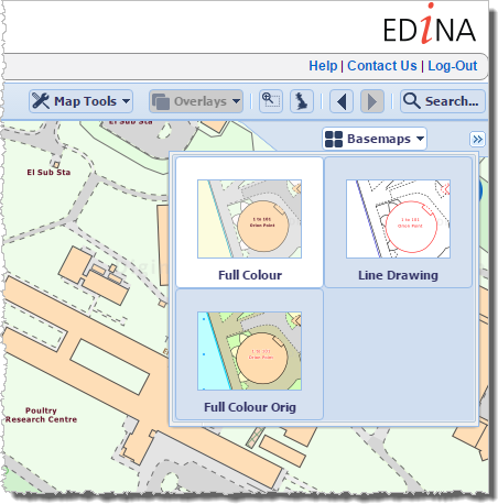
- creation of a raster version optimised for display at 1:10,000 scale, this will be the replacement for OS Street View which is no longer updated and will be withdrawn by OS in March 2017
The tables below list all the datasets that were updated this month.
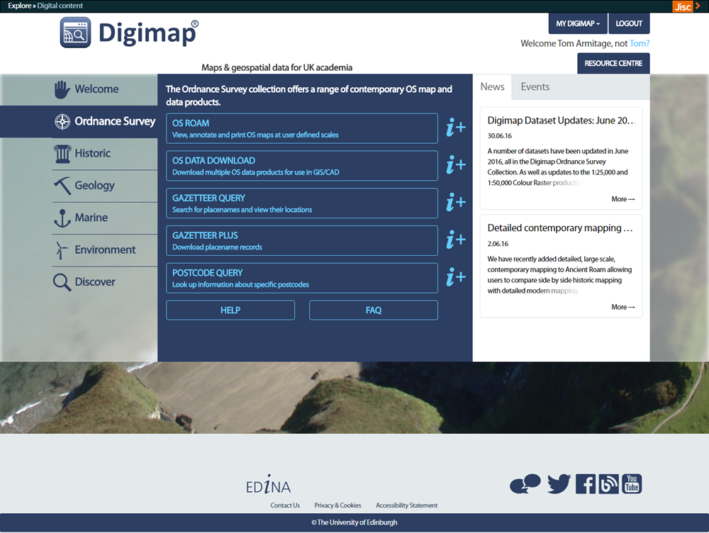
OS Data Download:
| Product Name | OS Publication Date |
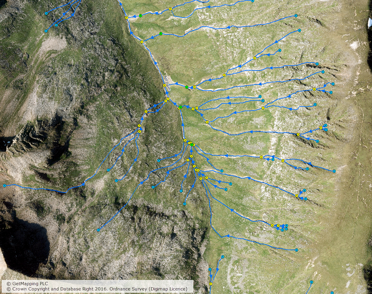
| OS MasterMap Water Network Layer | October 2016 |
| OS MasterMap Sites Layer | October 2016 |
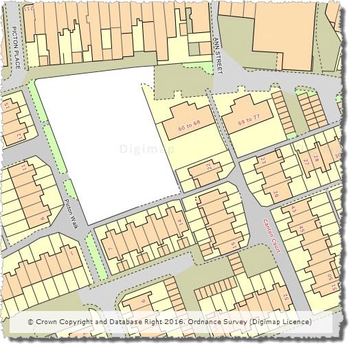
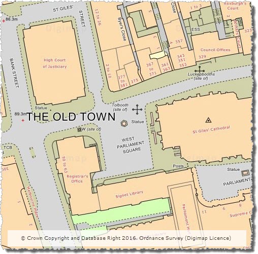
| OS VectorMap Local | October 2016 |
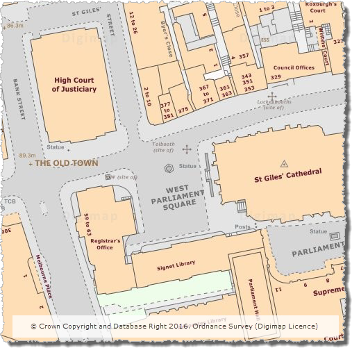
| OS VectorMap Local Raster | October 2016 |
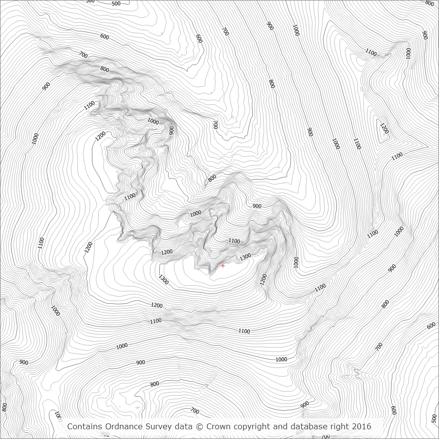
| OS Terrain 5 DTM | October 2016 |
| OS Terrain 5 Contours | October 2016 |
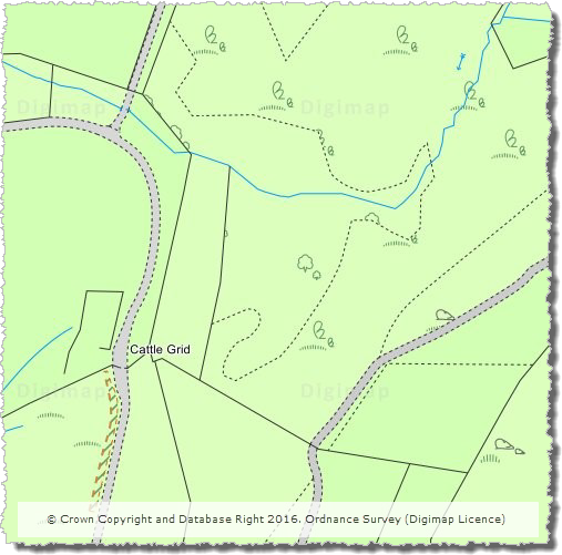
| OS Open Map – Local (Raster) | October 2016 |
| OS Open Map – Local (Vector) | October 2016 |
| Code-Point | November 2016 |
| Code-Point Open | November 2016 |
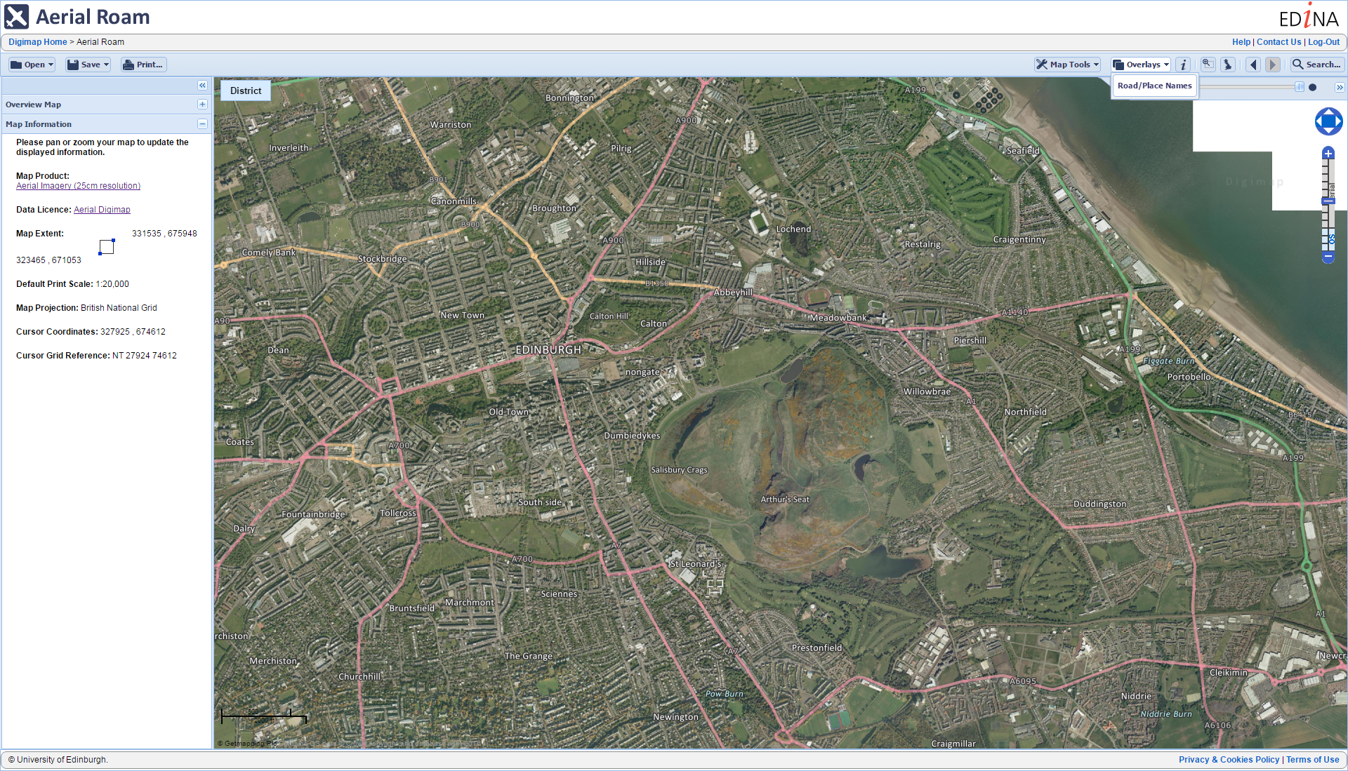
OS Roam:
| Product Name | OS Publication Date |
| OS VectorMap Local | October 2016 |
| OS VectorMap Local Raster | October 2016 |
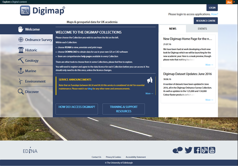
The OS data update page is kept up to date with all dataset updates in the collections.
If you have any questions about the dataset updates or Digimap please contact us:
- Phone: 0131 650 3302
- Email: edina@ed.ac.uk