
EDINA is pleased to announce the launch of Aerial Digimap, a new Collection offering aerial photography from Getmapping Plc.
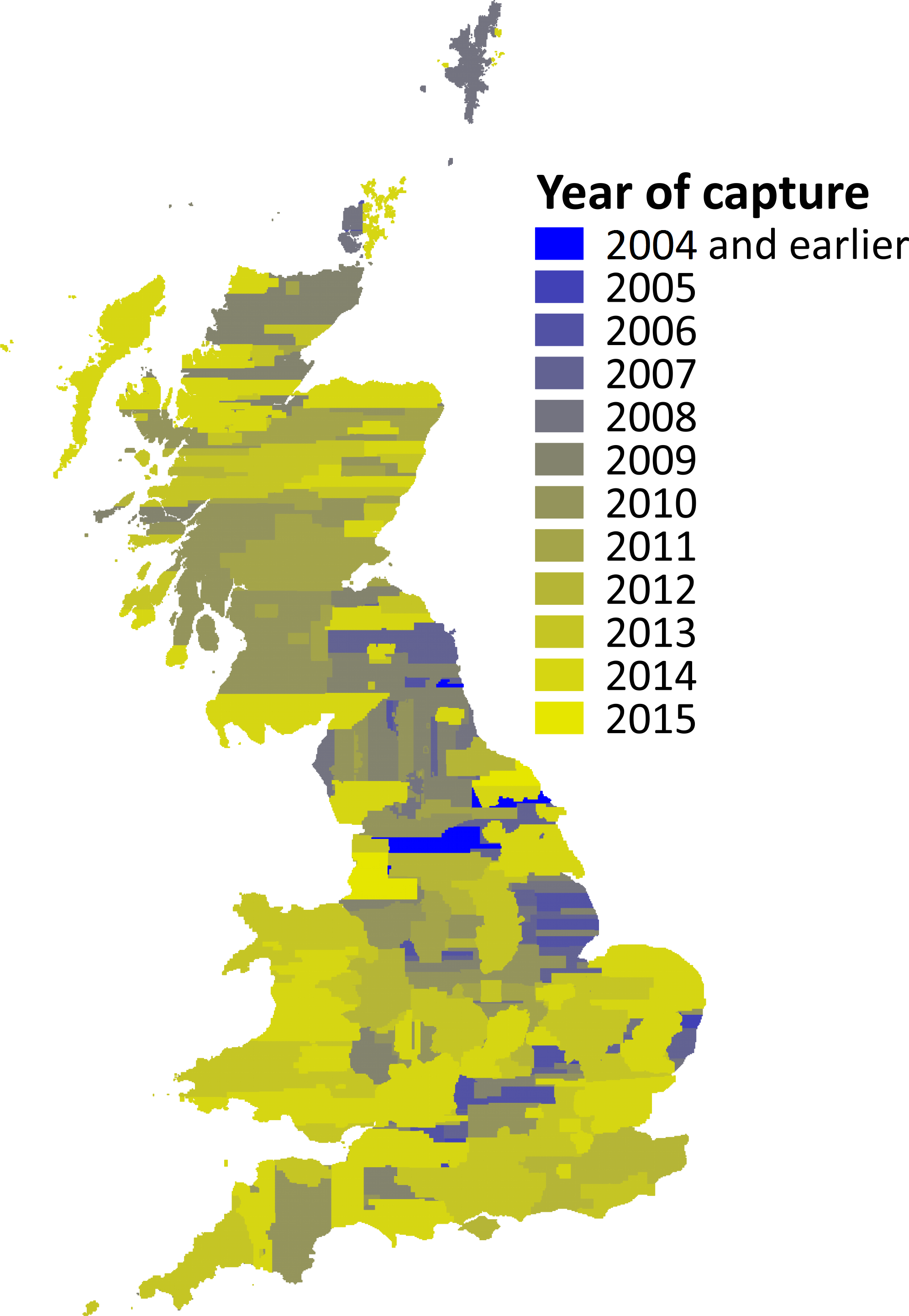
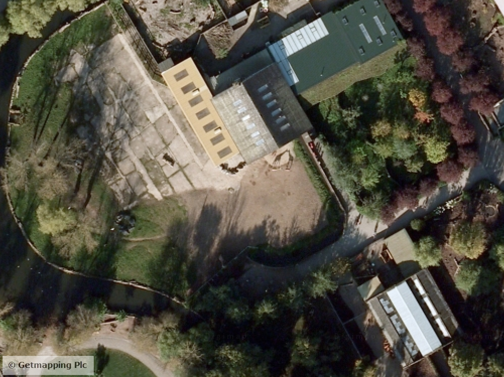
The crystal clear imagery from Getmapping is 25cm resolution vertical aerial photography and the most detailed national coverage available. The largest proportion of the imagery dates from post-2011 with updates due every year.
Aerial Digimap offers both a mapping and a data download facility, both familiar to those who already have access to other Digimap Collections.
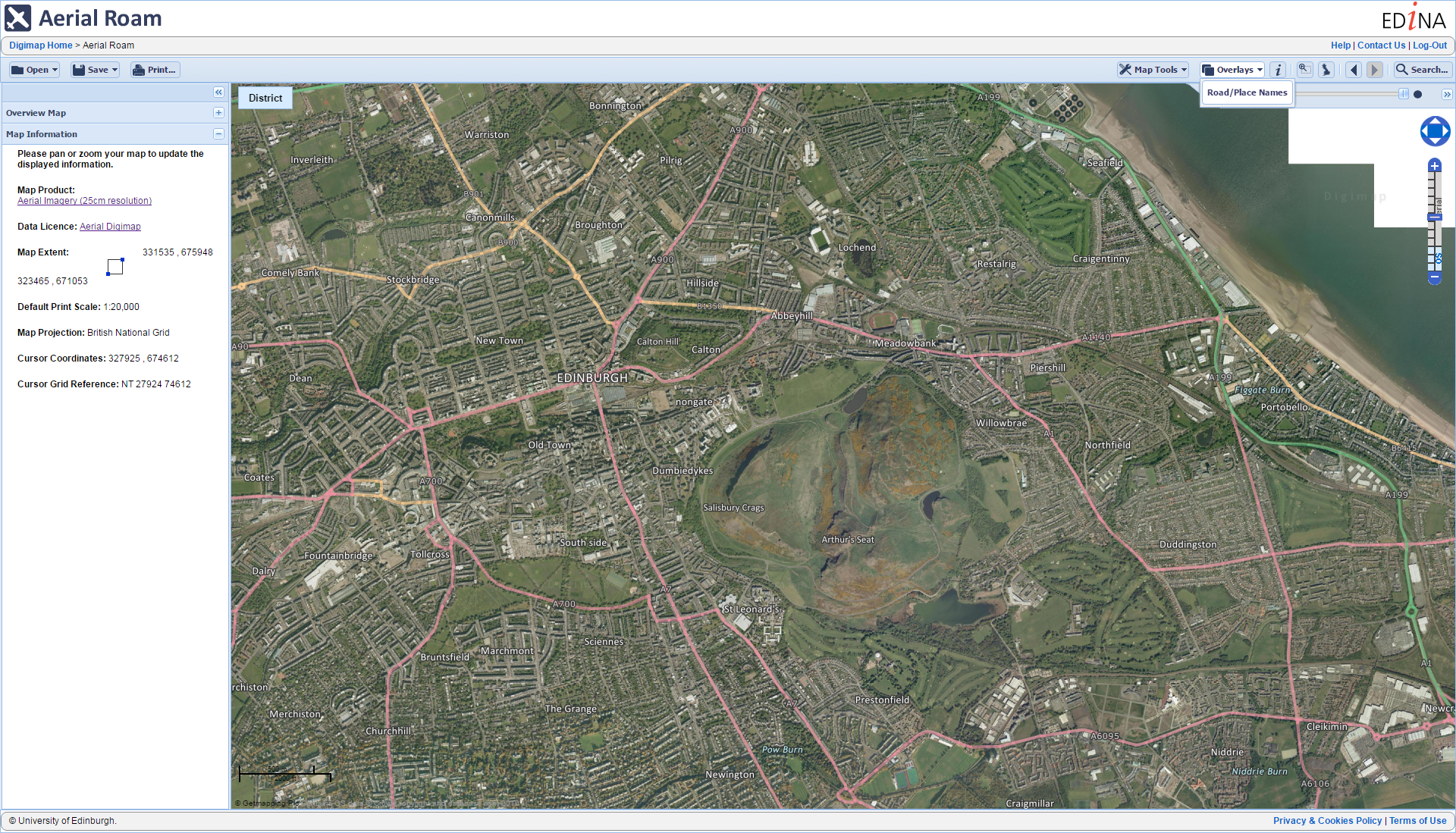
Aerial Roam offers the ability to view, annotate and print the aerial photographs as well as an overlay function to allow comparison with current Ordnance Survey mapping.
Aerial Download offers the ability to select specific locations for which to download the aerial photography for use in local desktop software. Data is delivered in jpeg format each with a corresponding world file (.jgw).
You can see a preview of the new service on Digimap’s YouTube channel: https://youtu.be/rAiO4XXRD5Q
[youtube width=”600″ height=”400″]https://youtu.be/rAiO4XXRD5Q[/youtube]
How to Subscribe
In order to access Aerial Digimap, your institution must subscribe. Please contact your local Digimap Site representative, Learning Resources team or Information Services to express your interest, (you can find your site rep details on this help page: http://bit.ly/DigimapSiteReps).
Subscriptions must be requested by an authorised member of staff. Details about how to subscribe to Aerial Digimap can be found here: http://bit.ly/AerialDigimapSubs
Please contact EDINA directly on edina@ed.ac.uk with any subscription enquiries.