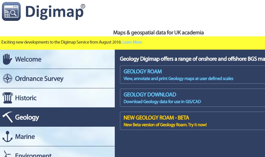
Digimap is launching a fresh, new-look home page on 1st August 2018. All the functionality of the current page will still be available and easy to find, but the new page will look like this:
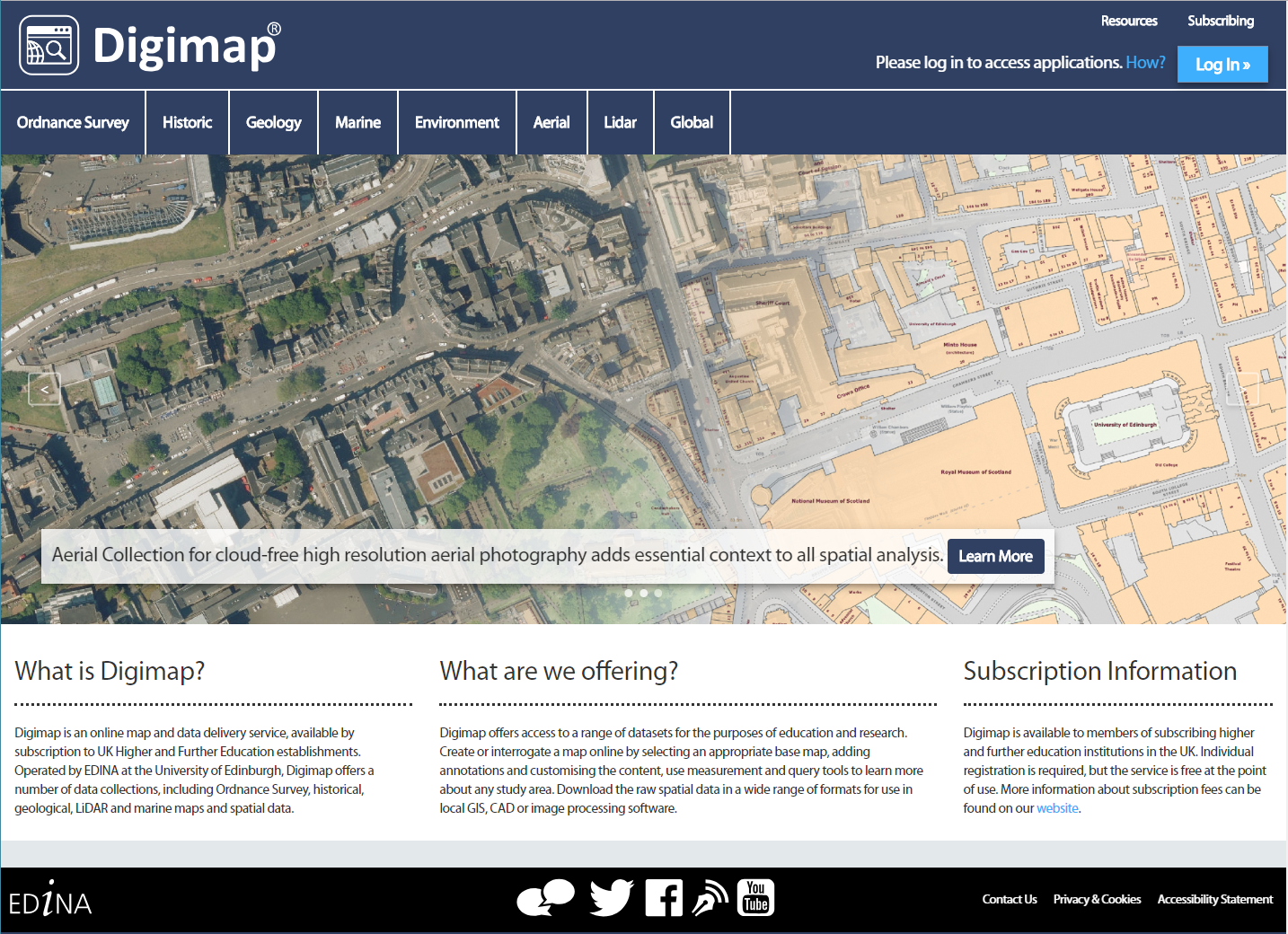
Links to each Digimap Collection run horizontally across the top of the page, rather than vertically down the left hand side, leaving room for future developments.
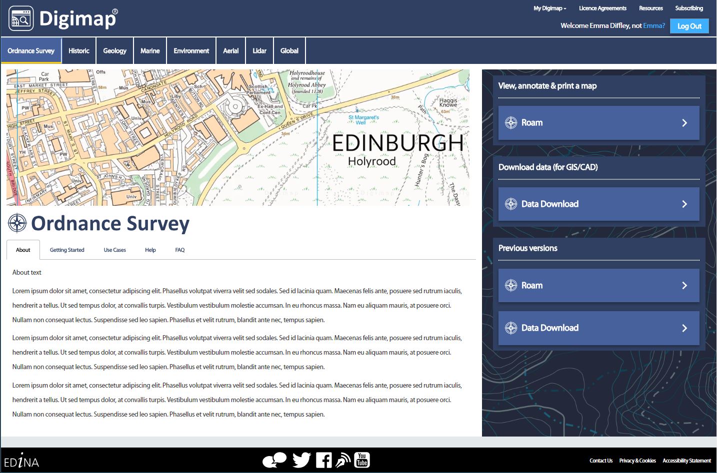
As with the current homepage, login is possible either using the login button in the top right corner or by accessing each Roam or Data Download application directly.
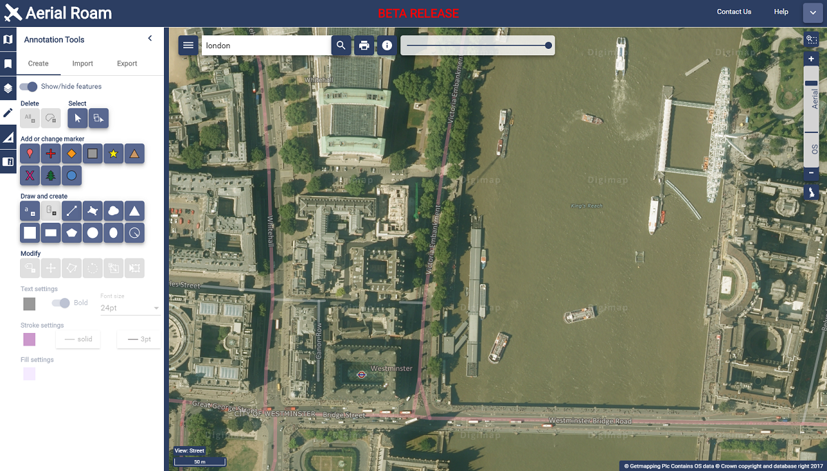
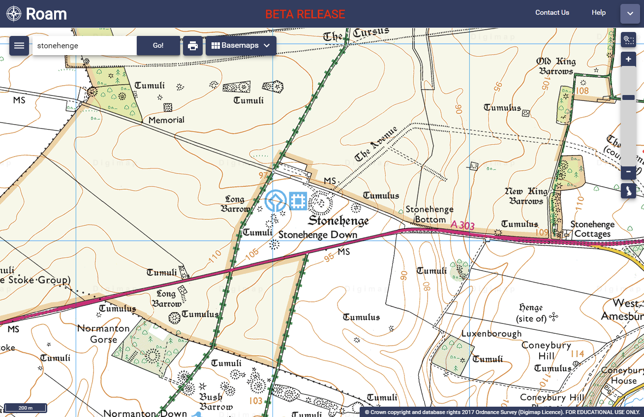
There is also now a bold image illustrating the maps and data in each collection, making it clear what to expect when you access the service.
“Access maps and data in just two clicks: select the collection first, then the application you need.”
The left hand column has expanded to include more information about the maps and data in each collection. It also provides more detail on how to access the maps and data and easier links to help information. Our objective was to provide a better insight into the content of each Collection, inspiring ideas and showcasing some of the data available.
Access to Roam and Data Download will continue to be easy using the big buttons on the right hand side. You will also be able to access previous versions of applications, as you can now, below the current versions, and the existing user registration system remains unchanged. We have endeavoured to make better use of the space on each page, offering a fresh new look while maintaining a clear and easy route to access all facilities.
As ever, we welcome any feedback on Digimap:
- Email: edina@ed.ac.uk
- Phone: 0131 650 3302
- Twitter: @EDINA_Digimap
- Facebook: www.facebook.com/EDINADigimap