
On a recent visit to the University of Exeter the Digimap team learned of their regular Mapathon sessions. Dr Damien Mansell from the University of Exeter’s Department of Geography has kindly written a short piece about their mapathons for this blog:
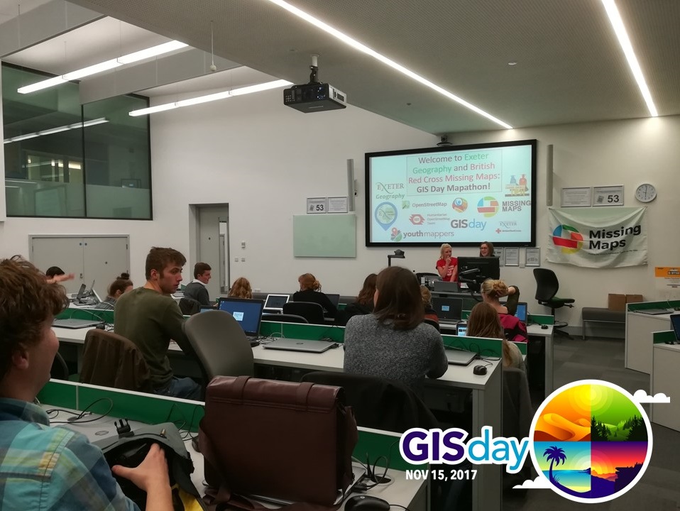
![]() The second week of November was an important one for Geographers and Geography departments around the world. Not only was it Open Street Map Geography Awareness Week but on the 15th of November it was also GIS day. Both initiatives are international forums to develop interest and understanding of the subject, the technology of Geographical Information Systems, showcase applications, raise public awareness of the significance of place and encourage collaborative mapping. To celebrate, the University of Exeter Geography department hosted a Missing Maps Mapathon. The mapathon collaborates with British Red Cross and Humanitarian Open Street Map Team to map an area where humanitarian organisations are trying to meet the needs of vulnerable people. This mapathon was mapping the Kurigram District in Bangladesh in order to effectively implement disaster risk reduction activities, to enhance resilience to future floods. During the 2 hour mapathon which included wine and pizza, The University of Exeter volunteers managed to make 2,272 map edits which included 2,035 buildings and 1,134 km of roads. The humanitarian aid projects continues at Exeter and we encourage you to host a mapathon for yourselves! http://www.missingmaps.org/host/
The second week of November was an important one for Geographers and Geography departments around the world. Not only was it Open Street Map Geography Awareness Week but on the 15th of November it was also GIS day. Both initiatives are international forums to develop interest and understanding of the subject, the technology of Geographical Information Systems, showcase applications, raise public awareness of the significance of place and encourage collaborative mapping. To celebrate, the University of Exeter Geography department hosted a Missing Maps Mapathon. The mapathon collaborates with British Red Cross and Humanitarian Open Street Map Team to map an area where humanitarian organisations are trying to meet the needs of vulnerable people. This mapathon was mapping the Kurigram District in Bangladesh in order to effectively implement disaster risk reduction activities, to enhance resilience to future floods. During the 2 hour mapathon which included wine and pizza, The University of Exeter volunteers managed to make 2,272 map edits which included 2,035 buildings and 1,134 km of roads. The humanitarian aid projects continues at Exeter and we encourage you to host a mapathon for yourselves! http://www.missingmaps.org/host/
Images copyright Dr Damien Mansell/University of Exeter