
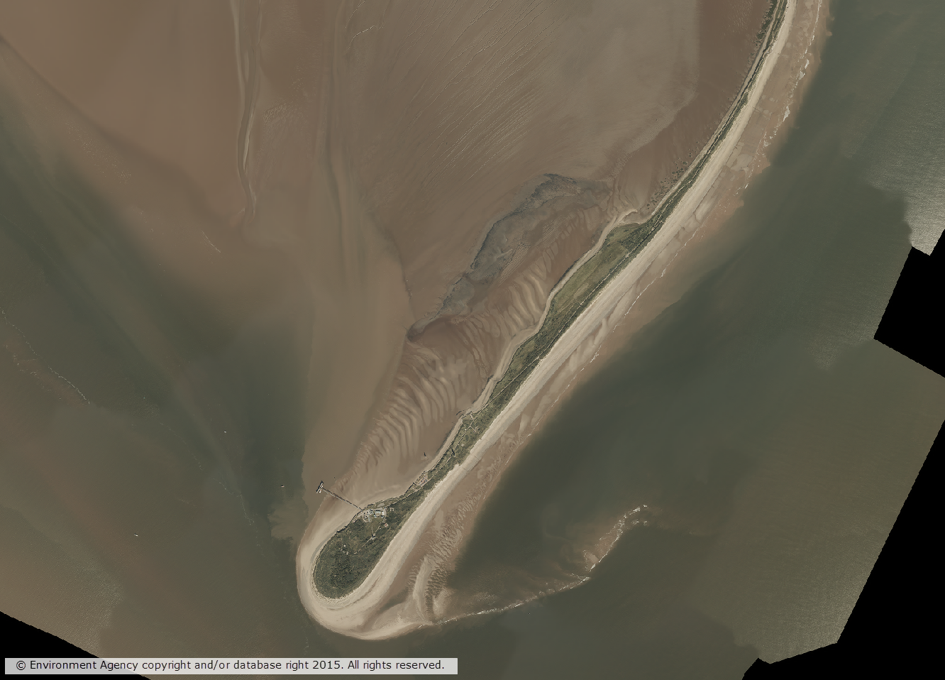
We recently made available, through the Digimap Lidar Collection, a wealth of Vertical Aerial Imagery data captured by the Environment Agency for England. The Environment Agency has been capturing vertical aerial imagery since 2006 on a project by project basis, so the coverage is not continuous across England. Availability grids for each year of data are available in the Lidar Download application. Data is available in some locations for multiple dates where the location has been surveyed on more than one occasion.
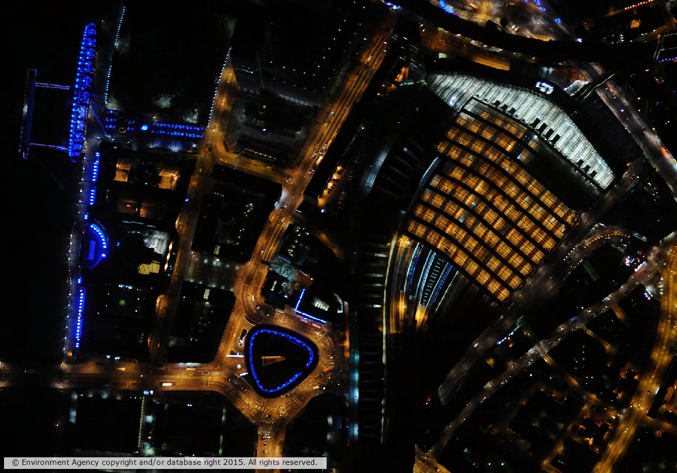
Some of the imagery was captured at night time giving an insight in to the effects of urban light pollution.
Data format
The data is supplied in the raster ECW (enhance compressed wavelet) format, which should be readable by most modern GIS and image processing software. The data is tiled and tile sizes range from 1km x 1km to 5km x 5km and the resolution of the data ranges from 10cm to 50cm. There are three types of imagery available:
- True colour – red, green, blue (RGB)
- Near Infra-Red (NIR)
- 4-band (RGBN)
Access
Lidar download is available to all institutions that subscribe to Aerial Digimap, meaning that subscribing institutions now have access to another detailed aerial imagery dataset.
For information on subscribing to Aerial Digimap, please see the subscription page.
If you have any questions about the new data or Digimap please contact us:
- Email: edina@ed.ac.uk