
We are pleased to announce the addition of two new datasets to the Digimap Ordnance Survey Collection, which are available to download through the Data Download application. Both these datasets are detailed network datasets and form part of the OS MasterMap family of products. The datasets should prove useful for individuals carrying out detailed network analysis using the road and river network of Great Britain.
OS MasterMap Highways Network
OS MasterMap Highways Network is a new dataset from Ordnance Survey which provides the most detailed road network dataset available for Great Britain. The new Highways Network product is a replacement for OS MasterMap Integrated Transport Network (ITN), which will be retired at some point in the future. Highways Network was built using ITN as the base network and then further improved adding information from other authoritative sources including the National Street Gazetteer (NSG) and local authorities in England and Wales.
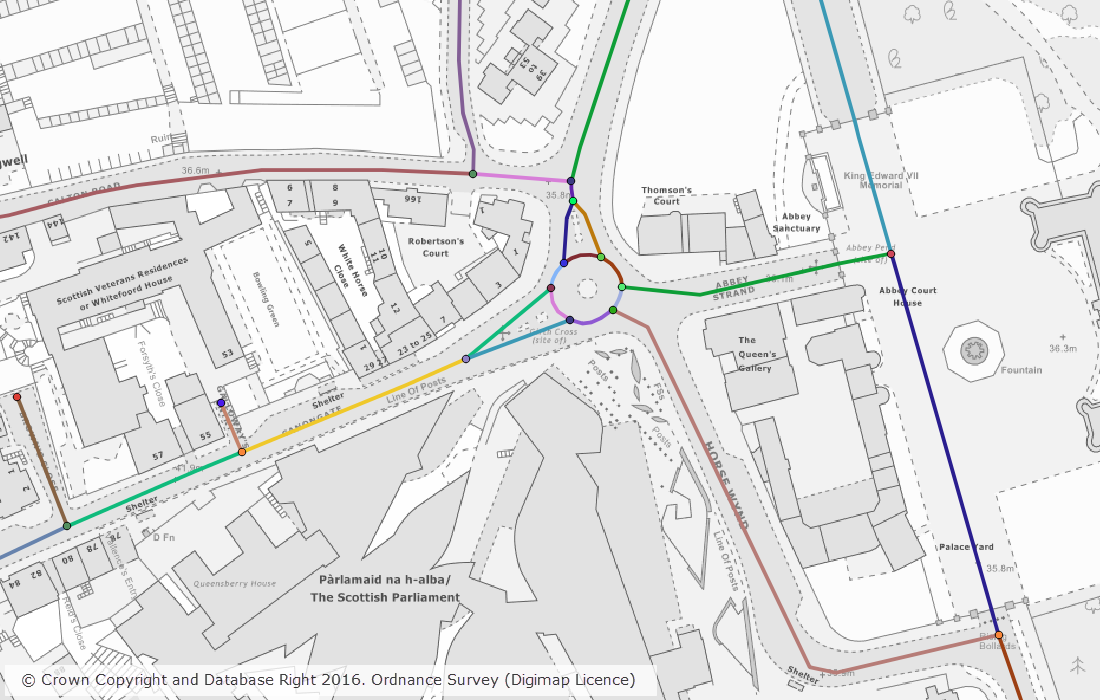
Highways Network is provided in GML format as a single, national dataset covering the whole of Great Britain. This is a large dataset and is available through Digimap as a single download of 1.1GB in size.
Ordnance Survey have produced a number of supporting documents that are available for download directly from their website. We recommend that you consult these before using the data.
Current version: June 2016
OS MasterMap Water Network Layer
OS MasterMap Water Network Layer is a new network dataset from Ordnance Survey that represenets the centrelines of watercourses including flow direction and suplementary information.
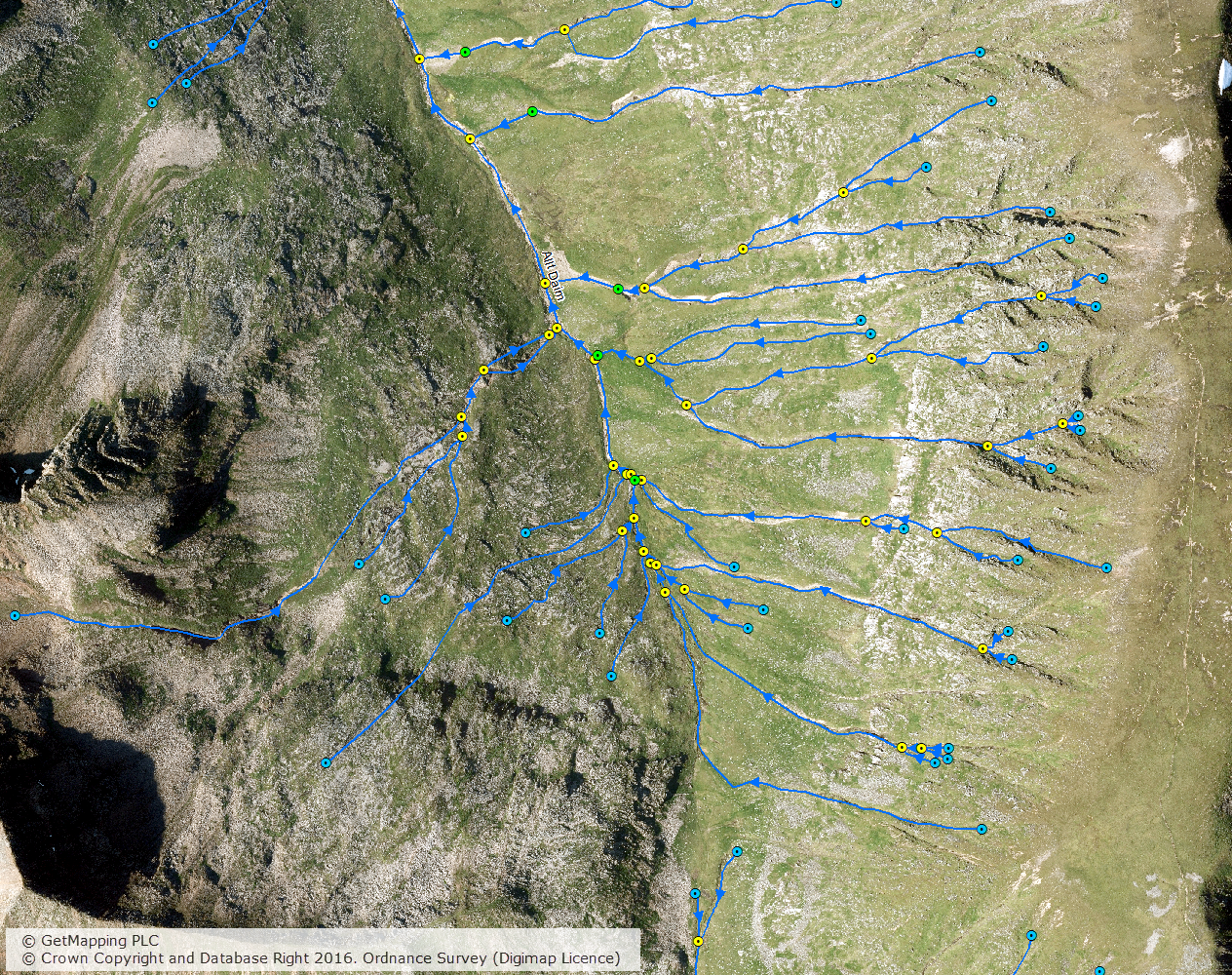
OS MasterMap Water Network Layer is provided in GML format in 5 x 5km tiles. Water network features that cross tile boundaries are included in all tiles that they cross, so the data is called ‘hairy data’ due to the presence of these ‘hairs’ around the edge of each tile. This means that some processing is required to de-duplicate the features that cross tile boundaries if your order contains data from more than one 5 x 5km tile.
OS MasterMap Water Network Layer is projected in the ESPG 7405, which is a British National Grid projection that also includes the Z value using Ordnance Datum Newlyn.
Ordnance Survey have produced a Getting Started Guide which describes the process of importing the Water Network Layer in to common GIS packages.
Current version: October 2016