The new Data Download has been updated with a few more enhancements that will make it even easier to use; it is now no longer in BETA.
 A selection of the improvements made include:
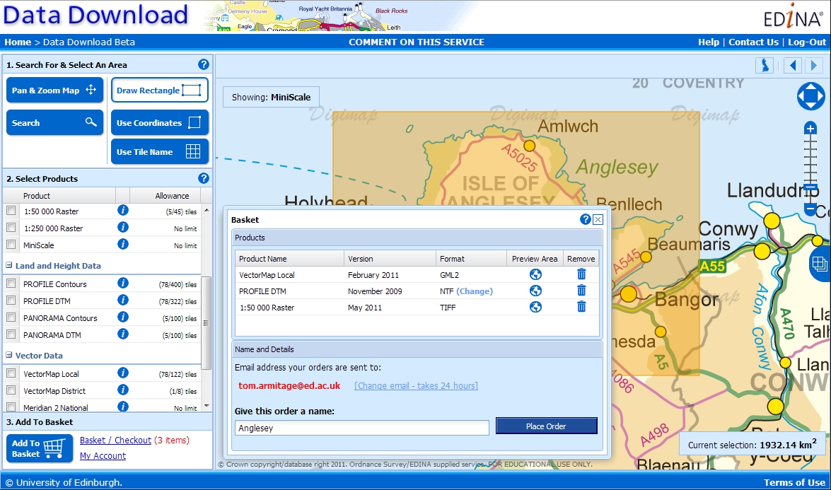
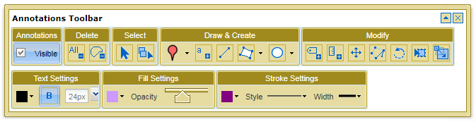
- Changes to where you change between panning the map and drawing a rectangle to select to make it more obvious what you are doing.
- A general improvement of the lay out and buttons used.
- My Account has been moved to the top right of the screen.
- Better product information by clicking on the
 icon.
icon. - You can clear the selection you have just made using the
 button.
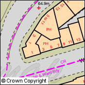
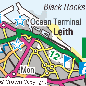
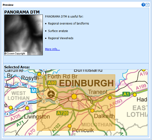
 - A greatly improved preview of the each dataset in basket, showing what the product is like, what it can be used for, and the extent of the area you are taking:
 These changes have been made in response to recommendations from a usability project run in conjunction with the redevelopment of the Data Download service. You can read more about this project, called USeD, on its blog here:
The enhancements also include a fix to a bug that some users experienced when using the latest version of the Google Chrome web browser; the interface no longer offsets the area you select when displaying it on the map.