We are pleased to announce that the Points of Interest dataset from Ordnance Survey is now available to download through the Digimap Data Download application.
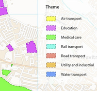
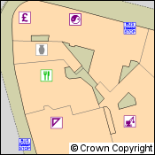
Points of Interest is a national dataset covering the whole of Great Britain and contains over 4 million different features. All features are supplied with location, functional information and addresses (where possible). Points of Interest has a three-level classification to assist customers in identifying the features or sets of features they require. This classification is explained in detail in chapter 3 of the official User Guide. The top level classification is given below:
- Accommodation, eating and drinking
- Commercial services
- Attractions
- Sport and entertainment
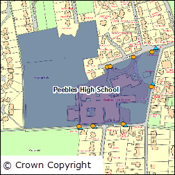
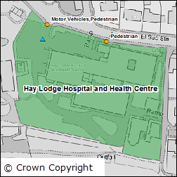
- Education and health
- Public infrastructure
- Manufacturing and production
- Retail
- Transport
Please note: the copyright statement for Points of Interest is slightly different to the usual Digimap statement as the data is licensed from PointX by Ordnance Survey. The correct copyright statement that should be displayed with Points of Interest data is included below:
© Crown Copyright and Database Right 2015. Ordnance Survey (Digimap Licence). This material includes data licensed from PointX© Database Right/Copyright 2015.
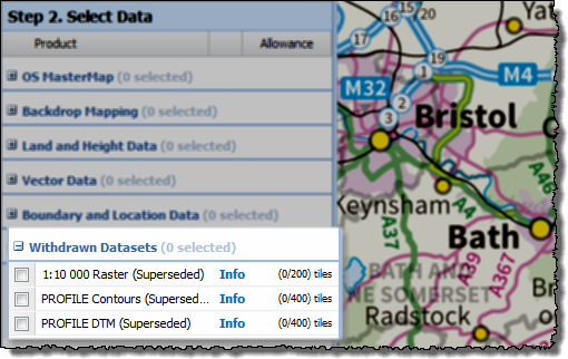
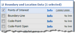
The data can be found in the Boundary and Location Data section in Data Download:
The data is provided in CSV format and uses the pipe character as the field separator. To load this in to GIS for visualisation on a map requires a couple of short steps to create a definition file so that the GIS application uses the correct data types for each field in the file. We have created instructions on how to do this in ArcGIS and QGIS:
If you have any questions about Points of Interest or Digimap please contact us:
- Phone: 0131 650 3302
- Email: edina@ed.ac.uk