Geology Digimap
Geology Roam and Geology download are now using the most up-to-date detailed geology map data:
- DiGMapGB-50 Version 6.20, 1:50,000 scale data
Geology Data isn’t updated very often, and it is great to have the data refreshed for the new academic year. Version 6 has a few new tiles; there are now only 3 tiles of missing data in Wales, and there have also been a few tile updates elsewhere in the UK such as SC064 which has now been split into two regular sized tiles, SC064E Ben Macdui and SC064W Newtonmore.
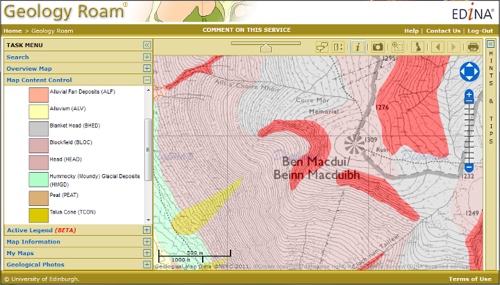
There have also been some small changes to the attribution of the data which is now at level 20. The main difference is that each polygon now has a link to both the Lexicon of Named Rock Units and the Rock Classification Schema within it’s attributes. Digimap Roam already provided the key information via the Get Rock Info tool.
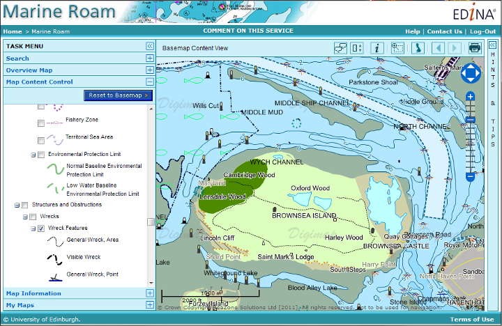
Marine Digimap
Marine Roam and Hydrospatial Download now benefit from updated Hydrospatial data. There are many updates to the features available and more layers area available across more tiles.