Any views expressed within media held on this service are those of the contributors, should not be taken as approved or endorsed by the University, and do not necessarily reflect the views of the University in respect of any particular issue.
Digimap is an online map and data delivery service, available by subscription to UK Higher and Further Education establishments. Operated by EDINA at the University of Edinburgh, Digimap offers a number of data collections, including Ordnance Survey, historical, geological, aerial photography, LiDAR, marine maps, land cover mapping, global mapping and census data. For more information about Digimap go to our website: https://digimap.edina.ac.uk Background image Contains OS data (c) Crown Copyright and database right 2022
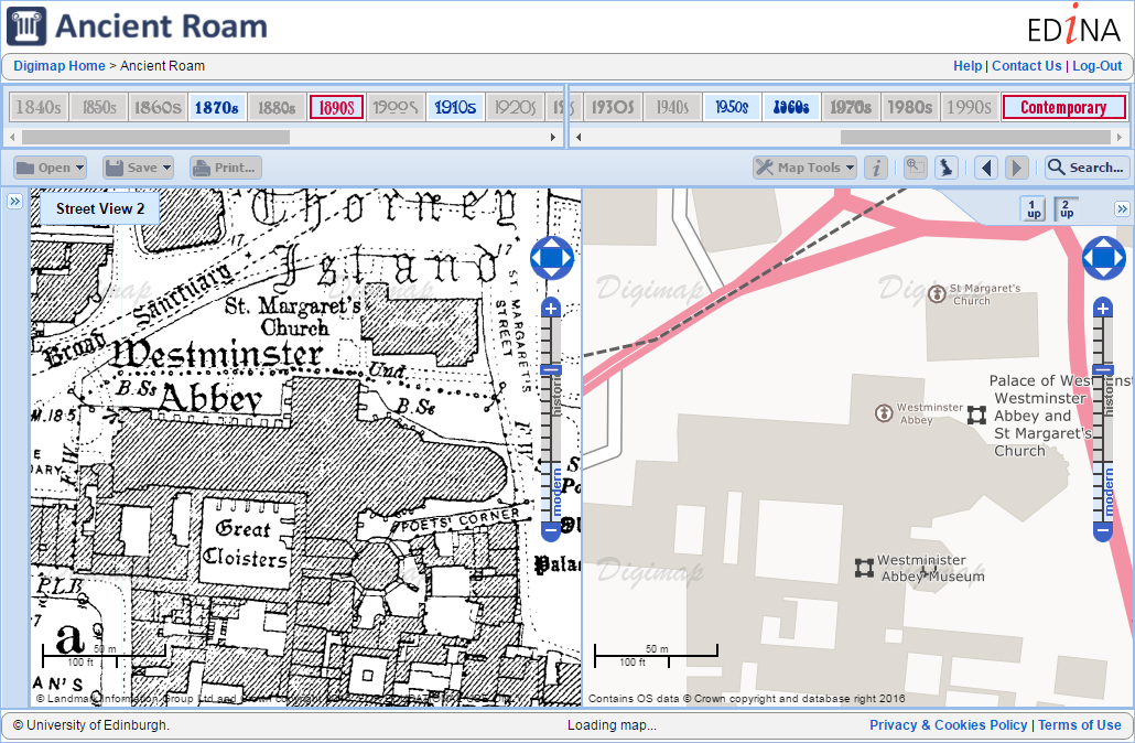
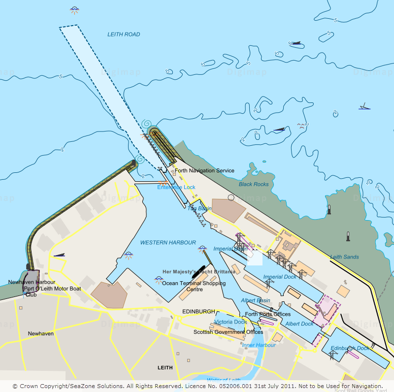
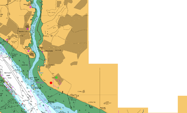
We have recently added detailed, large scale, contemporary mapping to Ancient Roam allowing users to compare side by side historic mapping with detailed modern mapping.
The detailed modern mapping is visible at all zoom levels in both the 1-up and 2-up views. The most detailed mapping uses the new OS OpenMap – Local product, which is the most detailed Open Data product available from Ordnance Survey and can be downloaded through the Digimap Ordnance Survey collection. We further enhanced the most detailed mapping to include the additional features from OS VectorMap District:
Contours
Spot heights
Medical centres
Police stations
Heritage sites
Places of worship
The other products we have added are OS StreetView and OS VectorMap District Raster to provide a comprehensive set of contemporary map data suitable for all zoom levels in Ancient Roam.
We hope you find the new data useful, if you have any questions about the updates or Digimap please contact us:
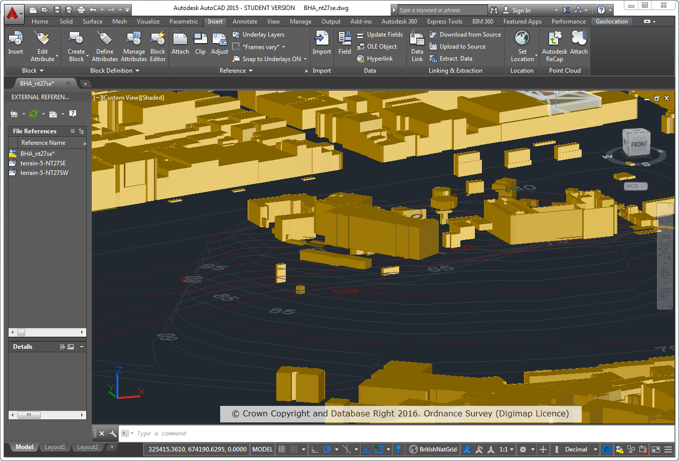
As many of you may be aware, the number of users of the Digimap service using CAD systems has increased considerably over the years. As this user base has grown we have endeavoured to make the data we provide as easy to use as possible in these systems. As part of this effort to continually improve the service we offer, we have made some considerable enhancements to the products we offer for use in CAD systems.
Part of the problem is that there is a proliferation of systems in use under the general banner of ‘CAD’ systems, including AutoCAD, Revit, Rhinoceros, Vectorworks to name a few. A common factor between these systems is that they can accept vector data in DWG format, however, the way that DWG data is handled can vary between systems.
A number of our products in DWG format were loading into CAD systems but some were not correctly spatially referenced. This meant that although the data looked fine and worked perfectly well on its own, but it was difficult to overlay or integrate it with other datasets. We have now fixed this issue, so that it is possible to overlay common products together much more easily.
To accompany the DWG map data we also provide Digital Terrain Model (DTM) data to allow you to create a landsurface to loacte buildings and infrastructure on. In the past we only provided the OS Terrain 5 DTM in a format that was not so easily used in some CAD systems. To remedy this, we are now delivering OS Terrain 5 DTM in the XYZ format that can be used in most CAD systems.
These are the Changes we have made:
All data available as DWG should overlay correctly where appropriate in AutoCAD Map 3D, AutoCAD, AutoCAD Civil, Revit and Rhinoceros.
All data has the correct Spatial Reference (British National Grid) and Units (metres).
OS Terrain 5 Contours are available as 3D Polyline data which is suitable for creating surfaces in Revit and Rhinoceros 5.
OS Terrain 5 DTM is available in an XYZ format which can be used to create surfaces in AutoCAD and Rhinoceros 5.
OS MasterMap Sites Layer is now available in DWG.
OS MasterMap Topography Layer Building Height Attribute data on top of OS Terrain 5 Contours
We have updated our help pages in line with these changes and recommend that you consult the AutoCAD FAQ page which has further details for how you can load Digimap data in to common CAD packages.
We hope our CAD users find these changes useful but if you have any questions about using Digimap data in a CAD system please let us know. Similarly if you can provide us with any information about using Digimap data in a CAD system we would be very pleased to hear from you.
A number of datasets in the Ordnance Survey Collection have been updated in May this year. We’ve also made a number of improvements to some of the datasets that are popular for 3D modelling which will hopefully make it easier to use these datasets in CAD applications. The main changes are:
OS MasterMap Sites Layer now available in DWG and ESRI Shapefile format (previously it was only available in GML)
OS Terrain 5 DTM is now available in XYZ format for use in CAD applications
OS Terrain 5 Contours in DWG format are now provided as as 3D contours with the height of each feature set to the correct contour height
The data format help page has been updated to reflect these changes and is a good place to go if you are interested to see which datasets are available in a specific format.
The dataset updates are detailed in the tables below for OS Data Download and OS Roam:
OS Data Download:
Product Name
OS Publication Date
Boundary Line
May 2016
* OS Locator
May 2016
OS Terrain 5 Contours
April 2016
OS Terrain 5 DTM
April 2016
OS VectorMap Local Raster
April 2016
OS VectorMap Local
April 2016
OS Open Roads
May 2016
Code-Point Open
May 2016
* Note: this is the last update to OS Locator that will be supplied by Ordnance Survey who have announced that they are retiring this product. Users are advised to use OS Open Names instead. Whilst the data will still be available to download through Digimap, these products will no longer be updated to reflect changes in the real world.
Lots of datasets were updated in March and April this year, with the majority of updates being to data in the Ordnance Survey Collection of Digimap. We also updated the vector marine data in Marine Roam so that it is now displaying the same version that is available for download through Marine Download; the Borehole data in Geology Download has also been updated to the latest version.
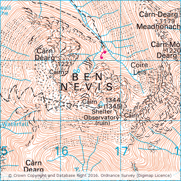
The updates include the latest versions of the 1:50,000 and 1:25,000 Colour Raster products which show the new height of Ben Nevis. The mountain, which is the tallest in Britain, was recently resurveyed by OS and found to be one metre taller than the measurements taken during the previous survey in 1949. If you’re interested in finding out more about the resurvey, and why two different heights are shown for the summit on the maps, the Ordnance Survey have published a blog post which explains the process in detail.
The tables below detail all the datasets that were updated recently in each Collection along with the publication dates of each one.
OS Data Download:
Product Name
OS Publication Date
1:25,000 Colour Raster
March 2016
1:50,000 Colour Raster
March 2016
MasterMap Topography Layer
January 2016
VectorMap Local
January 2016
VectorMap Local Raster
January 2016
VectorMap District
March 2016
VectorMap District Raster
March 2016
Terrain 5 Contours
January 2016
Terrain 5 DTM
January 2016
Code-Point with Polygons
January 2016 and April 2016
Code-Point
February 2016
Code-Point Open
February 2016
Points of Interest
March 2016
Open Names
March 2016
MiniScale
January 2016
* OS Street View
April 2016
* Meridian 2
July 2015 and January 2016
* Strategi
January 2016
OS Roam:
Product Name
OS Publication Date
1:25,000 Colour Raster
March 2016
1:50,000 Colour Raster
March 2016
MasterMap Topography Layer
January 2016
VectorMap Local
January 2016
VectorMap Local Raster
January 2016
VectorMap District Raster
March 2016
Terrain 50 Contours
July 2015
MiniScale
January 2016
* Meridian 2
January 2016
* Strategi
January 2016
* Note: these are the last updates to OS Street View, Merdian 2 and Strategi that will be supplied by Ordnance Survey who have announced that they are retiring these products. Whilst the data will still be available to download through Digimap, these products will no longer be updated to reflect changes in the real world.
As well as all the changes in the Ordnance Survey collection, we have also updated the vector data in Marine Roam from Seazone Solutions. This brings the data up to date with the latest version of the product from SeaZone Solutions, which is also available for download through Marine Download.
Product Name
SeaZone Publication Date
HydroSpatial One
August 2015
Geology Download:
Finally the Borehole data available in Geology Download has also been updated to the latest version available from the British Geological Survey.
Product Name
BGS Publication Date
Onshore Borehole Index
January 2016
If you have any questions about the dataset updates or Digimap please contact us:
Last week (3rd March) we released a new version of Digimap which includes a number of changes that may be of interest to our growing user base. Our set-up allows us to release new versions without requiring any downtime so the recent changes are highlighted below as they may not be obvious at first glance.
Greyscale versions of the 1:25,000 Colour Raster and 1:50,000 Colour Raster have been added to OS Roam
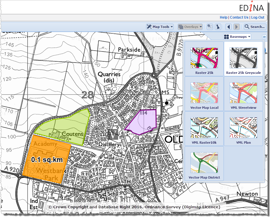
We have added greyscale versions of the 1:25,000 Colour Raster and 1:50,000 Colour Raster products in the Roam client of the Ordnance Survey Collection. These can be selected using the Basemaps drop-down.
The new greyscale versions make it much easier to see your annotations on top of the basemap. The greyscale versions can be saved and printed like all other basemaps available in OS Roam.
Warning about losing changes in all Roam clients
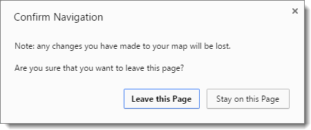
If you customise a map in one of the Roam clients, for example by modifying the layers that are displayed or by creating annotations on the map, then press the browsers back button or navigate away from Roam you will now see a warning prompt advising you that you may lose your changes. The prompt that is displayed in Chrome is shown below:
The prompt is not displayed if you have saved the map, printed the map, or exported the annotations.
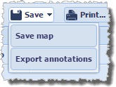
Updates to the Open/Save wording in all Roam clients
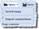
We have updated the text on the Open and Save menus in all Roam clients to make it clearer what each option does:
Open > Saved maps allows you to open any maps you have previously created and saved within Roam.
Open > Import annotations is where you go to import external datasets in to Roam (we currently support the import of datasets in Shapefile, KML, GPX, CSV, and GeoJSON formats).
Save > Save map will save the current map extents along with any annotations to Digimap for retrieval at a later date.
Save > Export annotations allows you to export annotations from Roam as an external dataset for use GIS/CAD (we currently support the export of datasets in Shapefile, KML, and GeoJSON formats).
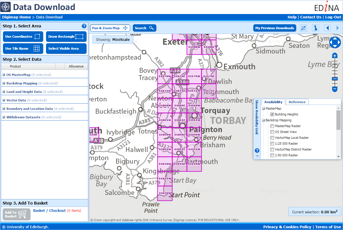
Background mapping in Data Download of all Collections is now shown in greyscale
The background mapping data in all Data Download clients has been converted to greyscale:
This makes it much easier to see the availability and reference grids in these applications.
Further improvements
We hope you enjoy using these new features. We are continually improving the service so if you have any suggestions for improvements to the service please get in touch:
Lots of datasets were updated in February this year in the Ordnance Survey Collection of Digimap. The tables below detail all the datasets that were updated last month along with the OS publication dates of each one.
OS Data Download:
Product Name
OS Publication Date
MasterMap Topography Layer
January 2016
VectorMap Local
January 2016
VectorMap Local Raster
January 2016
Terrain 5 Contours
January 2016
Terrain 5 DTM
January 2016
Code-Point with Polygons
January 2016
Code-Point
February 2016
Code-Point Open
February 2016
MiniScale
January 2016
* Meridian 2
July 2015 and January 2016
* Strategi
January 2016
OS Roam:
Product Name
OS Publication Date
MasterMap Topography Layer
January 2016
VectorMap Local
January 2016
VectorMap Local Raster
January 2016
Terrain 50 Contours
July 2015
MiniScale
January 2016
* Meridian 2
January 2016
* Strategi
January 2016
* Note: the January 2016 updates to Strategi and Meridian 2 are the last that will be provided by OS. The datasets will still be available to download through Digimap but they will no longer be updated to reflect changes in the landscape. Alternative products, which are still maintained by OS, are available including VectorMap District, 1:250,000 Colour Raster and MiniScale.
A number of datasets have been updated in January in both the Ordnance Survey and Marine collections.
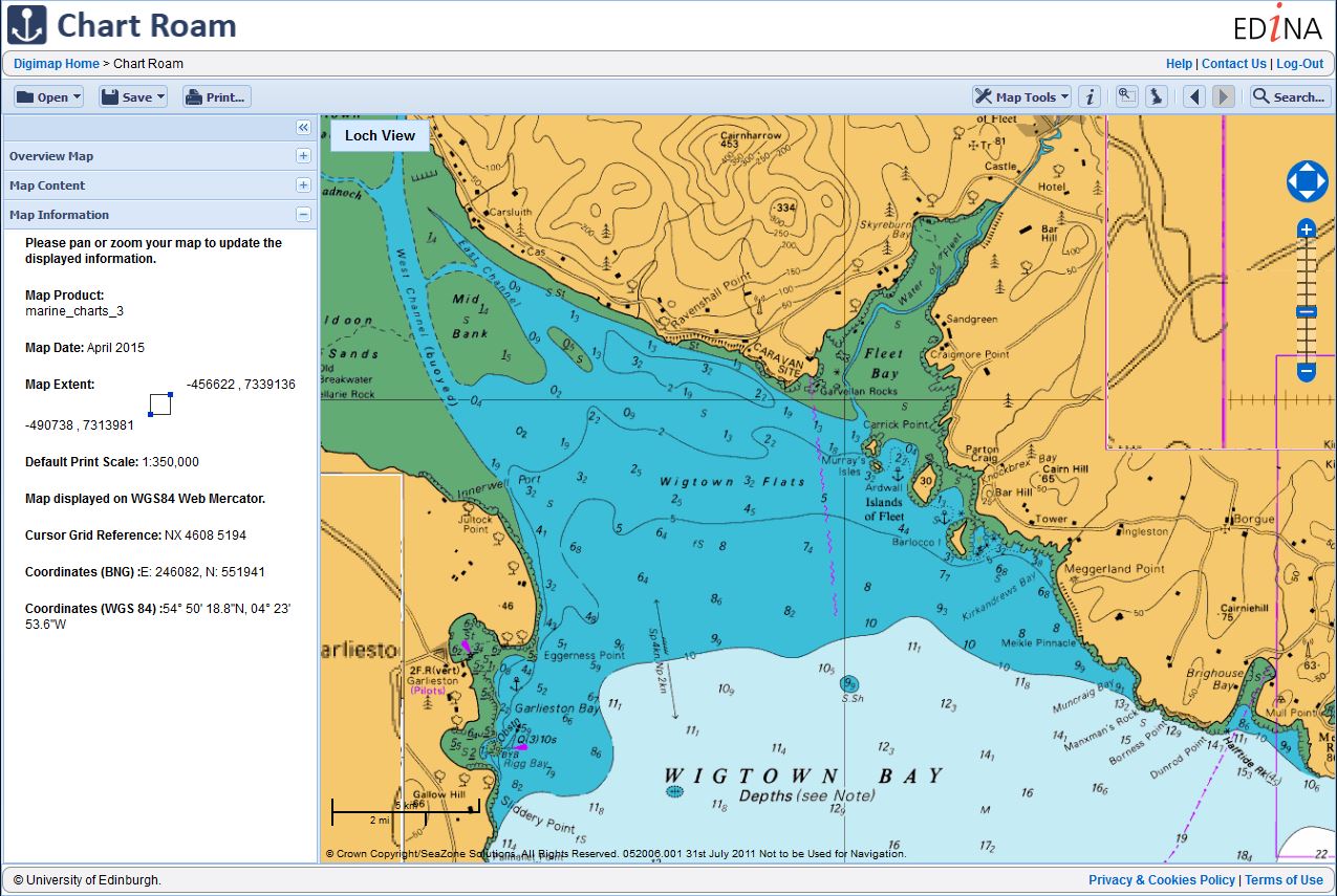
We reported back in December that the new ‘No Marginallia’ version of SeaZone HydroView Charts were available to download through Marine Download. Since releasing this new version we have seen nearly 15% of downloads now requesting the new ‘No Marginalia’ version, which is great to see. Hot on the heels of this we have now made this new version available in the new Chart Roam application, which replaced Marine Maps. The ‘No Marginalia’ version was ideal for use in Chart Roam as the removed map marginalia means the charts are ideal for use in the slippy map interface in Chart Roam.
The tables below lists all the datasets that have been updated in each collection together with the publishing date for each one.
Ordnance Survey Roam
Product Name
OS Publication Date
1:25,000 Scale Colour Raster
December 2015
1:50,000 Scale Colour Raster
December 2015
OS VectorMap® District
September 2015
Ordnance Survey Data Download
Product Name
OS Publication Date
1:25,000 Scale Colour Raster
December 2015
1:50,000 Scale Colour Raster
December 2015
Points of Interest
December 2015
OS Open Names
January 2015
Chart Roam
Product Name
SeaZone Publication Date
HydroView Charts
August 2015
If you have any questions about the dataset updates or Digimap please contact us:
A number of key datatsets have been updated in Digimap this December in several of the collections.
Of particular note are the updates to the Marine collection. The HydroView Charts raster product from SeaZone is now available in two versions: ‘Full Marginalia’ and ‘No Marginalia’. Users can select the version after adding the product to the basket in Marine Download.
The ‘No Marginalia’ version has all extra information round the map (e.g. north arrows, scale bars, inset maps etc.) removed and replaced with transparent areas. This makes it ideal for use in GIS software allowing you to pan across adjacent charts without this information obscuring the map data.
Furthermore the Charted Raster .tif files are now supplied with .tab files for accurate positioning in MapInfo.
The tables below lists all the datasets that have been updated in each collection together with the publishing date for each one.
Ordnance Survey Data Download
Product Name
OS Published Date
Boundary-Line
October 2015
Geology Download
Product Name
BGS Published Date
Boreholes
January 2015,
April 2015,
July 2015,
October 2015
Marine Download
Product Name
SeaZone Published Date
HydroSpatial One
August 2015
HydroView Charts (all scales)
August 2015
If you have any questions about the dataset updates or Digimap please contact us:
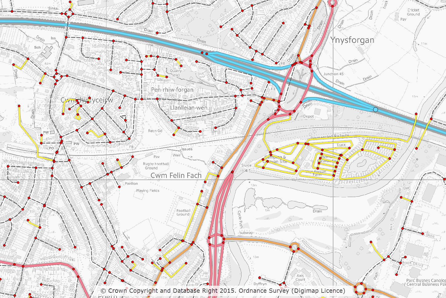
November has been a bumper month for updates in the Digimap Ordnance Survey Collection with updates to 15 of the datasets in the collection. Of particular note are the updates to two of the new Open Data products: OS Open Roads and OS Open Names. Both these products are still available as Beta versions as the products are still undergoing development by OS.
OS Open Roads on top of VectorMap Local Raster (displayed in greyscale using QGIS)
The tables below lists all the datasets that have been updated in the Digimap Ordnance Survey Roam and Data Download applications and include OS release dates for each one.
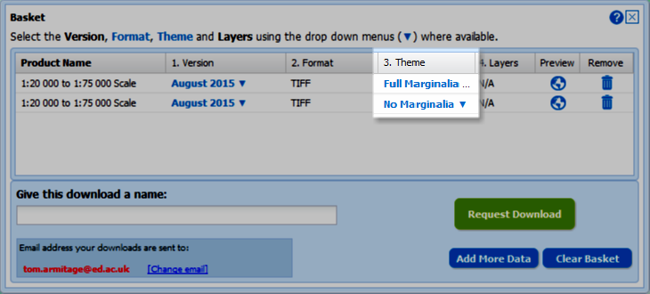
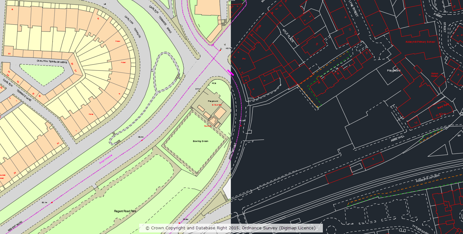
In April 2015 we made OS MasterMap Topography Layer data available to CAD users in DWG format. If you missed the announcement you can read all about it in this blog post. Since adding this option to Digimap we have processed over 13,000 orders for MasterMap in DWG format. Building on this we have now produced an outline ‘Plan’ style of MasterMap in DWG format which is a stripped down representation that mimics the alternative ‘Line Drawing’ style of MasterMap available in the Digimap Roam application.
OS MasterMap Topography Layer in standard and plan style
The alternative ‘Plan’ style is a cut down version of the full dataset and does not include polygons, users requiring the full dataset should download the original ‘Standard’ style which includes both lines and polygons.
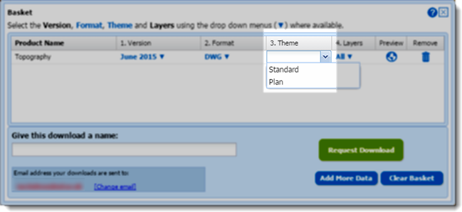
The style is specified in the basket window of the Data Download application using the drop-down in the ‘Theme’ column:
Selecting DWG plan style in the basket
We hope you find this new style useful, if you have any questions or suggestions for further improvements please contact us: