The VectorMap Local (VML) data in the New Data Download service has been updated, it is now current as of April 2012. VML data is currently only available to download in GML format as supplied by Ordnance Survey. However you can download a free converter from Rolta which will convert the GML to Shapefiles or MapInfo TAB files. There is guidance on where to get the converter and some pointer on how to use it on the following help page:
Guidance Notes for OS VectorMap™ Local
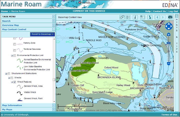
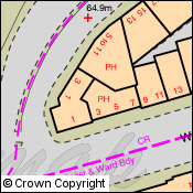
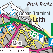
VectorMap Local in Digimap Roam
Processing the data for Digimap Roam takes a little longer than making it available for Download, but we hope to have it into service in the not too distant future. Remember that if you want to see VML data in Roam you have to zoom in to the Street View and use the alternative representations to change from the 1:10 000 Raster data to one of the four different VML styles.
Full instructions on how to view VML data in Digimap Roam can be found in this video:
[youtube width=”640″ height=”390″]http://www.youtube.com/watch?v=wadgUWe3jNA[/youtube]