 You may have noticed that the blog was pretty quiet in January and February. This has been due to an overwhelming response to the recent Digimap Surveys, and we’d like to thank everyone again who took the time to fill them in.
We have been busy creating the reports from the responses and making sure that the wealth of information you provided us is seen and recognised by our funding body, JISC. We have read so many stories about how important Digimap is to your studies, research and teaching and, as always, were very impressed by the new and innovative uses you have come up with.
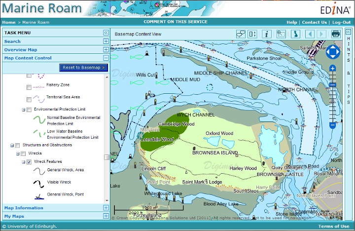
We are particularly glad to see that Marine Digimap is being used for teaching and studying offshore alternative energy. This is set to be an important area of research and a growth industry in the UK so we are very pleased to see our service playing a part. Please get in touch with us if you would like your institution have trial access to Marine Digimap, or any of the other collections, to see how you can be using it to enhance your work.
Email: edina@ed.a.uk Phone: 0131 650 3302
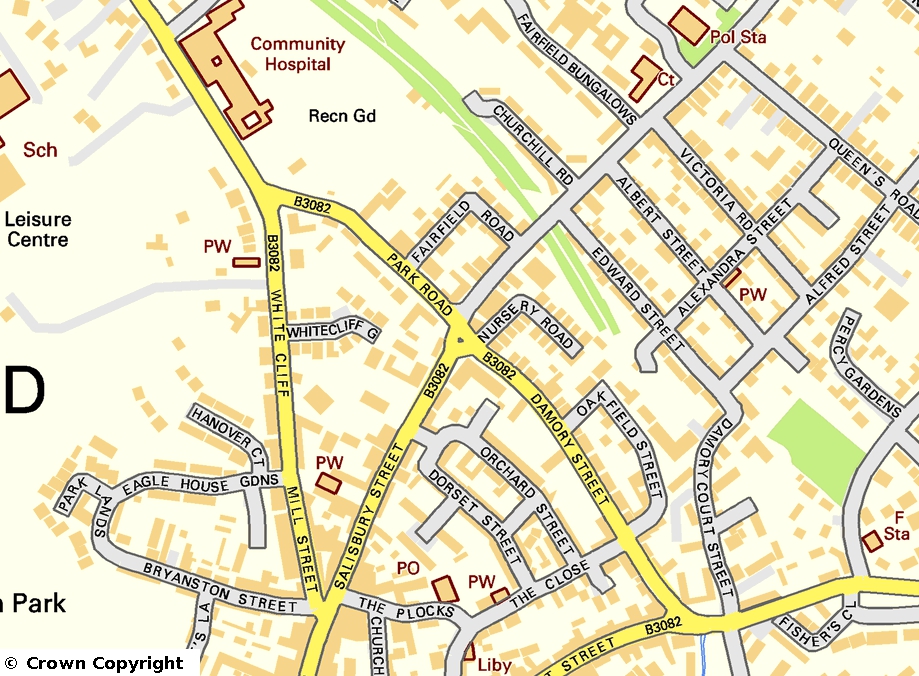
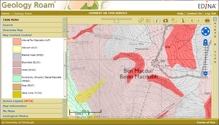
We were also interested to see how widely Geology and Historic Digimap were being used by Architecture and Planning students to improve their site surveys. We knew that OS MasterMap was an important resource, but were not aware of the amount of detail that you were putting into your reports. Here are just a few more highlights of the uses you have for Digimap:
- Analysing roost selection and foraging behaviour in bats.
- Urban forestry ecosystem management.
- 4D-GIS techniques for spatio-temporal analysis of the Fylde Coast.
- Mapping bumblebee distributions, salt marsh loss, wind farm locations, land use changes, the Roman Road network etc.
- Research into accessibility of health services and environmental determinants of health.
- Locating where an artist had made their pictures on the Pembroke coast.
At the same time as gathering information for JISC we also added in a few questions at the end of the survey about what you would like to see us concentrate on doing next. We got some very good feedback here and have recognised that there is a great demand for features such as printed maps and data to be provided in different formats. Over the coming months we will be using the survey’s findings to help us schedule improvements and additions to the service.
Once again, a huge thank you for filling in the survey, for the useful feedback and for the very kind comments about Digimap. It is great to know how important our work is to you.