We have had another very busy month and so a new batch of improvements for the Digimap services will be coming soon.
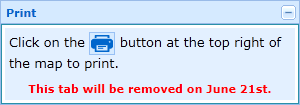
Printing in Ancient Roam
At the moment downloading data or saving screen images are the only ways to use the maps available in Historic Digimap once you have logged out. Soon you will be able to create and save high quality PDF maps from Ancient Roam for use offline. We hope you will find this a much better way to get the best quality mapping out of the service.

New Data in Digimap Roam
Since the arrival of the Ordnance Survey’s latest large scale product, VectorMap Local, we have been busy thinking of the best way to include it in the Digimap Roam. We have decided to use it to create four new representations available at two different scale levels.
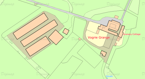
Here is a quick look at what the four different representations might look like:


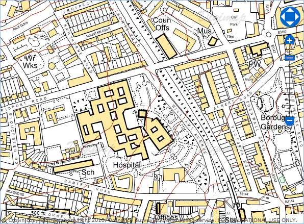
We haven’t stopped there either; we are also going to add in Line Drawing style mapping to the two most zoomed in levels; for those who like their MasterMap plain and simple, similar to planning application maps.
You will be able to select the different views from the Map Content Control Tab using a drop down list.
For more information about VectorMap Local look in the Digimap help pages as it is already available for download:
OS Products: OS VectorMap Local
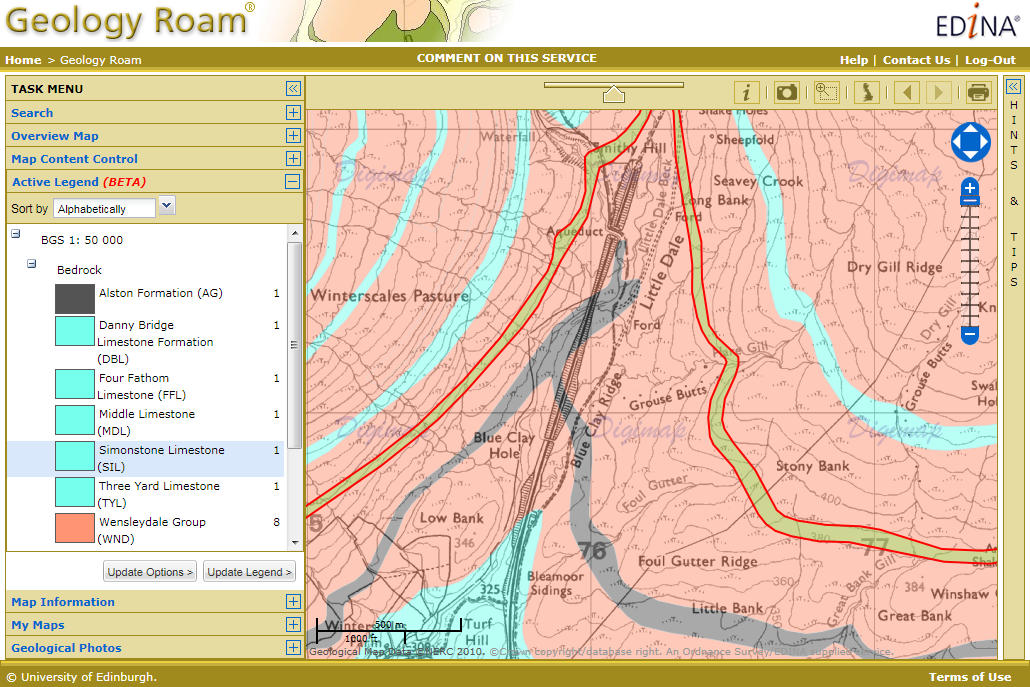
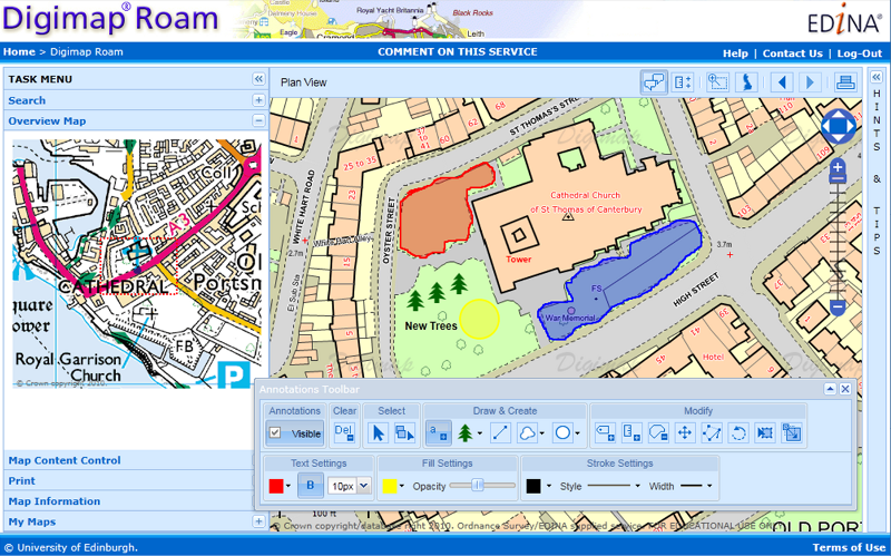
Annotation Tools in Geology Roam
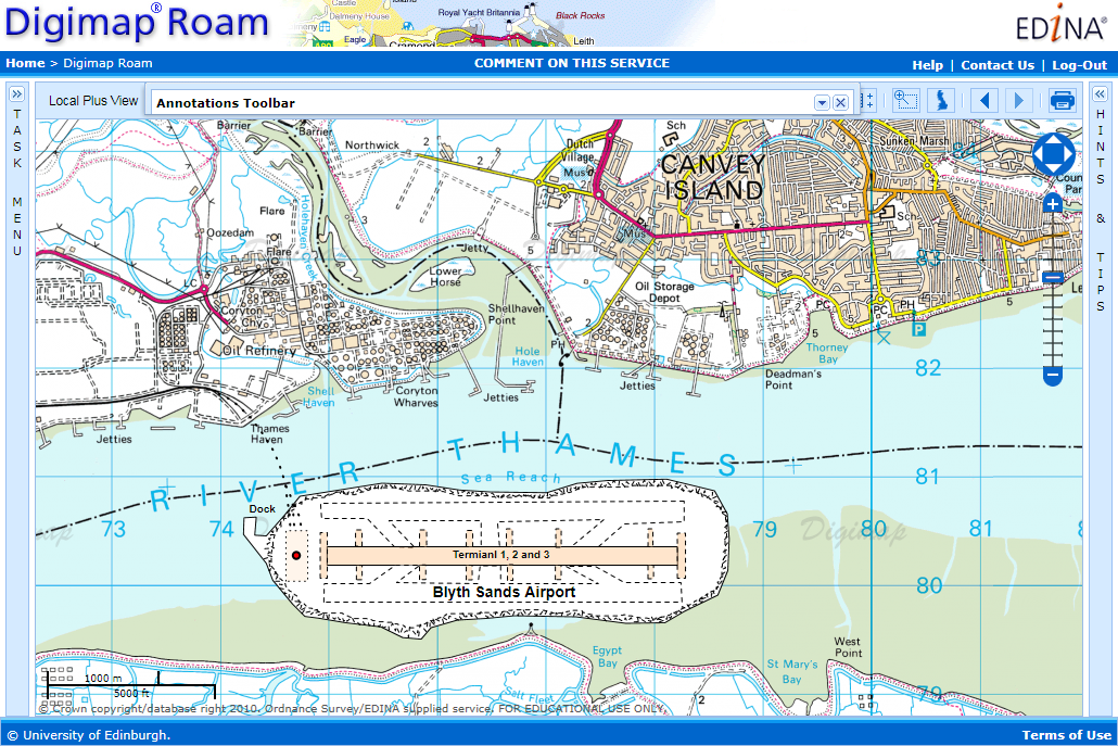
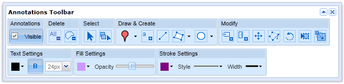
For those of you who have tried the annotation tools in Digimap Roam it will come as no surprise that we are very pleased to announce that we are now working on adding the same functionality in Geology Roam. Again the annotation tools are a first draft and will have exactly the same functionality as Digimap Roam’s tools.
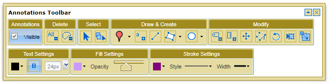
Once they are released we’d really like to hear from you about which functions you use and what else you would like added. We are already hoping to add in some Geology Mapping symbols for you to add to the maps.
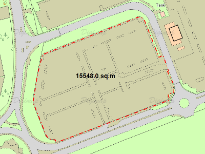
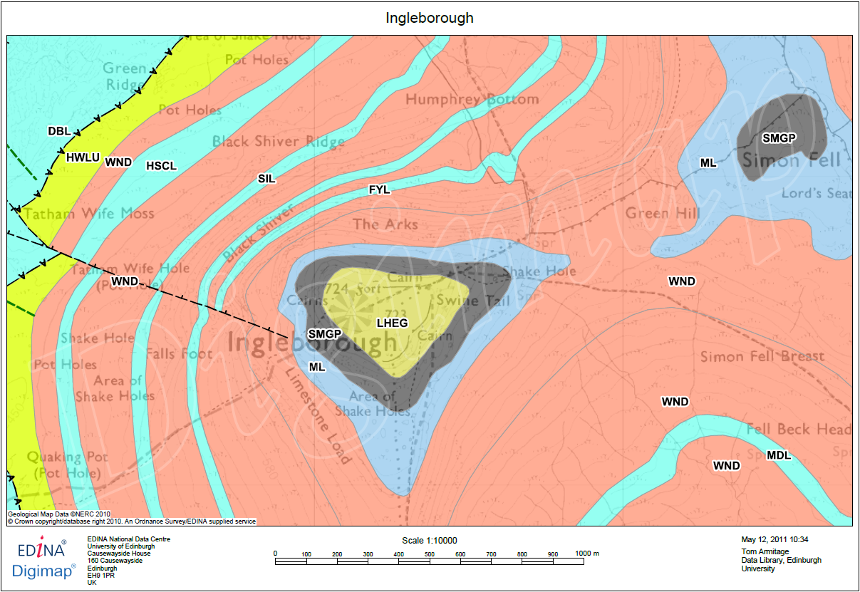
As an added bonus we are also putting in the measurement tools so you can measure areas and distances too, so you can tell how long a fault is or what area is covered by different rock types.