May was one of the busiest in terms of dataset updates in the history of Digimap. Around 20 separate datasets have been updated bringing them bang up to date with the most recent data available from the data suppliers. All the updates are listed in the tables below, broken down by the Collection and service that they can be found in.
Withdrawn Datasets (OS Collection):
- Land-Form PANORAMA
- OS Street View
- Meridian 2 (this was covered in an earlier blog post)
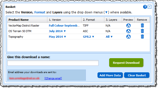
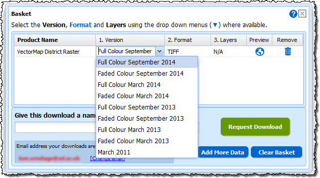
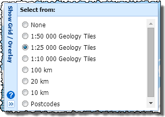
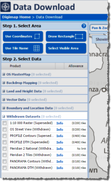
These withdrawn datasets are still available to download through the Ordnance Survey Data Download application in Digimap, but users should be aware that they are no longer updated by Ordnance Survey. Withdrawn datasets have their own separate category in the Select Data panel in OS Data Download, as shown by the image on the left hand side.
OS Roam:
| Product Name | OS Publication Date |
| 1:50,000 Colour Raster | March 2017 |
| OS Open Map – Local (vector) | April 2017 |
| VectorMap Local (vector) | April 2017 |
| VectorMap District (vector) | March 2017 |
| VectorMap Local Raster | April 2017 |
| VectorMap District Raster | March 2017 |
OS Download:
| Product Name | OS Publication Date |
| VectorMap Local Raster | April 2017 |
| VectorMap District Raster | March 2017 |
| VectorMap District (vector) | March 2017 |
| OS Open Roads | October 2016 and April 2017 |
| OS Open Map – Local (raster) | April 2017 |
| OS Open Map – Local (vector) | April 2017 |
| OS Terrain 5 DTM | April 2017 |
| OS Terrain 5 Contours | April 2017 |
| OS Open Names | April 2017 |
| VectorMap Local (vector) | April 2017 |
| Code-Point with Polygons | April 2017 |
| OS Open Rivers | April 2017 |
Geology Download:
| Product Name | BGS Publication Date |
| Borehole index | April 2017 |
The datset update pages are kept up to date with all dataset updates in the collections:
If you have any questions about the dataset updates or Digimap please contact us:
- Email: edina@ed.ac.uk