A number of datasets have been updated in the Digimap Ordnance Survey Collection in early October, bringing them up to date with the most recent versions available from Ordnance Survey.
Ordnance Survey Roam
The table below lists all the datasets that have been updated in the Digimap Ordnance Survey Roam application and includes the OS release date:
| Product Name | OS Release Date |
| 1:25,000 Colour Raster | September 2015 |
| 1:50,000 Colour Raster | September 2015 |
| OS VectorMap® District Raster | September 2015 |
Ordnance Survey Data Download
The table below lists the datasets that have been updated in the Digimap Ordnance Survey Data Download application and includes the OS release date:
| Product Name | OS Release Date |
| 1:25,000 Colour Raster | September 2015 |
| 1:50,000 Colour Raster | September 2015 |
| OS VectorMap® District | September 2015 |
| OS VectorMap® District Raster | September 2015 |
| Points of Interest | September 2015 |
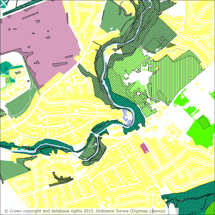
OS VectorMap® District has undergone a few significant changes with this update:
- A new ‘Functional Sites’ layer is now included which includes features from the old ‘Airport’ and ‘Public Amenity’ layers plus additional information on education facilities – school and higher, medical care, road transport and police stations.
- Land polygon(s) are no longer provided so if you wish to colour your land you can download a Shapefile from the OS website that covers the dataset extents and colour this. Full detailed instructions can be found in chapter 6 of the VectorMap District Product Guide published by OS.
- As well as these significant changes, OS have made a number of smaller changes including increased detail of buildings and improved data accuracy. You can read about all the changes in this OS blog post and also in the September 2015 Release Notes published by OS to accompany this latest version of the data.
- OS have updated the stylesheets to accommodate all these changes, the most recent versions of the stylesheets can be downloaded from the OS GitHub repository and are available for ArcGIS (for data in Shapefile format) and QGIS (for data in Shapefile and GML formats).
The data product updates help page is kept up to date with all dataset updates in the Ordnance Survey collection.
If you have any questions about the dataset updates or Digimap please contact us:
- Phone: 0131 650 3302
- Email: edina@ed.ac.uk