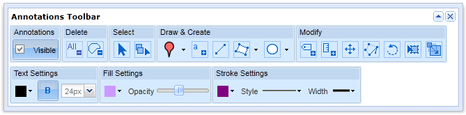
We have been having a play around with the new annotation tools in Digimap Roam here at EDINA, and have come up with a few things you might like to try.
Firstly, you will have no doubt been adding many new features to maps but have you tried taking some away?
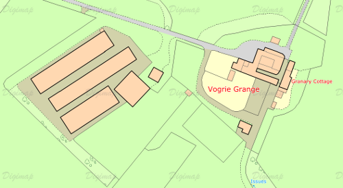
This is the original map area, a MasterMap map showing some large farm buildings to the left of the original farm house. If you had some information about how the area looked prior to their construction you could recreate a map form the past.

The map on the right shows the area after a large green polygon has been drawn over the building area. Make sure you select an appropriate line width and style for the map, and remember to set the opacity to maximum. You needn’t stop there though, you could add buildings on top of the green polygon representing those that had existed previously.
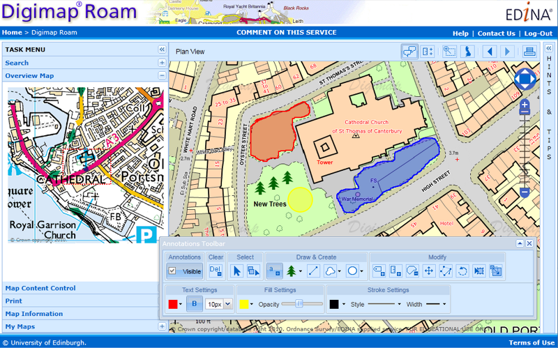
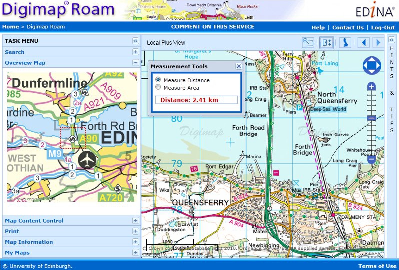
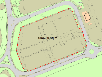
You can also use the annotation tools for some other neat tricks. The image below shows how you can trace around existing features, a car park in this case, and use the measurement tool to work out its area. By making the polygon fully transparent you can then print out your result without obscuring the original features.
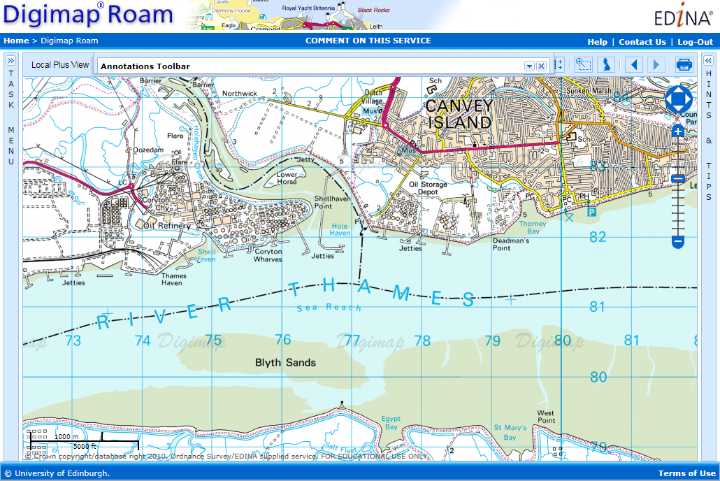
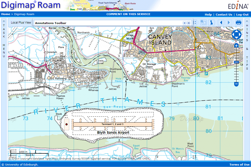
Finally you can use multiple lines and polygons, annotated with text to build up complex new features on the map. The example below shows a proposed new airport in the Thames Estuary: