Ordnance Survey isn’t the national mapping agency for the Isle of Man, however they do include it in a few of the mapping products they produce:
- OS MiniScale,
- 1:250,000 Scale Colour Raster
- Strategi,
- Land-Form PANORAMA,
- 1:50,000 Scale Colour Raster
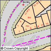
The easiest way to view the Isle of Man is to do a place name search for Douglas or anywhere else on the island in Digimap Roam. This will take you straight to the Local View, which uses the 1:50,000 Scale Colour Raster. You can zoom out from this view and see maps at each scale level, though there are only contours in the District View as there is no Meridian 2 data to provide roads and other topography.
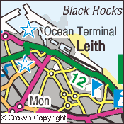
Unfortunately you cannot zoom in from the Local View as this is the most detailed mapping the Ordnance Survey have for the Isle of Man. If you need more detail then you will have to contact the Isle of Man Government:
http://www.gov.im/infocentre/maps.xml
All the Ordnance Survey mapping products mentioned above are available to download from Digimap; just go to the Data Download facility.
There is a good post on the Ordnance Survey blog which explains how all the different parts of the UK including the Isle of Man fit together:
The difference between UK, Britain and the British Isles