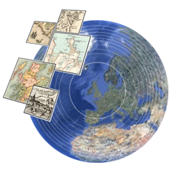
 The National Library of Scotland has just launched an exciting new application allowing their early maps of Scotland to be georeferenced and viewed in 3D as an overlay in Google Earth.
Georeferencing is quick and fun and allows historic maps to be directly compared to present day satellite imagery.
It’s a collaborative online project where anyone with access to the internet can help to georeference various historical maps from the NLS collection.
More information can be found on the NLS website.