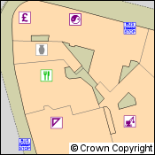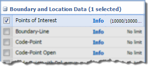
May has been a busy month for data updates in OS Data Download. Not only have we released Points of Interest, Urban Paths and MasterMap Sites Layer, but a number of other datasets have also been updated.
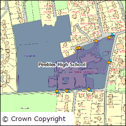
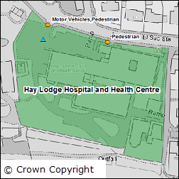
The latest version of Boundary-Line includes new datasets for Welsh Wards, Historical Counties, and Ceremonial Counties. Plus the data is now available in TAB format which is great news for MapInfo users. You can read more about these changes in this blog post.
The table below lists all the datasets that have been updated and includes the OS release date:
| Product Name | OS Release Date |
| StreetView | May 2015 |
| 1:25,000 Colour Raster | March 2015 |
| 1:50,000 Colour Raster | March 2015 |
| MasterMap Sites Layer | April 2015 |
| VectorMap Local | April 2015 |
| VectorMap Local Raster | April 2015 |
| Boundary-Line | May 2015 |
| Locator | May 2015 |
The data product updates help page is kept up to date with all dataset updates in the Ordnance Survey collection.
If you have any questions about the dataset updates or Digimap please contact us:
- Phone: 0131 650 3302
- Email: edina@ed.ac.uk