Category: Python 4 Earth Science Modelling
These blogs will explore how we can use Python to model Earth processes and geophysical datasets
The Fourier transform is a core, but abstract concept and tool. It can be viewed from several different perspectives, so I think it is helpful to see how different authors describe it. O’Reilly have a good introduction with Python code. I think that the videos linked below are helpful in understanding various properties. Hope you […]
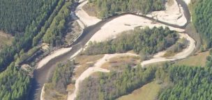
Project Summary: You will develop and utilise a seismic monitoring system to monitor the mobilisation and transport of bedload in mountain rivers to understand impacts on flood hazard and fluvial erosion rates. A full description of the project can be found on the E4 website. Project Background: Rivers that drain mountain catchments carry a bedload […]
In this post, I will just update the plots I showed in Part 1 of this blog. It has been a little difficult as I am relying on information in the public domain – and there have been few authoritative statements made directly by Cuadrilla. I have tried to highlight where I have only partial […]
In this post, I thought I would show you how to load some time series data into a Pandas DataFrame. The obvious choice of data is the School of GeoScience’s weather station, archive data is available for it on the web. The met station is positioned on the top of JCMB which has the view […]
If you do any data analysis on a computer, the first step is loading that data into the computer program you want to use to analyse it. This is frequently a frustrating business that is harder than it should be… Below I show two ways of getting data into Python using Pandas DataFrames. The first […]


Recent comments