NERC E4 PhD Studentship: Spatial-temporal modelling of hazard data
Project Summary: You will develop a new Bayesian framework for forecasting the occurrence and evolution of natural hazards by adapting a cutting-edge spatio-temporal modelling package, originally developed for ecological systems.
The full project description and details of how to apply for this as a NERC PhD can be found on the E4 website: Forecasting the spatio-temporal evolution of natural hazards
Background: In earth science, I think we have been a bit behind the curve with regard to how we model large spatial-temporal datasets – particularly ones describing distinct events. I have seen a lot of published work plots various maps with point datasets on top and then states that there is a “clear correlation” between the two – but with weak quantification of this statement. I believe that we should be doing better than this and hope this project will contribute to how we fundamentally quantify and communicate the relation between point measurements and hazard data in general.
This project will adapt cutting edge methods that have been developed to model complex ecological datasets. In ecological sciences there are many examples of point datasets which evolve in space and time, including the evolution and competition within forests and the migration of musk oxen or fish.
In this project, you will be working with a cutting edge statistical methods for modelling and forecasting the evolution of patio-temporal data called inlabru. This method is particularly exciting because it is much more efficient at running complex models than competing methods such as Markov Chain Monte Carlo – which makes it a realistic option for forecasting hazards.
In this PhD you will build on preliminary work being undertaken between GeoSciences and Mathematics at Edinburgh University and the Statistics department at the University of Glasgow to adapt these methods to model and forecast various hazard datasets. This could include earthquakes, landslides and wild-fires. The supervisory team contains experts in the development and application of inlabru as well as expertise in natural hazards. At the end of the PhD I would expect you to be competent in both these areas.
Supervisory Team and Edinburgh Environment: At Edinburgh you will be a part of both the GeoHazard research group. The supervisory team brings a range of expertise:
- Dr Mark Naylor is a physicist and statistical seismologist with expertise in natural hazards and statistical seismology.
- Prof Finn Lindgren is the Chair in Statistics at the University of Edinburgh and one of the main theoretical and software developers behind inlabru.
- Prof Janine Illian is the Chair in Statistics at the University Glasgow (from July 2019), focusing on spatio-temporal point-process methodology that is relevant in practice.
- Dr David Milodowski is a postdoctoral ecologist with extensive experience of spatio- temporal remote sensing and is developing an inlabru framework to understand fire hazard in tropical forests.
Requirements: This project would suit a statistician, mathematician, physicist, geophysicist or similar with good numeracy skills. You will also be competent in computer programming, and be keen to develop these skills further. Prior experience with natural hazard data is not a barrier for the right student.
Training: A comprehensive training programme will be provided comprising both specialist scientific training and generic transferable and professional skills. In addition, you will attend an inlabru training course and have the opportunity to take coding skills courses as required. For example, the Edinburgh Parallel Compute Centre provides training in high performance computing.
Further Reading
[1] Bakka et al. (2018), Spatial Modelling with R-INLA: A review [https://arxiv.org/pdf/1802.06350.pdf]
[2] Zuur et al, (2017) Spatial, Temporal and Spatial-Temporal Ecological Data Analysis with R-INLA, by Highland Statistics
[3] Python, A, Illian, JB, Jones-Todd, C, & Blangiardo, M (2016). A Bayesian approach to modelling fine-scale spatial dynamics of non-state terrorism: world study, 2002-2013, JRSS A, https://doi.org/10.1111/rssa.12384.
[4] Yuan, Y.; Bachl, F. E.; Lindgren, F.; Borchers, D. L.; Illian, JB; Buckland, S. T.; Rue, H.; Gerrodette, T., (2017) Point process models for spatio-temporal distance sampling data from a large-scale survey of blue whales, Annals of Applied Statistics, 11(4):2270– 2297.
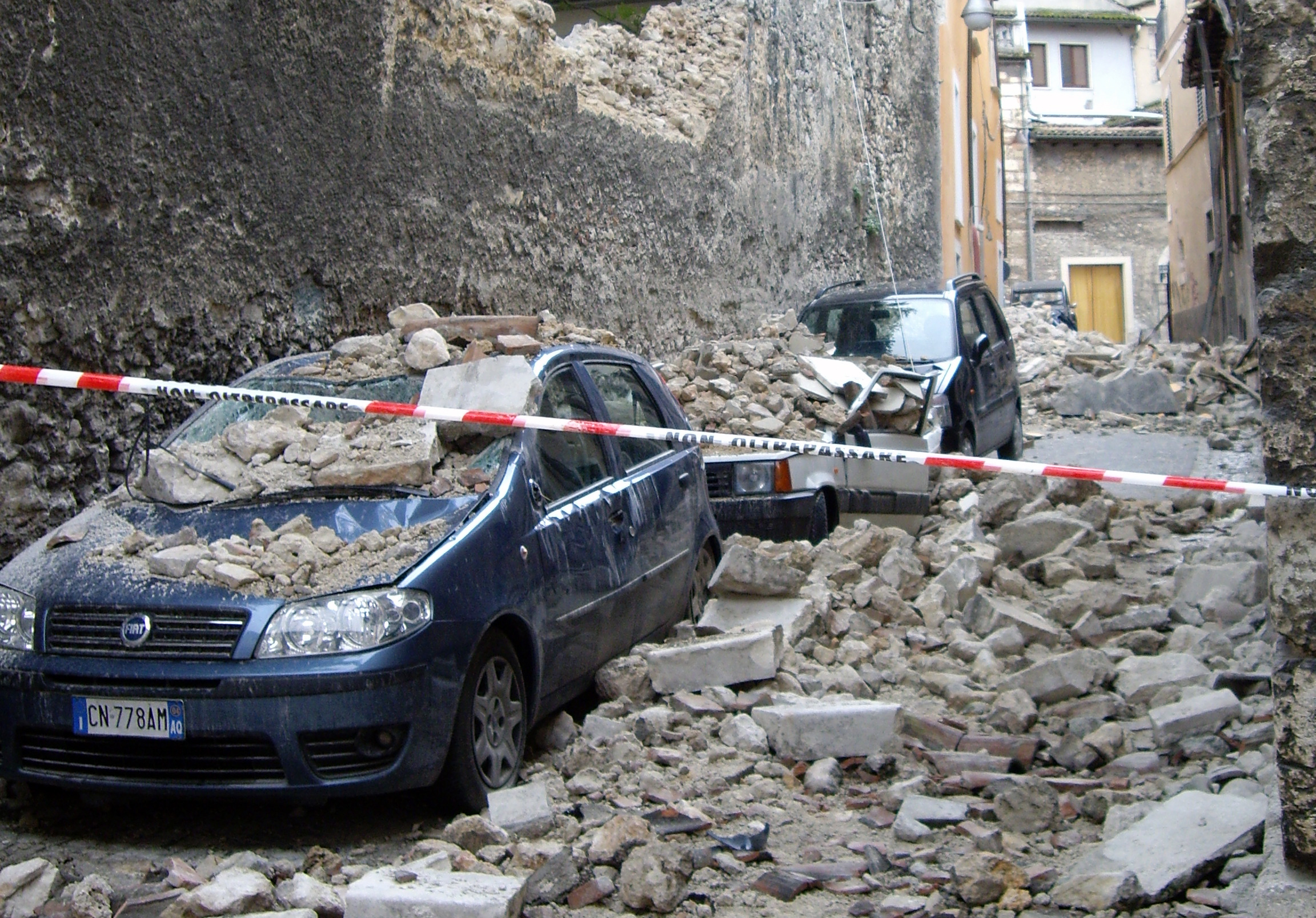
(https://commons.wikimedia.org/wiki/File:Earthquake_damage_in_L%27Aquila_(10667999425).jpg)
(https://commons.wikimedia.org/wiki/File:Earthquake_damage_in_L%27Aquila_(10667999425).jpg)


Recent comments