My stroll down to the harbour in Dunbar took me to this odd little building, used nowadays as the harbourmaster’s office.
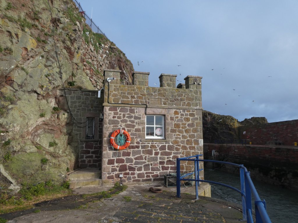
Its original purpose is hinted at by the stone plaque above the window …
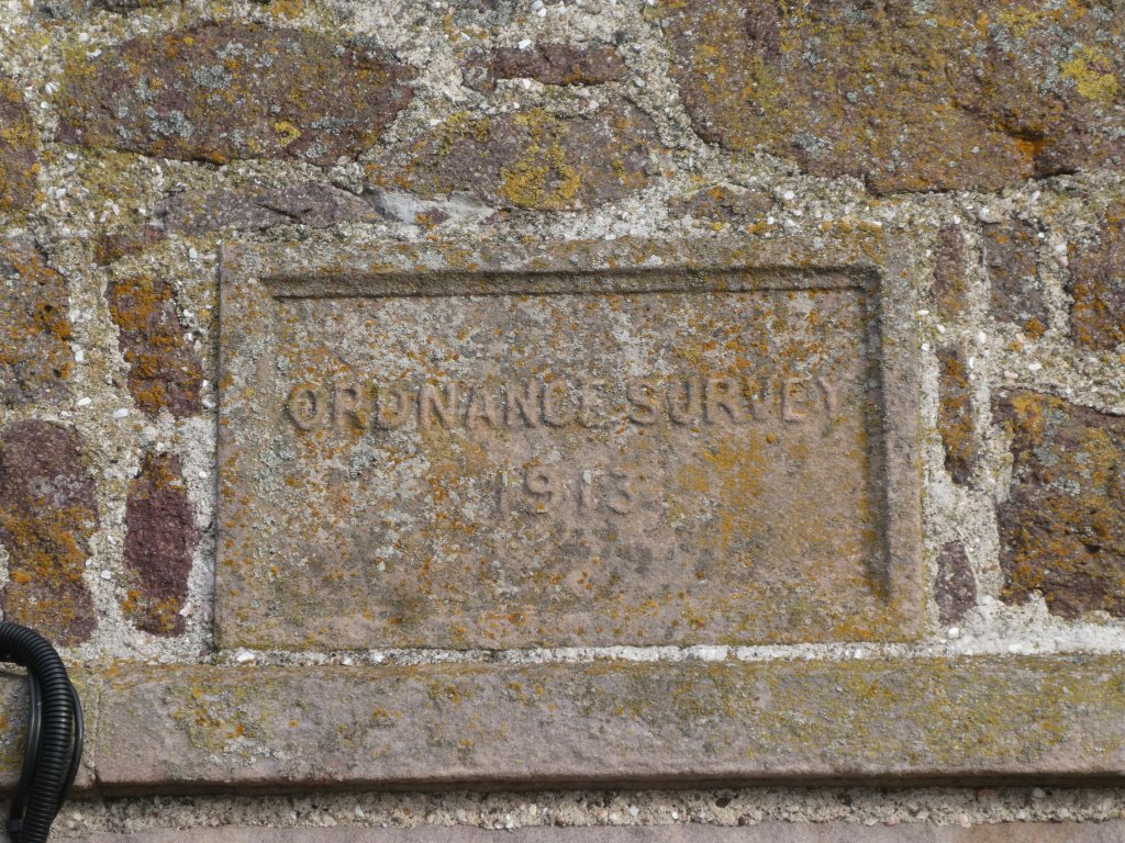
… which shows that it was built by the Ordnance Survey. Now the OS have better things to do than to build fake castle-style follies so the building presumably had some map-related purpose. It was built to house one of three new tide-gauges; the others were at Felixstowe and Newlyn. The latter has been used since as the defining location of sea level for the mapping of Britain. Neither the Dunbar nor the Felixstowe stations are in use nowadays, but you can get the data they produced from PSMSL, along with data from many other tide gauges round the world. (A direct link to the Dunbar data is here.) If you want a detailed history of tide measurements in Britain, you could start with this paper. (This assumes that, for you, it is not behind a paywall. If it is, you can access it from here.)


Thanks. It is a very long time since i sat near this OS Ti e gauge, perhaps 75 years.