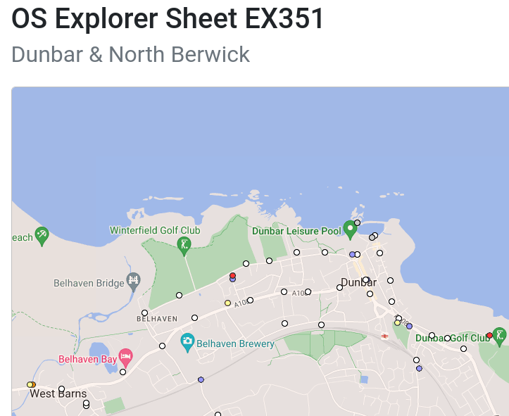
Levelling is the process of accurate measurement of the height above sea level of points in the landscape. When I am not on strike (and I have three strike days this week) we teach students to do this as a part of conducting gravity surveys. You can see me explaining the process in this video, starting at about 13 minutes. The Ordnance Survey have conducted levelling surveys across the UK at various times in their history, and have left a variety of traces of their activities in the landscape for nosy people to find. A point with its height surveyed is called a benchmark; these come in a variety of categories. You can find where they all are at https://www.bench-marks.org.uk/ ; this map shows the benchmarks in Dunbar.
The rarest kind of benchmark is called a fundamental benchmark (FBM), shown as red dots on the map. There are only 190-ish of these across Great Britain, so it is a little surprising that Dunbar has two. The more easterly one is at Dunbar Golf Club; I have walked within a few metres of it hundreds of times without noticing it.
The little concrete pillar is not the entire structure; As the engineering drawing on this webpage shows, the bolt on the top of the visible pillar is used for routine work, but there is also a more accurate bolt and a piece of polished flint in an underground chamber, used for more accurate measurements. Having noticed the existence of this FBM, I made locating the other one the object of yesterday’s strike-day stroll. It was not hard to find, but rather less of it is showing above ground level at the moment.
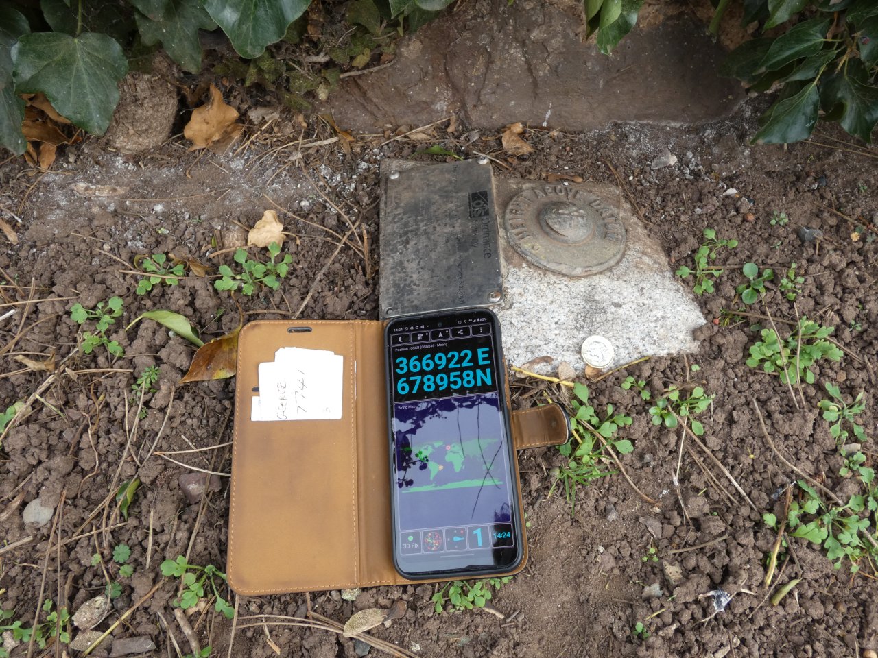
The coin for scale is a new UK pound coin; the coordinates showing on the phone are OSGB grid coordinates.
There is a hierarchy of benchmark types. Next down from the FBMs are flush brackets, shown as purple dots on the map above. I quickly found the flush bracket across the road from the FBM:
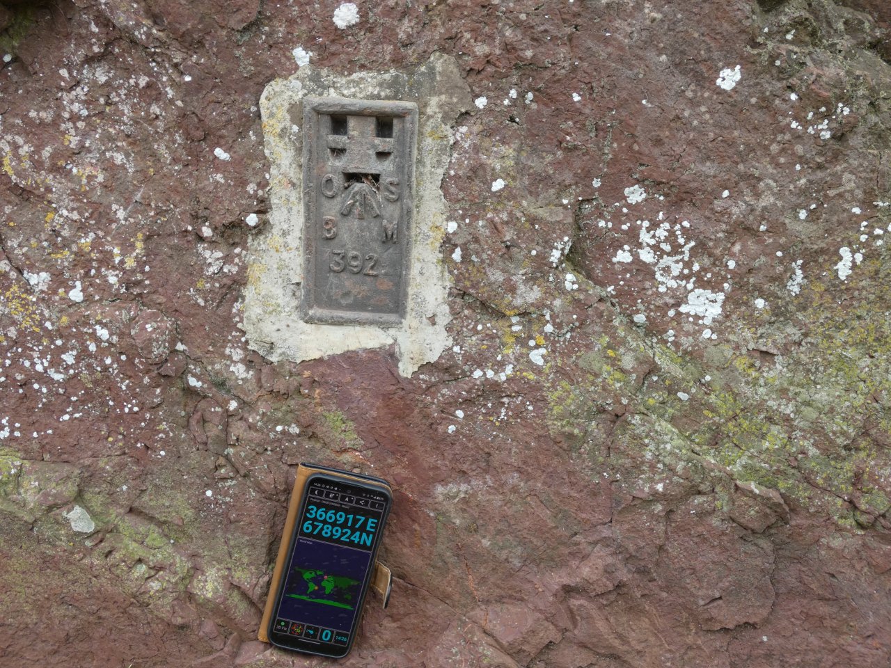
These are usually in buildings; this one is in the bedrock, where a road cuts through the basalt plug in the core of an extinct volcano. (The Geological Survey label it “East Lothian Basanite And Foiditic Plugs And Vents”.) There are plenty of flush brackets about. The familiar concrete triangulation pillars are part of a separate type of survey to determine accurate horizontal positions, but they usually have a flush bracket on the side of the pillar as well.
A third type of benchmark is a bolt, shown as grey dots on the map.
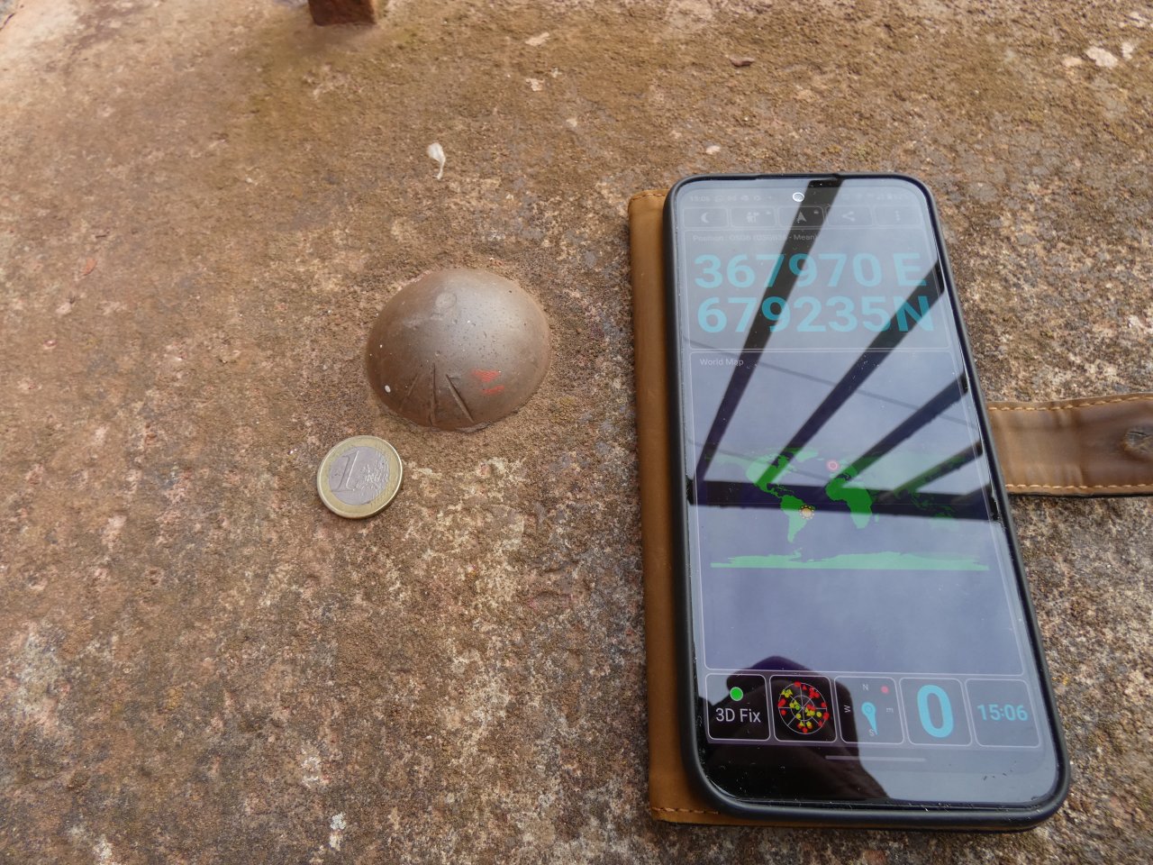
This one is tucked away behind the RNLI’s little boat house at the harbour. Oddly, the scale item that came out of my pocket is a one-Euro coin. The commonest and least highly-ranked grade of benchmark is called a cut mark (shown as white circles on the map).
There are a few other types, including projecting brackets and rivets; I have yet to find an example of these. Most types of benchmarks are no longer maintained by the OS; they are gradually vanishing from the landscape as the walls that they are mounted on are destroyed or re-built. On my walk I visited two cutmarks which were destroyed for this reason. I also looked for a bolt at the old tide station (now concreted over) and a flush bracket on the historic town house (now covered by rendering).
Postscript:
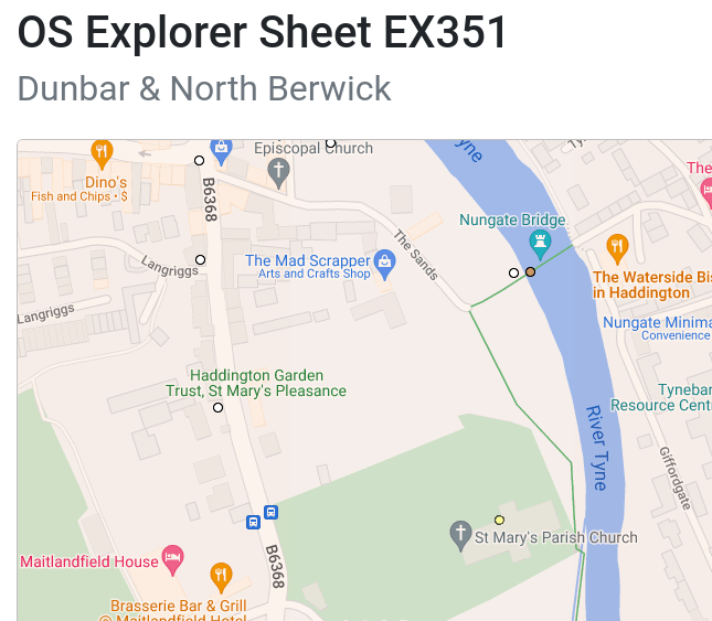
(Edited December 2023 to add further information.) I found a few more benchmarks in the vicinity of St. Mary’s Parish Church, Haddington while there for bellringing.
The one marked by a yellow dot inside the church is the most interesting.
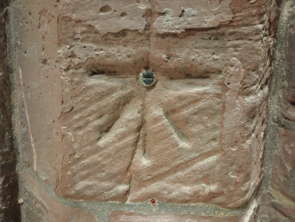
This is listed in the database as a “Published Abstract Bolt”. The “Published Abstract” bit means what it says: the Ordnance Survey published lists of benchmarks; the page featuring this mark is available online. My guess is that the abstracts include all of these bolts, but only a selection of the ordinary cutmarks. The actual “bolt” is that metal thing where the cut lines meet: the horizontal slot presumably allows a more accurate height to be determined, compared to the wider cut in the stonework.
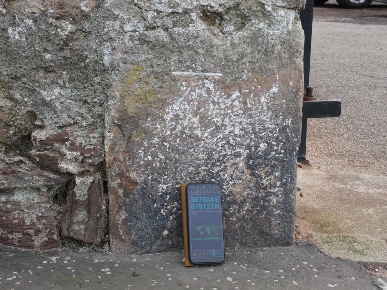
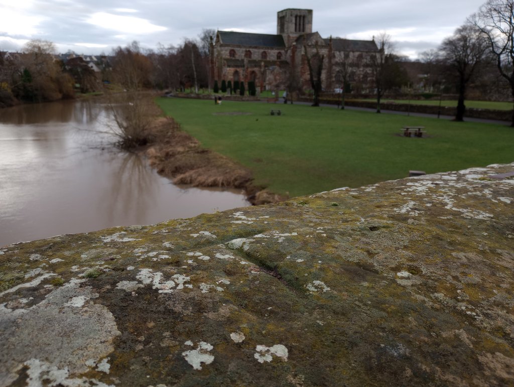
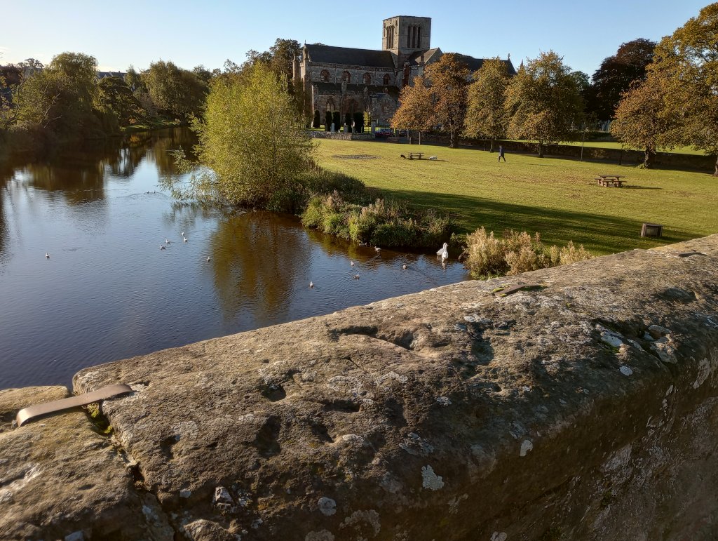
The nearby historical bridge has two benchmarks listed in the database: a regular cutmark, and one labelled a “pivot”. The regular cutmark (white dot) is easily found:
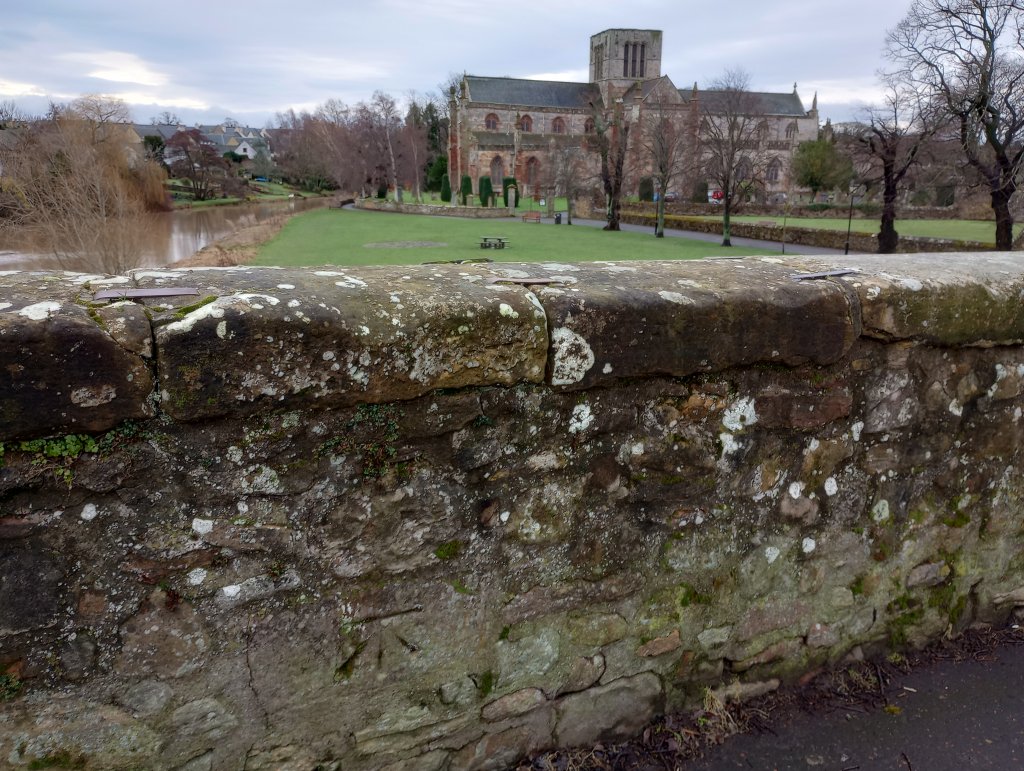
The pivot (brown dot) was harder. I found a mark of some sort on the top of the parapet about 15m east along the bridge from the cut mark. But it looks more like a letter T (or maybe a J) than any sort of benchmark.
Only on a subsequent visit, following a report from someone else that the mark was there to be found, did I manage to spot the actual mark:
The mark is the squareish dimple with the three lines radiating from it towards the camera: easily found once you know where to look, especially if the light is good.


1. What purpose does the ‘polished flint’ have in the Fundamental cavities. ?
2. I notice that the BMs you refer to as ‘Published Abstract Bolts’ seem to be most often on churches, presumably as they are less likely to be disturbed, or is there another reason ?