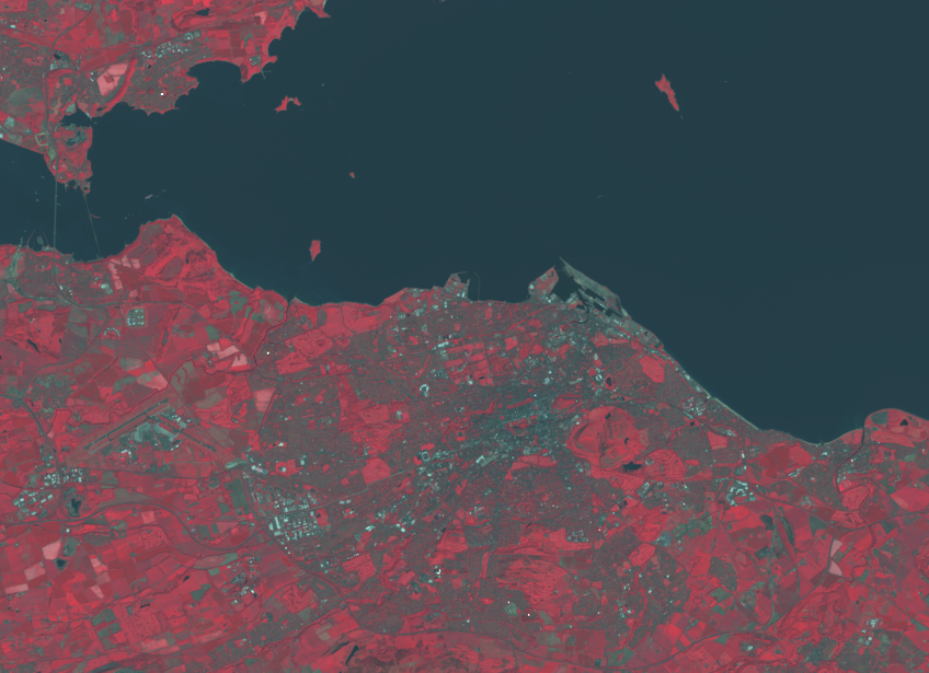
Two days ago I posted a picture of a bit of East Lothian from the brand new Landsat 8 satellite. At that time all of the available images of Edinburgh itself were obscured by cloud. Checking back today, it turns out that it was nice and sunny yesterday when the satellite flew past. So here it is: Landsat 8’s first clear view of Edinburgh, taken at 11:11 on 4 June 2013. That is an impressively quick time from space to the public If you look carefully you can see the piers and approach roads for the second Forth road bridge, just upstream of the current bridges. (WordPress’s fixed-width column means you will probably have to click on the image to get the full-size version before you can see this properly.)


One Reply to “Landsat 8: first clear view of Edinburgh”