My University Courses Part 4: Introduction to the Geological Record (2017)

I finished this course 2 years ago. Looking back, I say it was worth it. This subject introduced me to a plethora of new things including geological maps, sedimentary logs and many new field trip skills. The cherry on the top was the field trip to the Lake District. The views were nice and Alex Thomas was a great field instructor.

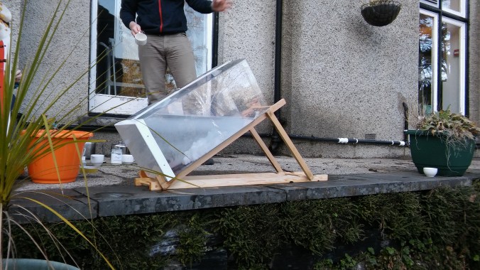
Turbidity current experiment
The Lectures:
We had two lectures per week. The lectures covered GIS, geological mapping, carbonates, the general history of geology as a science and the connection between life and geological deposits. Dr. Rachel Wood was a very memorable lecturer who shared her extensive expertise on Carbonates and Evaporates with us.
The Practicals:
We had a three hour practical every week. It was used to prepare us for the field trips and teach us how to draw geological maps. In a wider context they were standard geology practicals. We looked at maps from the field, interpreted them, looked at hand-specimens and thin-sections. For me the most interesting part was when we learned about coal. We saw all the different grades of it, got an explanation on their formation and sampled the wide range of industry using it.

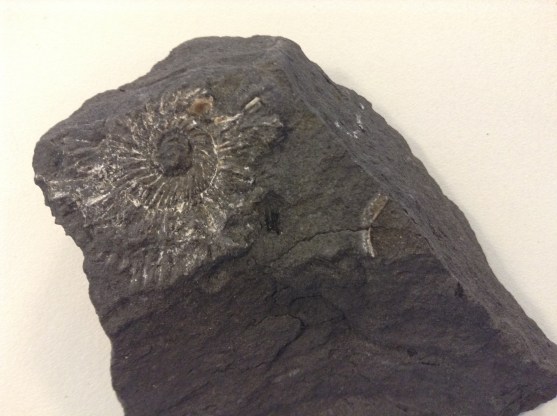
Ammonite in shale from one of the practical
The Field Trip to the Lake District:
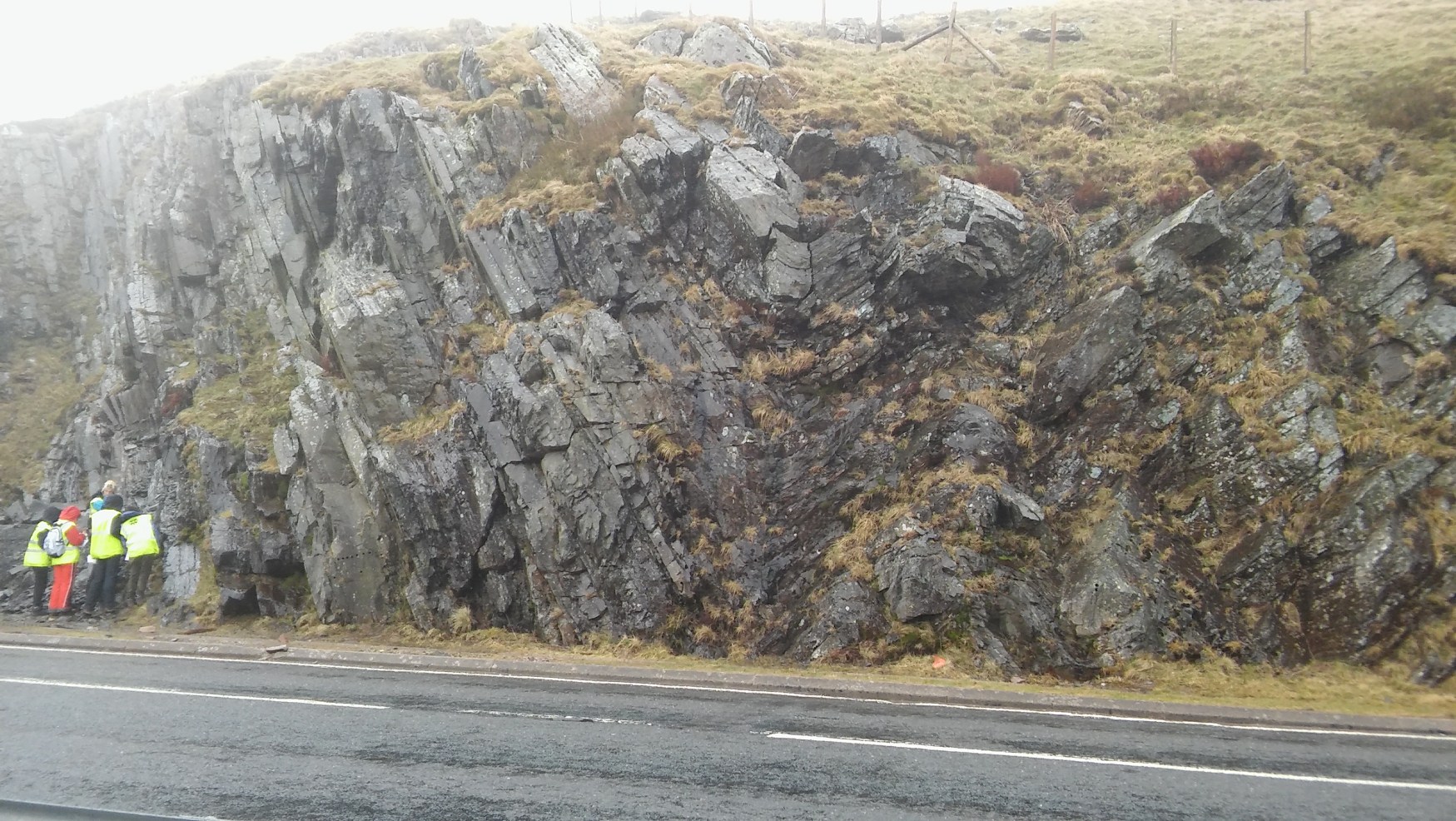
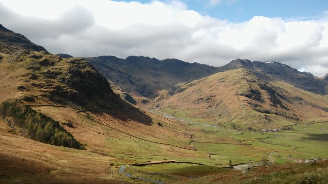
This was the crowning achievement of the course. In April we went to the Lake District in the Coniston Area. Our accommodation was set at the beautiful foot of the Old Man of Coniston Mountain. While in the Lake District we visited 10 different outcrops in the first 3 days. On day 1 we climbed mountains, sampled the igneous richness of the area and witnessed the power of metamorphism. In the morning we visited an ex-slate mine. The metamorphism preserved amazing sedimentary structures like desiccation cracks. In the afternoon we saw evidence for massive extinct volcanoes in tall ash layers. It was great to see ex-volcanic bombs and realize that the once dull Lake District was very much the ‘hot-zone’. On days 2-4 we had a look at the sedimentary formations and the structural formations in the area. We visited plenty of limestone, mudstone and shale outcrops. The highlight of the trip was our visit to Donkey Rock. Donkey Rock is well preserved deep sea sediment with prints left by underwater landslides from the upper continental shelves.
For the reminder of the trip we sank our teeth into field mapping. Our area was a valley full of abandoned slate heaps left from mining in the 19th century. We mapped units of mudstone, limestone and slate on the top. On that field trip I learnt one valuable lesson: GPS isn’t better than the map & compass and map & compass isn’t better than the GPS. They both are valuable members of the ‘team’.
On the final day we visited the old copper mines of the valley and saw some beautiful glacial striation marks.

The Lake District


Recent comments