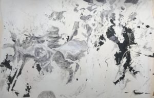
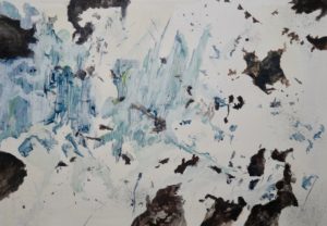
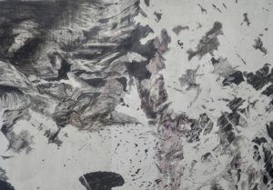
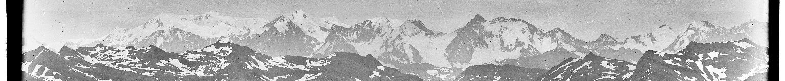
The Hidden Valley Glen Coe Author oreedPublished on 3rd July 201916th September 2019Leave a comment on The Hidden Valley Glen Coe Lidar Cloud Point map images 'The Hidden Valley', Glencoe Scotland Lat: 56.654667 Long: -4.994653 https://skfb.ly/6Ktwq Below: Series of Drawings and paintings based on 'The Hidden Valley' Lidar scans. Jul 3, 2019 The Hidden Valley Glen Coe / musings by blogadmin is licensed under a Creative Commons Attribution CC BY 3.0