Hunor Deak in Romania: Tour of the Geology Museum of Romania in Bucharest and travel around the country
Hunor Deak in Romania
In 2017 I took a geology trip around Romania! I started out in Harghita where I took a look at the local intrusion and the local volcanism. Than I visited the geology dome of the area, and I visited the local mine which has been in operation since the Roman times of 100 AD. Than I took a nice visit of Bucharest where I visited the National Museum of Geology. After which we drove around the country, around the Carpathians. It was an interesting trip!
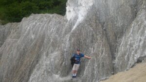
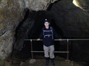
Hunor Deak at the salt mines
Here is a quick description of the salt mines:
The Praid- Basin, the so called “huge salt cellar”, lies at the encounter of the eastern edge of the Transylvanian Basin and the Görgényi Mountains and it constitutes a separate region–unit within the borders of a geographic region called “Sóvidék”.
The Transylvanian Basin was formed as a result of the continuous sinking that began at the end of the cretaceous age and the beginning of the Paleocene age while the neighboring Carpathian mountain- chain rose. A shallow continental inland sea was formed in that depression. It wasn’t connected with the surrounding oceans and seas.
At the edge of the Transylvanian Basin we can find Paleocene sediments, which lean towards the inside of the basin; further inside we can find the diapire corrugations, where the deep salt-blocks have broken through the younger sedimentary strata. In the center of the basin there is a region of wide cyclical corrugations – the so called “domes” – that have porous rocks. In the Superior Baden -, Sarmatic and Lower Pannonian ages significant natural gas – yards came about in these rocks.
The salt-belt is the most characteristic structural and morphological region of Sóvidék. The salt-belt, that lies along the Szovata-Praid-Korond line represents the edge of the volcanic plain of Mezőhavas(1100-1150m) that was suddenly broken. It lies in the 30km long depression between Bekecs (1079m) and Siklódkő (1025m).
The Praid Basin can be considered a deepened (erosion) basin if we take into consideration its origin. The diaper –tectonic phenomena had an important role in the formation of the basin. This way the appearance of the Sóháta from Praid (the salt rucks covered the younger strata of the Neogene strata) on the surface modified not only the accidence and water system of the basin, but its biographical features too. With its prominence between Harom-tető (710) and Malomhegy (623m) at the encounter of Kis-Küküllő and the Stream Korond, Sóháta caused morphological and hydrographic changes. The acne-like prominence of salt created a barrier in the dropping of the Stream Korond. The Kis-Küküllő, being bigger and more energetic, could keep up with the prominence of salt and it could gradually deepen its erosion valley. Probably it had taken along the Stream Korond too for a while through that terrace that lies between Sóháta and Köves-vápa (550m)- to the east.
In a wider sense the Praid Basin lies round the hill Sóhát, embracing Praid and the two places called Sófalva. The shape of the basin reminds of a stretched triangle with its peak pointing towards Korond in the south, and to the northwest it reaches Szováta Basin. The Praid Basin is divided from the Transylvanian Basin by the range of Szálas Firtos (1062m), Fiasmál (983m), Küsmödkő (991m) and Siklódkő (1025m). The Sóhát (Salt Back), its local name being “Sóháttya”, is in fact holding the most valuable treasure of the Praid Basin and the Szekler Sóvidék (Salt Region): the great salt yard, that has a depth of 2,7 – 3km. The horizontal salt stratum has an elliptical shape, its diameters being 1,2 and 1,4km. Vertically it looks like a huge abnormal mushroom. It is due to say that the huge salt block is one of the largest diaper rucks in Europe and its reserve could provide the continent with salt for more than a houndred years.
From the point of view of stratum studies we can say that the salt block, during its ascendance, broke through the Mio-Pliocene sediments and came to the surface in the erosion window of the Praid Basin. According to the studies of its structure and strata we can say that the salt block was once down deep under the younger strata. Its root is still 2700-3000m deep and its shape is elliptical. It the above mentioned sediments all the four classical strata of the Baden stratum are present: the lowest one is a tufa stratum originating in Dézs and globigerinae, then the upper salt and gypsum layers. On these there are the slate strata that contain radiolaria and clayey margates. Finally there is the stratum of margates that contain Spirialis. The “cap-rock” of the salt is made up of margates and slate, which contain foreign rocks too like: limestone, quartzite, gneiss, talc-clay, crystal limestone and other contemporary rocks of Tries, Jurassic and Cretan ages.
The material of the salt yard in Praid is the “halite” a halogenated mineral, that crystallizes in a rectangular system but sometimes it can have an octahedral shape. The salt in Praid has tiny crystalline granules, but it contains contamination too. After breaking it is uneven and shelly, its flaw shows a perfect square along the weakness lines. Its colour varies between milky white and dark gray and black according to the amount of contamination, Its natural colour is white, but for example the salt that contains cyanide varies between light pink and purple red. The primary macro-crystals have the most complete lattice system and they are the most transparent. The coordination number of the natrium and chlorine elements of the salt crystal is 6, so in the lattice system each Na ion is surrounded by 6 chloride ions.
The “halite” is spread in bulks (initially only the solid mineral was named halite), it is white, it has glass light and it feels oily when touching, it coloures flames into yellow. It can join other types of rocks too in series like: silvine, gypsum, dolomite, anhydrite etc., and its hardness is 2,5 according to the Mohs categorization. The mineral rock that is made up of halite is named halitite.
The compounds of the halite from Praid is: 94-98% NaCl and 2-6% clay minerals (the insoluble part). There are other secondary minerals too like: kieserite, kainite, polihalite, quartz, pirite and iron hydroxides. Kieserite, kainite and quartz can be found in the material of the halit in granes, and clay minerals can be found only in pieces smaller than 0,4mm. Talc slate and pirite represent only a smaller amount. The salt from Praid, opposite the salt from the Old Romania, contains only little amounts of Ca sulfate.
One of the most important features of the salt yard in Praid is that it contains other rocks between the salt layers like: crystal slate, quartzite, limestone, clay slate), fact that influences its quality. Salt appears in dense strata, white and dark grey layers vary rhythmically, the lines of different strata can be seen on the walls of the salt chambers.
The Transylvanian salt- and within that the salt from Praid- originates in the Lower Baden geological age (the Middle Miocene age of the new third age) 20-22 million years ago. At this time the shallow inland sea was blocked and separated from the ancient Tethys, and as a result of strong evaporation the created salt strata settled in the sinking basin. The sediments settled on this salt layer in the following geological ages and due to their pressure the salt moved towards the Transylvanian Basin just like a slowly flowing, thick liquid. Here, in the region of the diaper rucks, the salt layers became solid reacting to great forces and they headed towards the surface in huge blocks of salt. They couldn’t break up to the surface everywhere, they got stuck at different depths and they are still present in the center of salt belts as kryptodiapers.
In the area of salt mountains we can notice a vivid salt karst phenomena: in the salty areas there are smaller and bigger funnels filled with clay that are similar with the phenomena of limestone areas: dolines, water absorbing blocks, hilite. A number of dolines and blocks are still continuously forming as results of the falling in of some hollows created by underground waters. The bigger funnels are the traces of irregular mining, in certain cases the Roman salt mining in amphitheatre shape or the newer “scamp-mines” (shapeless salt holes), where the people were stealing the salt from in the times when it was banned.
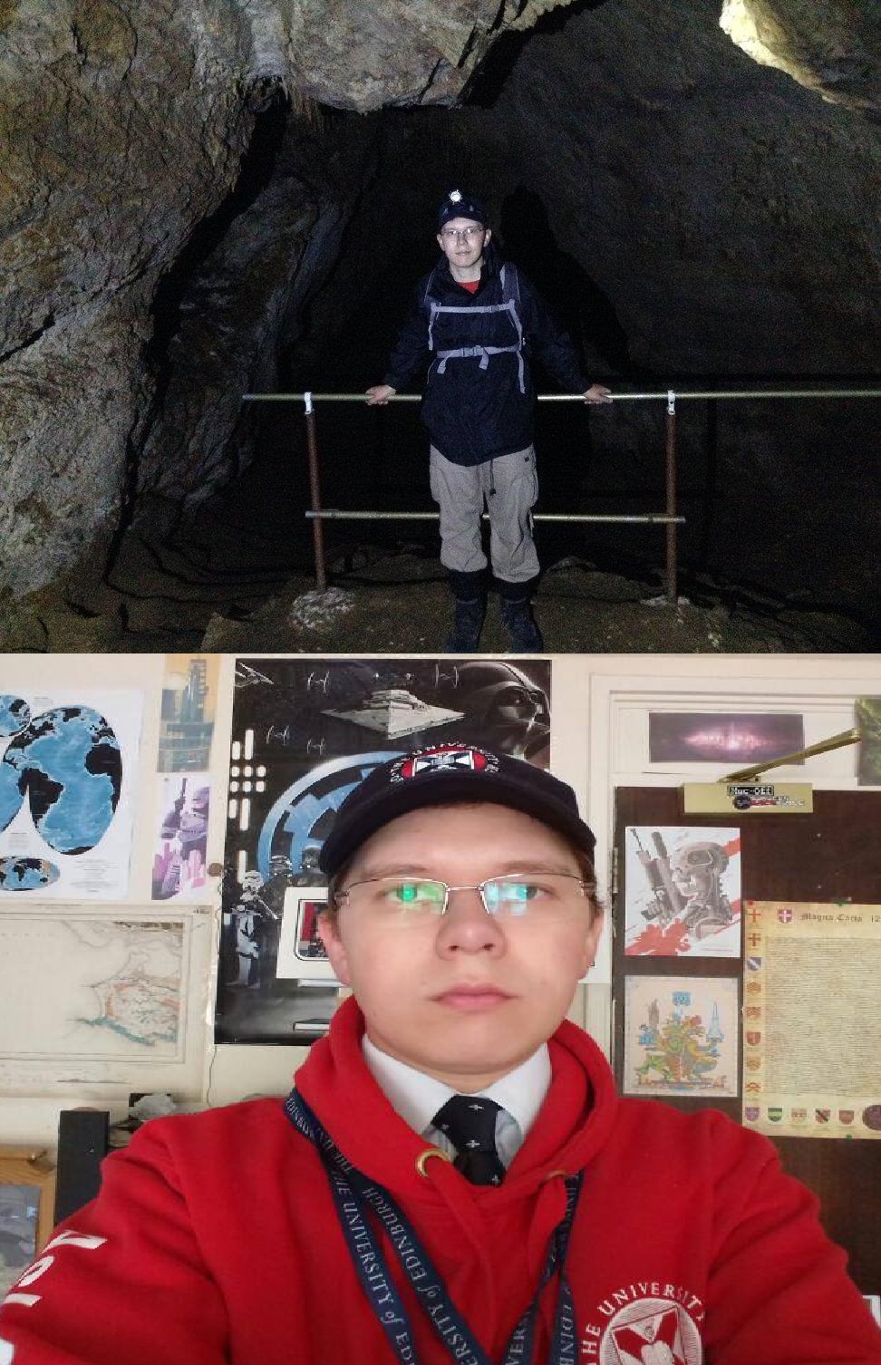
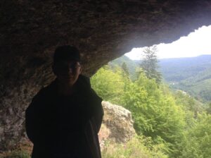
Hunor Traian Deak in the caves
The natural salt generates the final karstic phenomenon, because of the very rapid dissolving process, helped by the fissures, diaclasis and stratification planes, all access ways for infiltration water. Dissolving and the advance of the water will generate saturation, after that only the dynamic action will operate, resulted from the flow energy. Gradually, the water will leave the upper surfaces and will penetrate the underground circulation paths. This is how the exokarst from the beginning of the process is transformed in endokarst phenomenon. The wide of the cover formation in Corund area is under 6 m, and in these conditions, a part of the pluvial water arrived on the salty stratum, then by dissolving and erosion, circulation paths appeared for the infiltration water.
The characteristic flora of Sóvidék has formed very close to the salt rocks. It can also be noticed that as a result of the great amount of evaporation, especially in the summer salt flowers cover the flat parts at it presents a bleak picture of Sohata and Sószoros (Salt Strait). In Sóhomlok, Nádasfő, Fűrészoldal and between the bare cliffs the plants are not totally extinct. To this kind of places characteristic plants are: the thick, red or green Salicornea herbacea, Aster tripolium, Spergularia salina, Salsola soda, Artemisia salina, Plantago maritima, Statice gmelini (salt flower).
60 hacters of Sószoros (Salt Canyon) and Sóhát were made geological reservations in 1995 (according to law number 13/1995 made by The County Council). The “Salt strait” is in fact a valley created by the Stream Korond and it lies on the southwest part of the Sóhát (Salt Back). Here the stream cut through the mountain and it flows down surrounded by white salt rocks until its encounter with the Stream Kis-Küküllő. Those salt rocks can be seen in Salt Strait that are called salt rocks from Praid, and they were a touristic sight in the last century too. Here the earth holds the salt-fortune of a whole sea region, the salted water springs are sweating salt and even the dust on the roads is mixed with salt.
The climate of the Praid Basin is moderate continental, a bit colder than that of the Transylvanian Basin. The average temperature is 8.2 C˚, in the summer 19-20C˚ and in winter –8, -10C˚. The number of days that are warmer than 25C˚ is less than 80, the temperature fluctuation in a year is 60C˚. The warmest month is July, the amount of rainfall is quite considerable: in rainy years 800-1000mm/year, in dry years 600-700/year. The humidity of the air is relatively high, 75-80%.
(From: http://www.salinapraid.ro/home-slider)
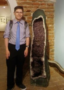
Hunor Deak in the museum


Recent comments