Research
Using Earth Observations to engender a social-ecological systems perspective on livelihoods and wellbeing in rural Africa.
Rationale: Conventional methodologies for assembling data to measure socioeconomic conditions need to be adapted for the challenges of the Anthropocene. In particular, spatio-temporal blindspots impede an inclusive understanding of multidimensional wellbeing for rural communities in the Global South. To catalyse the development of improved socioecological monitoring systems, we need to integrate tools and leverage evolving data sources that enable targeted detection of socioeconomic conditions at higher spatiotemporal resolutions than currently practised. Remote sensing datasets are a “non-traditional” data source that are primed to assemble auxiliary data that is available for the requisite spatial and temporal scales. By operationalising these datasets it will be possible to vasty improve our ability to measure and map socioeconomic indicators of wellbeing more frequently at disaggregated scales. Here is a paper and blog post by myself about how Earth observation data can be leveraged for supporting sustainable rural development. Within the paper we present a road map of where the EO discipline should be moving in support of socioeconomic data for the SDGs.
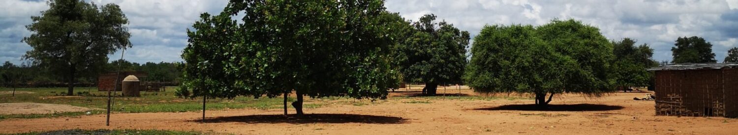
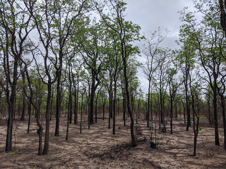
Goal: This project entails working with very high resolution (VHR) remotely sensed satellite imagery and relating this to measures of wellbeing derived from household survey datasets for rural communities in southern Mozambique. The household survey information is derived from a panel survey, assembled from two interconnected projects: Abrupt Changes in Ecosystem Services and Wellbeing in Mozambican Woodlands (ACES) and Renewable Energy for Maputo (Reforma). For the latter, I helped lead the household survey effort in May 2021.
The objectives are to investigate the role that remote sensing can play in monitoring socioeconomic conditions at fine spatio-temporal scales by: (i) examining the performance of RS metrics when predicting different measures of rural poverty; (ii) exploring the integration of disparate datasets (e.g. optical and SAR data etc.,); (iii) developing a multi-level monitoring system that incorporates cross-scalar interactions between poverty and capital endowments; and (iv) testing the ability of RS metrics to proxy poverty through time.
Funding & Partnerships: I am funded on the Edinburgh Earth and Environment E3 Doctoral Training Partnership through the Natural Environment Research Council, and I am working in partnership with the Ecosystem Services and Management Program at the International Institute for Applied Systems Analysis (IIASA).
Supervisors: I am supervised by Gary Watmough, Casey Ryan, and Janet Fisher at the University of Edinburgh, and by Steffen Fritz at IIASA
Comments are closed
Comments to this thread have been closed by the post author or by an administrator.