Hill Shading now in Digimap Roam!

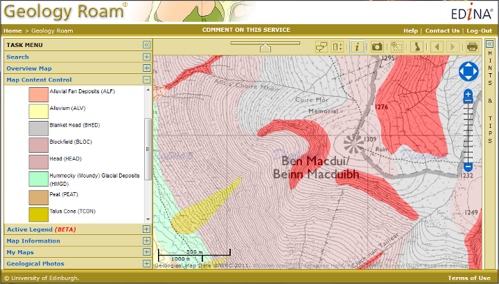
We now have hill shading in all mid and small scale zoom levels of Digimap Roam. The shading helps show the shape of the land, giving you a much better idea of the steepness of the relief and the direction of slope.

Snowdonia Map with Hill Shading
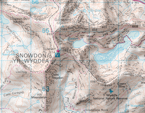
The shading is not switched on by default but you simply need to click on the Hill Shading Icon button above the map to switch it on or off.  There is also a check-box in the print interface if you want the shading on your printed maps.

We have created the Hill Shading using the Land-Form PANORAMA DTM data and we will soon be using the Land-Form PROFILE DTM data to create a similar effect on the more detailed large scale maps in Digimap Roam.

What is Digimap?

We have created a video that explains what Digimap is and what it can be used for.  Very useful for showing to people who might not see how the service could be relevant for their work.

[youtube width=”640″ height=”390″]http://www.youtube.com/watch?v=8NO8IqQohEU&hd=1[/youtube]

There is also a video about the GoGeo service which is a vital tool for anyone working with maps or Geospatial data:

[youtube width=”640″ height=”390″]http://www.youtube.com/watch?v=RtBZfv-Rjng&hd=1[/youtube]

Geology & Marine Digimap get Data Updates

Geology Digimap

Geology Roam and Geology download are now using the most up-to-date detailed geology map data:

  • DiGMapGB-50 Version 6.20, 1:50,000 scale data

Geology Data isn’t updated very often, and it is great to have the data refreshed for the new academic year. Version 6  has a few new tiles; there are now only 3 tiles of missing data in Wales, and there have also been a few tile updates elsewhere in the UK such as SC064 which has now been split into two regular sized tiles, SC064E Ben Macdui and SC064W Newtonmore.

There have also been some small changes to the attribution of the data  which is now at level 20.  The main difference is that each polygon now has a link to both the Lexicon of Named Rock Units and the Rock Classification Schema within it’s attributes. Digimap Roam already provided the key information via the Get Rock Info tool.

Marine Digimap

Marine Roam and Hydrospatial Download now benefit from updated Hydrospatial data. There are many updates to the features available and more layers area available across more tiles.