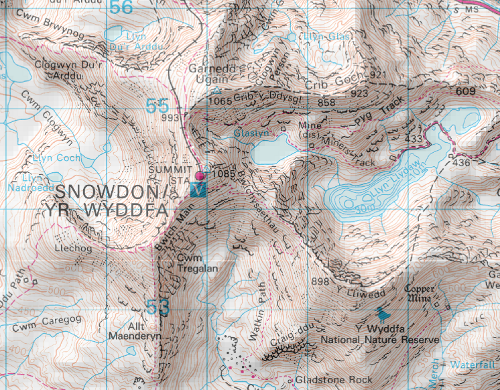
We now have hill shading in all mid and small scale zoom levels of Digimap Roam. The shading helps show the shape of the land, giving you a much better idea of the steepness of the relief and the direction of slope.
 The shading is not switched on by default but you simply need to click on the
 ![]() button above the map to switch it on or off. There is also a check-box in the print interface if you want the shading on your printed maps.
button above the map to switch it on or off. There is also a check-box in the print interface if you want the shading on your printed maps.
We have created the Hill Shading using the Land-Form PANORAMA DTM data and we will soon be using the Land-Form PROFILE DTM data to create a similar effect on the more detailed large scale maps in Digimap Roam.
