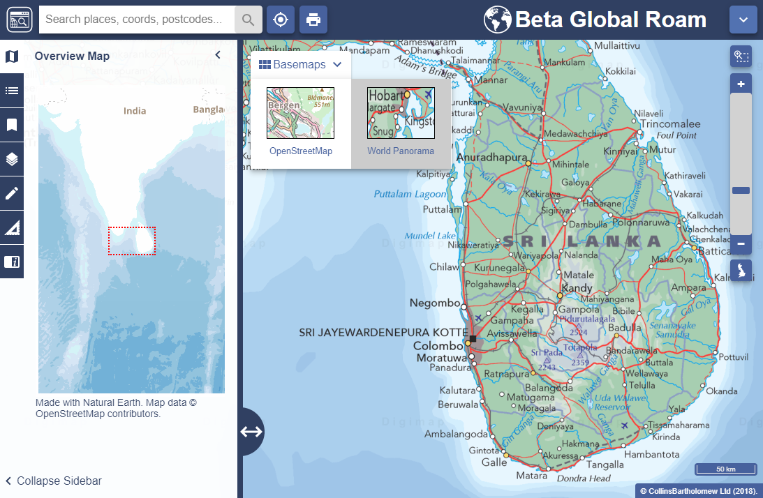
EDINA are thrilled to announce an exciting new addition to Global Digimap – Collins Bartholomew’s raster World Panorama https://www.collinsbartholomew.com/map-data-products/panorama/world-panorama/
This beautiful new addition to Global Digimap is an excellent addition providing a wonderful cartographic product ideal for small scale extents.
EDINA feel this addition, available via it’s ‘Alternate Base Map’ function is a perfect enhancement to the collection. With it’s origins in The Times Atlas, World Panorama exemplifies what is best about a mapping product where cartographic presentation is at the fore. With a geopolitical committee sitting behind the product, providing input on boundaries and territory disputes it is the epitome of an authoritative dataset. This provides excellent comparison to OpenStreetMap, a massive crowd-sourced dataset of volunteered geographic information.
Available as a raster product and still to be added to Data Download, EDINA are keen to hear if this mapping product is attractive to you as a core offering in Global Digimap. If you have any comments about this new addition, please do let us know using the details below.
 Webinar
We are running another short webinar on Global Digimap on Wednesday 9 January from 13:00-13:30 where we will showcase the new dataset as well as talk about the latest developments and additions to the service. There will also be plenty of opportunity to ask any questions you may have about the service and suggest any improvements you would like to see. Places are limited, so please register using the link below if you wish to attend:
Register for the Global Digimap Webinar, 1pm Wednesday 9 January
If you have any questions about this, please don’t hesitate to contact us:
- Email: edina@ed.ac.uk
- Phone: 0131 650 3302

