
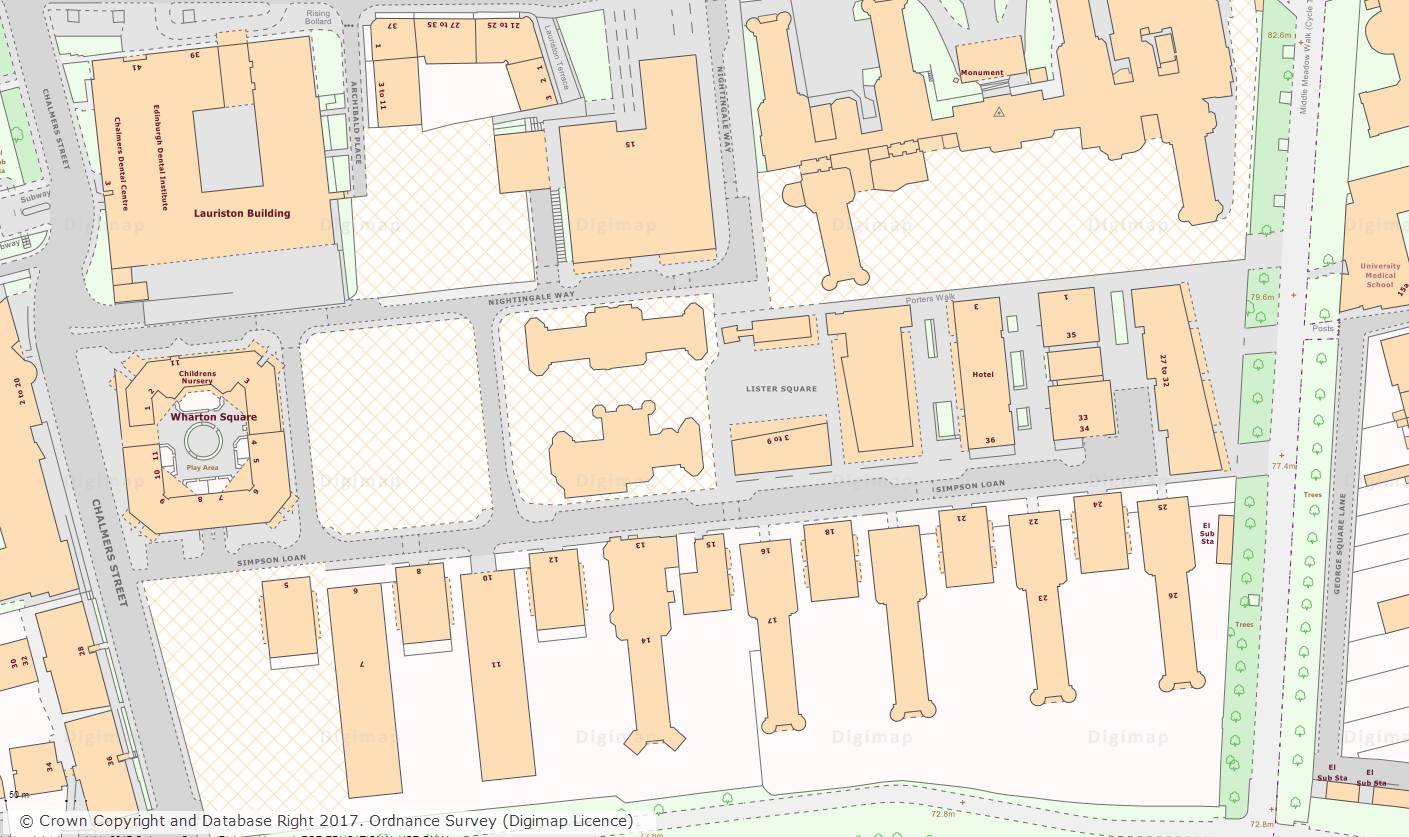
Today we have made a huge amount of archived Land-Line data available to download from Digimap. You access the data through the Data Download application in the Digimap: Ordnance Survey Collection. Land-Line was the pre-cursor to the OS MasterMap Topography Layer, and was the most detailed topographic mapping available from Ordnance Survey at the time. The archive released consists of annual snapshots of the whole of Great Britain from 1999 to 2006. This data will be vital for researchers who are undertaking longitudinal studies, examining how areas have changed over time.
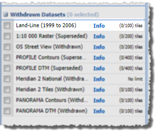
The data can be found in the Withdrawn Datasets category in the Data Download interface and is currently available in its original tiles and format.
Land-Line comes on 500m, 1km and 5km tiles depending on whether the area is Urban, Rural or Moorland. It is supplied in National Transfer Format (NTF) which was the standard format of the time. We have put together a short help page that explains how to import this data in to common GIS and CAD applications which may be of use for anyone unfamiliar with this format of data.
IMPORTANT: Between 2001 and 2006 Ordnance Survey carried it’s Positional Accuracy Improvement (PAI) programme. This means that there will be discrepancies in the positions of features on these maps and the OS MasterMap data: Read more on PAI
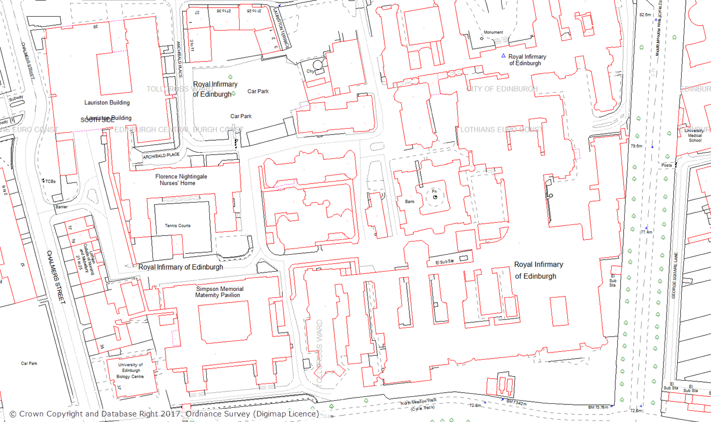
The Land-Line data that we have made available significantly bolsters the amount of detailed topographic data that is available for download from Digimap. The most detailed topographic mapping currently available from Digimap, OS MasterMap Topography Layer, is available for download going back to 2007. The addition of Land-Line data to Digimap means that users now have access to download the most detailed topographic mapping data for Great Britain going back a further eight years to 1999.
We hope you find this new addition of recent historic data useful, if you have any questions about the data please contact us:
- Email: edina@ed.ac.uk