Ordnance Survey are running a one day event for people to show off their cartography skills; anyone who is able to take up a summer internship can apply.
Jenny Brooker, Prototyping Manager at Ordnance Survey writes:
 We’ve come a long way since the days of drawing maps by hand but Cartography is still an integral part of our business, and is so much more than just making pretty maps.
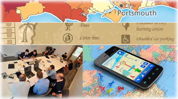
We are inviting anyone with an interest in cartographic design or data visualisation to come to Carto Hack Camp and showcase their skills by spending the day with us visualising geographic data. The winner will be offered a paid summer internship in our cartographic design team.
What Will Happen at Carto Hack Camp?
Our camp will be a day-long opportunity for anyone to visit our headquarters in Southampton, meet our Product Development team and spend the day working with them to come up with an exciting new solution for one of our customer scenarios.
There will be a choice of three different customer scenarios, designed to suit a wide range of backgrounds and abilities. The work will be similar in nature to that carried out by our cartographic design consultants. Find out more about what they do here.
You will then demo your ‘map’ to our panel of Ordnance Survey judges who will rate them and decide on the day’s winner.
Why Should I Get Involved?
It’s an opportunity for anyone with skills and an interest in cartographic design to innovate, create and collaborate with other like-minded people.
Our aim is for an enjoyable, relaxed and pressure-free day. Such an atmosphere will hopefully promote good design and if you want to take it a step further, we will be offering the hack day winner a paid summer internship in the Ordnance Survey Cartographic Design team.
Internship
As a part of the British Cartographic Society’s 50th anniversary celebrations last summer, Ordnance Survey announced that we would offer a paid summer internship for a six to nine week period during 2014 in our cartographic design team. The winner of the hack camp will be offered the opportunity to take up this internship.
Where is it?
We will be setting up camp in the business centre at our own headquarters, Explorer House on the edge of Southampton.
When is it?
Thursday 20th February 2014.
- 9:30 am – Breakfast
- 10 am – Introduction
- 1pm – Lunch.
- 5pm – Round up of the day and judging.
- 6pm – Finish
What do I Need?
You need a keen interest in cartographic design or data visualisation and preferably some relevant skills but we welcome applicants from any background. You can bring along your own equipment and software, internet access will be provided. If you don’t have your own equipment laptops can be provided on request (please email cartodesign@ordnancesurvey.co.uk with your requirements prior to the event).
How Much Does it Cost?
The event is free and we will provide complimentary food and drink. All we ask is for your time and for you to arrange your own way of getting here.
Sign Me Up…
Visit our registration page on Eventbrite:
http://www.eventbrite.co.uk/e/carto-hack-camp-tickets-10202097749
Good luck to all Digimap users who take part.