Data and tools
Remote sensing
approach: The Alos Pre-PROcessing CHain (a.k.a. approach) is a repository to aid in the pre-processing of level 1.1 data from ALOS-1 and ALOS-2 with the SNAP graph processing tool. Backscatter from the L-band ALOS PALSAR-1 and -2 RADAR sensors is strongly associated with aboveground woody biomass in African woodlands and savannas. This repository performs the pre-processing elements for producing similar maps. The gamma0 output geotiffs can be further calibrated to measure aboveground biomass.
sen1mosaic: sen1mosaic: a set of tools to aid in the production of large-scale seasonal mosaic products from Sentinel-1 data.
sen2mosaic: a set of tools to aid in the production of large-scale cloud-free seasonal mosaic products from Sentinel-2 data.
biota: a python module to download, calibrate, and generate change statistics from JAXA’s ALOS mosaic product for forest monitoring purposes.

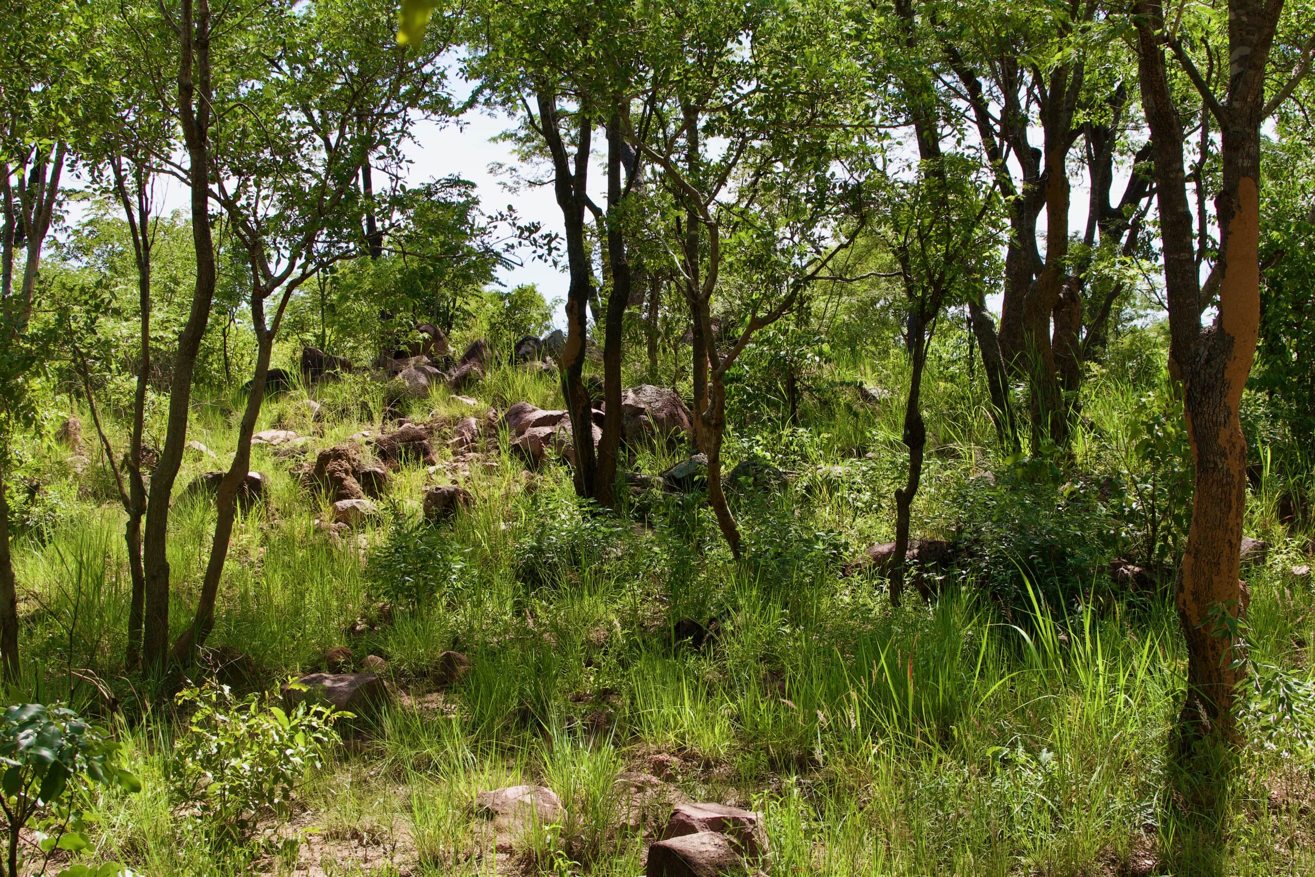
Photo by John Godlee.


Comments are closed
Comments to this thread have been closed by the post author or by an administrator.