New Zealand 2023: Part one
New Zealand 2023
Part one: Edinburgh to the Alpine Fault…

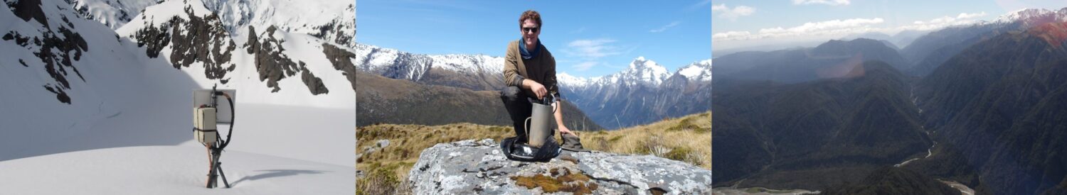
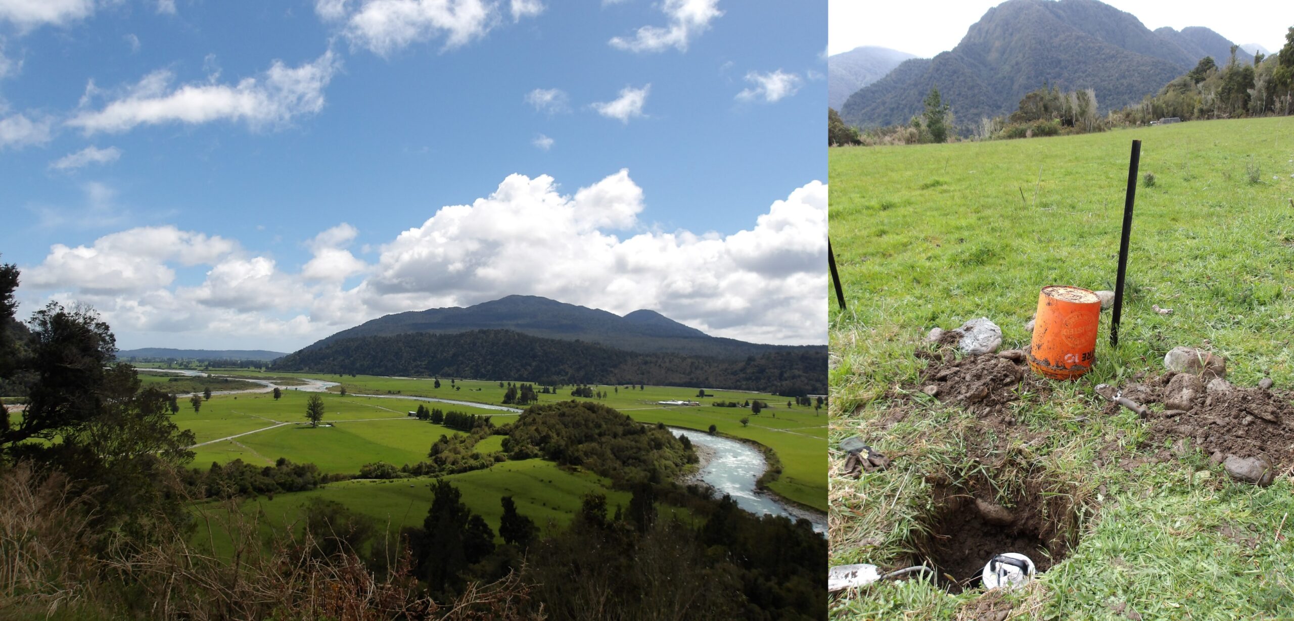
SALSA array installed along the Alpine Fault in the South Alps on the South Island, New Zealand, recording ambient noise for 2 years!
I did have plans for the week beginning 16th October, but when a Monday morning email arrives in your inbox saying “It would certainly be possible to include you in the field team. Can you arrange to be in New Zealand by the 23rd?!”, those plans go out the window!
The Southern Alps Long Skinny Array (SALSA) is a 400km-long array of 45 seismometers along the Alpine Fault in the Southern Alps, installed by a team at the Victoria University of Wellington (VUW) in 2021 and due to be demobilised two years later. I will be using data from this array during my PhD, where I will use the ambient seismic noise field to create a subsurface velocity model using ambient noise tomography. This is to prepare the the expected “Big One”, as historically the fault has produced earthquakes of about magnitude 8. I had been trying to be part of the field team to take the array back out. Luckily, it turned out that there was money in SALSA’s budget to cover travel costs, so in the week beginning the 16th I organised flights, trains, accomodation, insurance, visas, and a hefty risk assessment, in order to leave 6 days later on the 21st.

Lucky to get out of Edinburgh! Storm Babet battered the UK the weekend I set off.
The (slightly insane) outbound journey from Edinburgh took me by train to London Heathrow, then by plane via Houston and Auckland, a taxi to VUW where I met the team and boarded a ferry to the South Island, then driving over to the first field work HQ on the West Coast. Everything was rather smooth… the hairiest moment was getting out the starting blocks, as Storm Babet was battering the UK and most trains to London had been cancelled – looking out the window at the endless flooding was slightly nerve-wracking! The journey took 4 days, but waving at my family and friends through the floor was pretty cool (even if there was an iron-nickle core in the way)…
24th-25th October: Kia ora New Zealand
Touch down in Wellington, New Zealand!
Even before landing in Wellington, it was obvious why New Zealand is the perfect place for ambient noise tomography. The plane jostled back and forth over the Pacific in the strong winds that generate large wave heights along the coastline, contributing to the low frequency seismic noise field. This was made even more obvious as we were driving down the West Coast of the South Island, observing the violence of the Tasman Sea on what was only supposed to be a calm day! Wave heights of over 5m are not uncommon, and regularly exceed 10m in the winter.
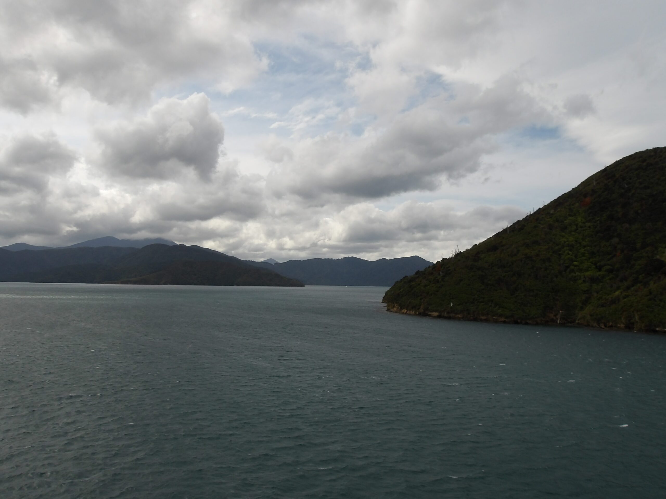
Introduction to the South Island – the Marlborough Sounds. Valleys are cut into the weak faults of the Marlborough Fault System, linking the subduction zone to the north with the Alpine Fault to the south.
We first got the ferry to the South Island from Wellington to Picton. As the ferry approaches Picton, it navigates through the Marlborough Sounds, a network of valleys being drowned by the advancing Wanganui basin to the north. It’s a dramatic introduction to the South Island, and my first sign of the Alpine Fault – the valleys have been cut into the fault network of the Marlborough Fault System, a complex dextral strike-slip group of faults that mark the transition of the Australian-Pacific plate boundary from the Hikurangi Trench on the east coast of the North Island to the Alpine Fault on the west coast of the South Island.
We stayed the night in Blenheim before collecting some supplies and driving over to our first HQ in Hokitika. We drove up the Wairau valley, which cuts into the Wairau Fault – the northern extension of the Alpine Fault after its big lazy ‘S’ bend. The valleys in the north of the South Island are a web of hidden gems, and we stopped for lunch by Lake Rotoiti in St Arnaud. It was here I was struck by how familiar yet different everything is. There were seagulls, but they were smaller and had black beaks; there was a swan, but it was black and had a red bill; the trees were species I had never seen before; the birdsong was full of exotic, colourful melodies.
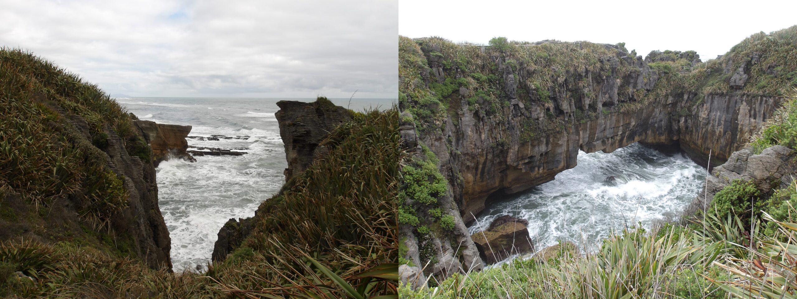
The violence of the Tasman Sea on the West Coast, taken at Punakaiki – generating high-amplitude microseisms perfect for ambient noise tomography!

Lovely stylobedding at Punakaiki.
We continued to the dramatic West Coast, where the Tasman Sea raged against the shoreline. Not great for a swim, but that’s no matter – it’s brilliant for my study! Along the coast, we stopped at Punakaiki, famous for its so-called “pancake rocks”. These limestone structures were formed by preferential weathering following compression during the Kaikōura orogeny, which caused the uplift of the Southern Alps, targeting imperfections in the calcite that aligned perpendicular to the maximum principle stress. On the first night in Hokitika, we spent some time at the dark-grey gravel beach looking for pounamu – a beautiful green stone eroded from the Dun Mountain Ophiolite Belt at the contact between metamorphosed serpentine and mafic crustal rocks. Pounamu is a taonga (treasure) in Māori culture, and has been a important part in trade for the principle tribe in the South Island, Ngāi Tahu. It is believed to pass on mana (spiritual power) when passed from one generation to another, and commonly given as a gift to family, friends, or loved ones. We didn’t find much as we kept having to run away from the Tasman Sea… and got caught out a couple of times by waves when staring at the floor!
26th-28th October: Seismometers, helicopters, and the Alpine Fault
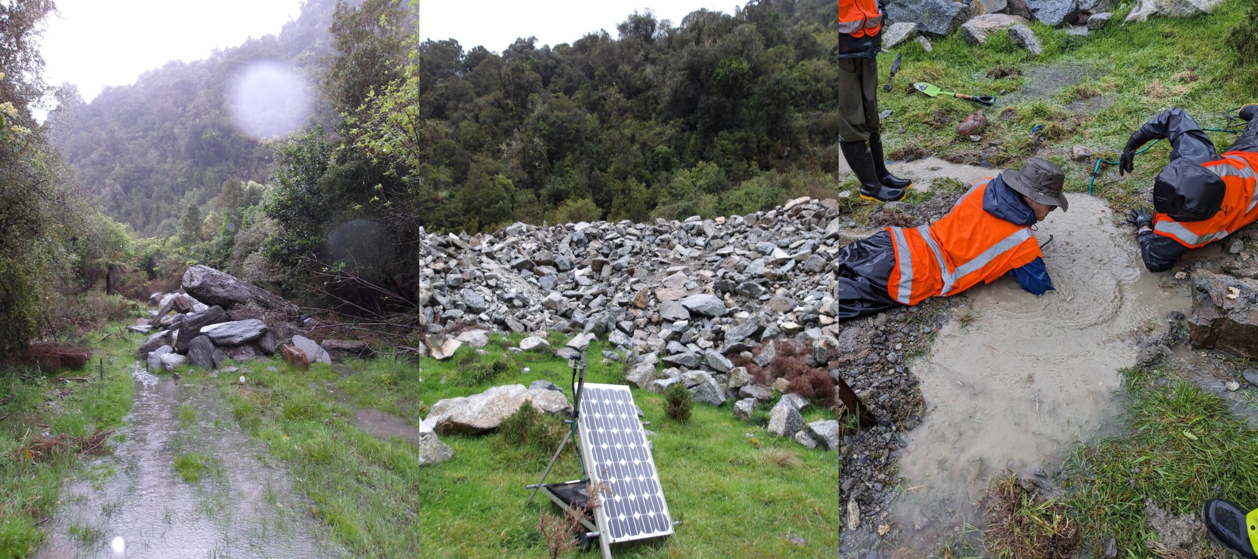
First day of servicing at TURI2. Fair to say, it was a tad wet! Unfortunately we couldn’t find the seismometer and had to abandon ship.
The first day of servicing started off slowly, as high winds made it unsafe for the vans. In the afternoon we headed off for TURI2, a station near a quarry in Turiwhate, in an opening amongst piles of granite. Thankfully the quarry noise is apparently 2-3Hz, above the microseism frequency I’m interested in, so can be filtered out to some effect. I suspect this may be vehicle noise, as quarry blasts would be impulsive and therefore broadband sources – we’ll see when I look at the data! The rains hadn’t stopped up in the hills… the standing water made digging out the seismometer impossible, and we had to give up once the waterlogged hole was deeper than arm-length. This wasn’t for lack of trying – I was on my stomach shoulder-deep in the hole we made, but we had forgotten to pack snorkeling gear!
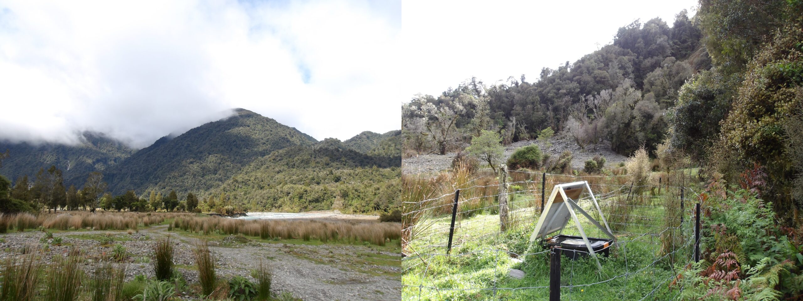
SALSA station ARAH.
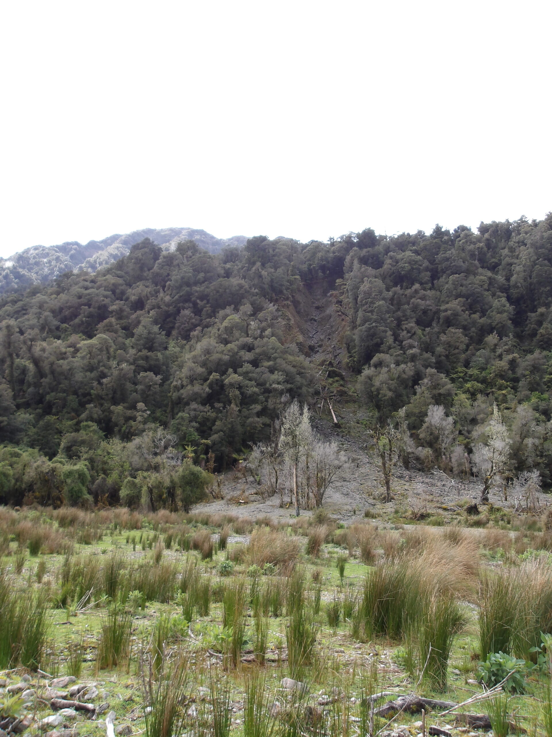
Landslide near ARAH – a common sight in the valleys of the South Island.
On the 27th October, I (successfully) pulled out my first seismometer! Station ARAH is in a valley swept out by the Arahura River, a river typical of the South Island – cloudy turquoise, fast-moving, and surrounded by white boulders and pebbles, snaking through a wide and tall green valley. There was a landslide nearby (not uncommon in the South Island). New Zealand is a dynamic place – when walking through Scotland, the rock and landscape feels ancient and full of old stories, but here it is alive! The second site was KERE, near Lake Kaniere. This one was up a steep farm track with incredible vistas over the landscape and the dairy farms, but was a pain to lug around the heavy gear from the van to the site. The seismometers are connected to a solar panel, battery, digitiser, data storage (sometimes a card in the digitiser, sometimes a separate box called a baler), and sometimes a beacon – a small white antenna which periodically communicates the state of health (GPS, power, mass number/drift, and a short trace) of the seismometer. You first need to check the health of the station, then dump the final data recorded since the last backup into storage and stop recording; the seismometer needs to be locked, and power disconnected; the sensor itself needs to be found and dug up – it’s orientation needs to be checked in the hole; the hole needs to be re-filled – everything is left as it is found. Once back, the data needs to be downloaded from the bailer. We checked the data by looking at a magnitude 5.2 earthquake that occurred on 23rd October on Hope Fault (the southern part of the Marlborough Fault System).
SALSA station KERE.

Franz-Josef, the base for the northern SALSA sites further into the Southern Alps.
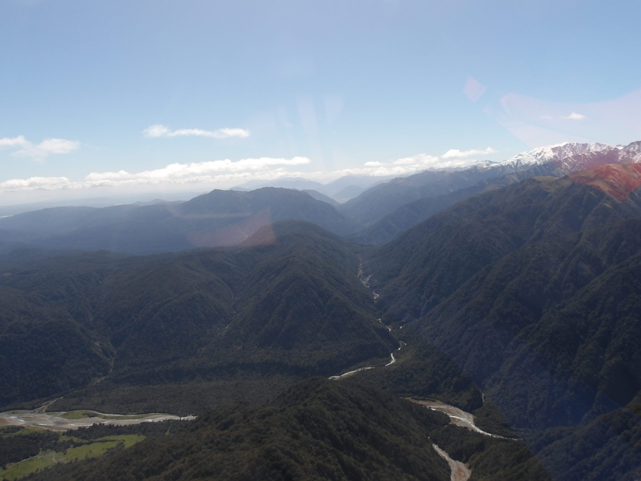
We arrived in Franz-Josef on the evening of the 27th October, our base for stations further into the northern Southern Alps. The cool thing about these sites… the only way to get to them is via helicopter! We stayed in a large converted barn, with views to the snowy mountain caps in the distance beneath which the next few stations will be demobilised. We first checked in with the pilot where the plan was for two teams to be sent out to their respective sites from the hangar in Franz-Josef – our first was the station called WAIT; then once the sites are completed the helicopter would return us to the hangar, we were to race in the vans to a bridge on the Wanganui River, whilst the pilot tended to another job, where we were to be taken to our second sites. We were to fly at 7:15.

The first helicopter trip – up to station WAIT.
Not exactly breaking news, but flying in a helicopter in the Southern Alps is really cool. The basics are: 1) always approach the helicopter from the front of the vehicle and make sure the pilot can see you; 2) don’t walk round the back of the helicopter – the rear rotors will chop you up and the exhaust cook you; 3) don’t walk uphill out of the helicopter – you will get a bad haircut; 4) when the helicopter is leaving you at the site, lie on top of all your gear so it doesn’t blow away and hold your breath so you’re not winded by the airflow; 5) always carry your personal locator beacon and overnight kit in case you find yourself stranded. I was amazed by how quick and agile the helicopter was, and guess what… you could see the Alpine Fault, clear as day! Absolutely stunning! The weak fault gauge in a 10-50m-wide zone has been eroded down, leaving a beautifully straight valley.
There it is – the Alpine Fault! Taken from the helicopter to HEAL (43.03S, 170.89E looking northeast).

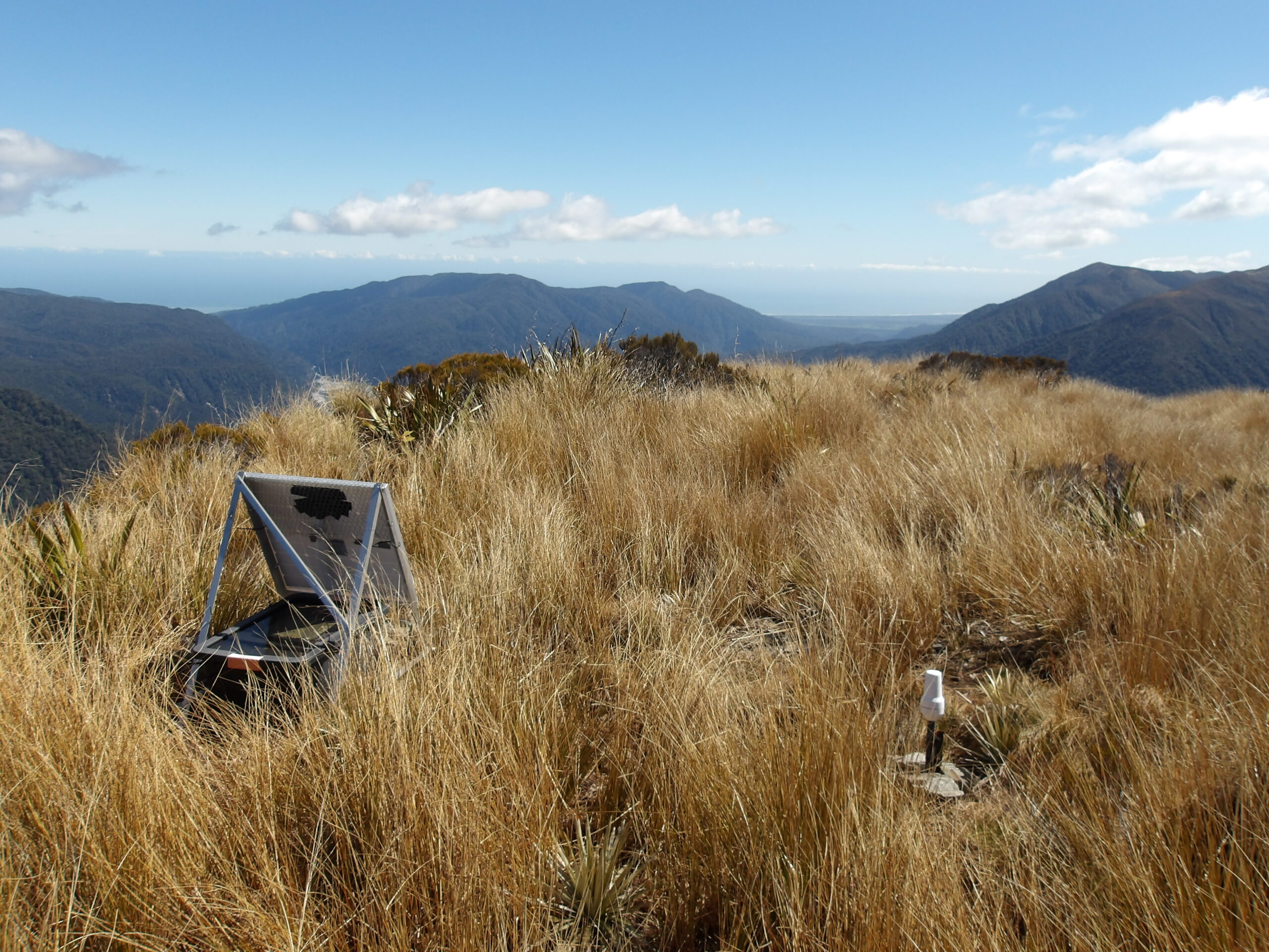
First helicopter site – WAIT. Incredible views on both sides – towards the Southern Alps and the Tasman Sea!
HEAL looking out towards the Tasman Sea.
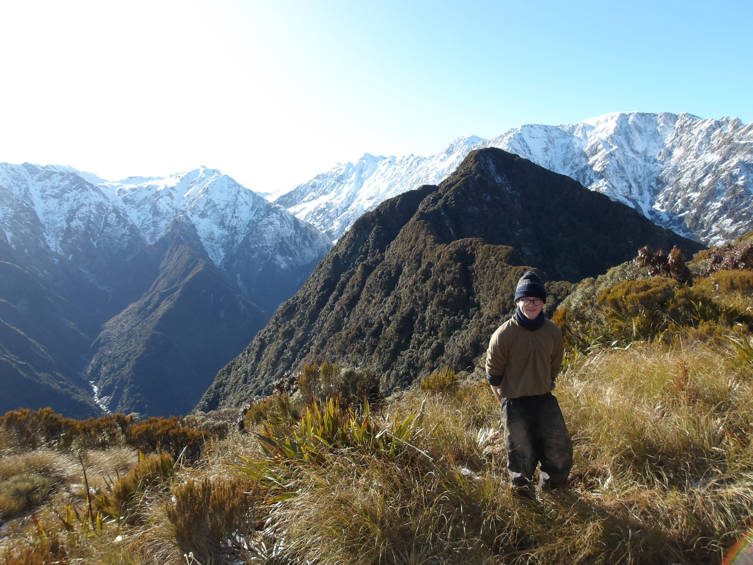
The Alpine Fault roughly marks the western edge of the Southern Alps, and can be seen from satellite imagery marking the western snowline. It runs near-parallel to the anti-clockwise rotation of the Pacific plate to the east. Towards the south the fault is at an angle to the rotation, resulting in compression across it between the Pacific and Australian plates, and leading to the rise of the Southern Alps. This compression drags up metamorphosed schists on its eastern side. The western side is characterised by old metamorphic complexes, glacial morrains, and granite intrusions. Metamorphic rocks and granites tend to stick out of morrain as huge blobs. The thick packets of moraine slope west towards the sea, and indicate the rapid erosion rates of the Southern Alps – although there has been 20km of uplift in the last 12 million years, the tallest peaks of the Southern Alps are below 4km. The vista on the western side is jaw-dropping, and the whites of breaking waves of the shoreline can still easily be seen from so far away! The second station in the day, HEAL, had such a view. Sandwiches taste even better with a view, however not so much when sat near a pile of deer guts left by hunters, which were heating up slowly in the high-UV sunshine over New Zealand. Deer aren’t originally native to New Zealand, so hunters are allowed to shoot them for conservation reasons. I’d like to point out that the most of the hunters aren’t originally native to New Zealand either – thank goodness for them that deer don’t know how to produce firearms or have opposable thumbs!
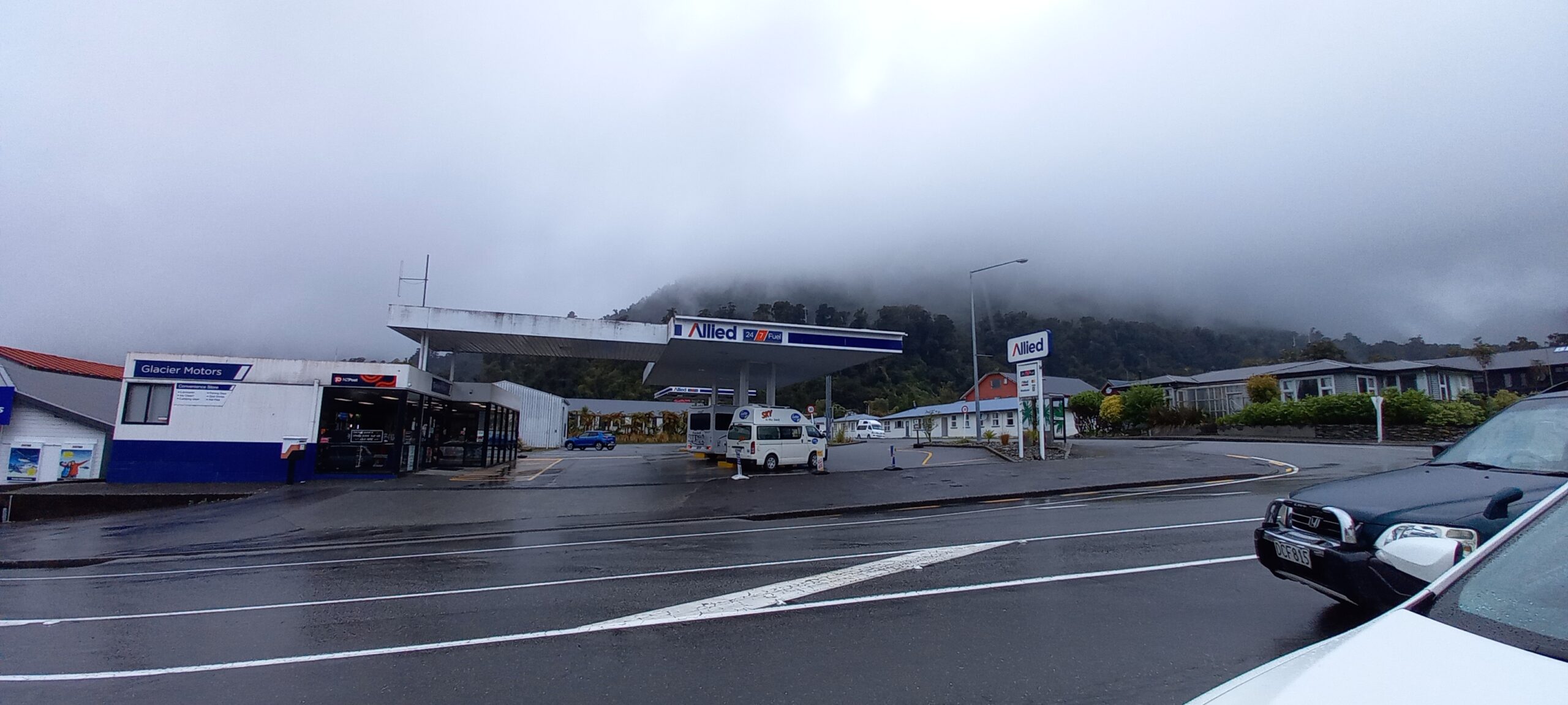
Petrol station in Franz-Josef. It is point (0, 0) on the maps we were using… and is sat right on the fault line!
There are little kinks in the fault, which result in compressive zones if the kink steps to the left. As we were driving over a bump in the road in Franz-Josef, it was pointed out to me that we were exactly on the fault line, in one of these small kinks… what was slightly concerning was the fuel tank of the local gas station sat on top! The last great earthquake (“great” meaning over moment magnitude/Mw 8) was in 1717 – a Mw 8.1. The next great earthquake on the Alpine Fault is predicted to occur in the next 50 years with probability 75%. It will be the biggest since European settlement in the region.