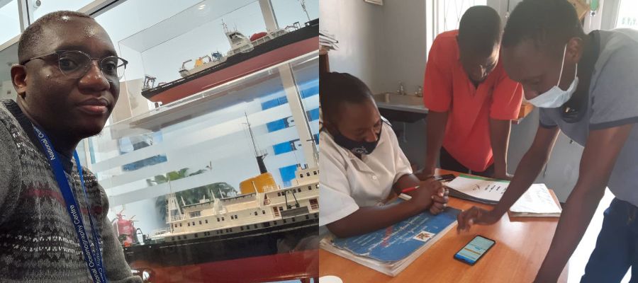
Academic Journey – From MSc Geographical Information Science to PhD

Summary
Reason, an MSc Geographical Information Science alumnus, shares his journey from lecturing in Zimbabwe to researching poverty mapping in his PhD, applying earth observation and machine learning to real-world challenges.
After completing my MSc in Geographical Information Science (GIS) ten years ago, I embarked on an academic career as a lecturer at two universities in Zimbabwe, and had the privilege of teaching undergraduate courses in GIS and Earth Observation. This role not only allowed me to share my knowledge but also challenged me to apply the advanced GIS skills I acquired during the master’s programme in a real-world academic setting.
One of my key contributions during this period was leading a curriculum redesign at one of the universities. The goal was to align our course offerings with modern trends in geomatics, making them more relevant to the specific needs of Zimbabwe. This endeavour required a deep understanding of both the academic principles of GIS and the practical demands of the local market, ensuring that our students were well-prepared to meet contemporary challenges.

It was while teaching that I also ventured into research, working as a spatial data scientist.
My projects primarily focused on exploring the health impacts of the natural and social environments on pregnant women in Africa. This role provided my first opportunity to apply my remote sensing knowledge and Python programming skills outside an academic setting.
I spearheaded the development of Python scripts to automate the extraction of environmental exposure data from satellite remote sensing datasets. These environmental data would subsequently be linked with the geolocations of pregnant women, assessing their exposure over time and space. Our objective was to understand how these environmental factors could influence maternal health outcomes such as low birth weight and preeclampsia.
This hands-on experience with GIS applications in public health research triggered my decision to delve deeper into the field, as I became increasingly interested in the potential of Geoinformation and earth observation to make significant contributions to different kinds of studies related to human welfare.
I now find myself back in the School of Geosciences where I am pursuing a PhD focused on poverty mapping using earth observation data and machine learning techniques. The skills in data analysis, problem-solving, and project management that I developed during my tenure as a lecturer and data scientist are now foundational elements of my PhD studies. Reflecting on the past decade, the journey from an MSc in Geographical Information Science to a PhD has been both challenging and immensely rewarding.
______________________________________
Learn more about our MSc in Geographical Information Science
Geographical Information Science (GIS) provides powerful solutions to real-world problems using the world’s most advanced technologies. Our MSc is one of the largest masters programmes in GIS in the world.
On this MSc, you will gain critical theoretical knowledge, develop strong practical skills and undertake supervised independent research, all under the guidance of our internationally recognised staff.
MSc Geographical Information Science
Interested in studying a Research Masters or PhD at the School of GeoSciences?
We offer a suite of research programmes in Masters by Research(MScR) and doctorates (PhD) across the physical and social sciences, and humanities.
Learn more about our Research Masters and PhD programmes


