
Digimap are running a free webinar, on Wednesday 15th March between 13:00 – 13:30pm.
The webinar is likely to be of interest to architecture staff and students, who use detailed Ordnance Survey urban map data in AutoCAD. We will:
- show you how to download Ordnance Survey map data from Digimap
- demonstrate AutoCAD and:
- Discuss issues relating to the use of the two most popular detailed topographic data products, OS MasterMap and VectorMap Local
- Give tips on the use of Building Heights data for OS MasterMap.
Registration is required – please note that spaces are limited, so it’s advisable to register early.
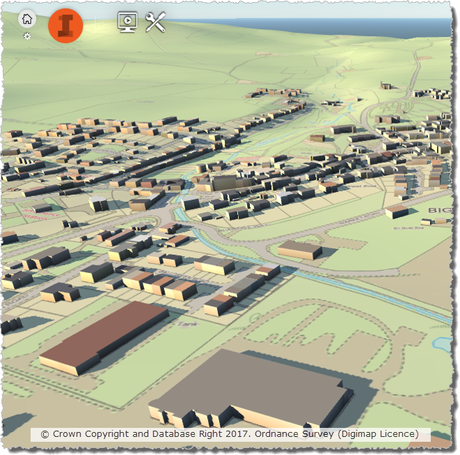
Digimap Webinar: Urban map data in CAD, 15th March 13:00 – 13:30 / by ecls is licensed under a Creative Commons Attribution CC BY 3.0