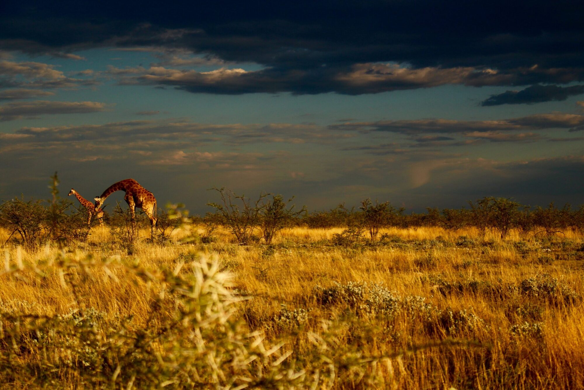
Savanna, woodland, thicket, and dry forest vegetation covers the largest land area in the tropics (Olson et al., 2001; Pennington et al., 2018). Yet these ecosystems are chronically understudied (Sunderland et al., 2015) despite the significant environmental, economic, and cultural value they provide to the hundreds of millions of people who live in and around them (Parr et al., 2014). In southern Africa alone, ecosystem services from savanna woodlands support the livelihoods of 100 million rural and 50 million urban people and contribute $9 ± 2 billion yr−1 to rural livelihoods (Ryan et al., 2016). Additionally, these ecosystems are biodiverse and home to majority of Earth’s remaining megafauna, which require large home ranges and may be especially impacted by changes to the landscape (Cardillo et al., 2005). Understanding how fragmentation impacts these systems and the services they provide is vital, but studies of this nature are limited. The absence of these data makes it extremely difficult to predict how these ecosystems will respond to continued land use and climate change.
This project aims to address this major knowledge gap by defining what fragmentation means within naturally patchy savannas (available here) and then creating a workflow to quantify fragmentation and connectivity using satellite remote sensing. This workflow will be used to assess and quantify fragmentation across African savannas.
Supervisors: Casey Ryan, Kate Parr, and Mahesh Sankaran