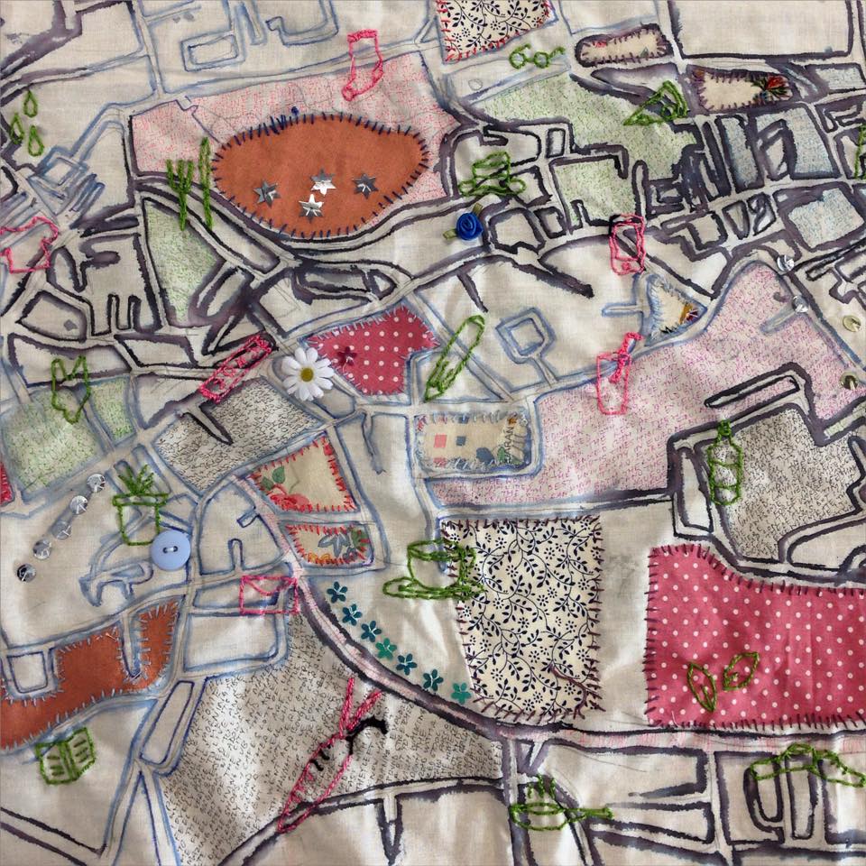
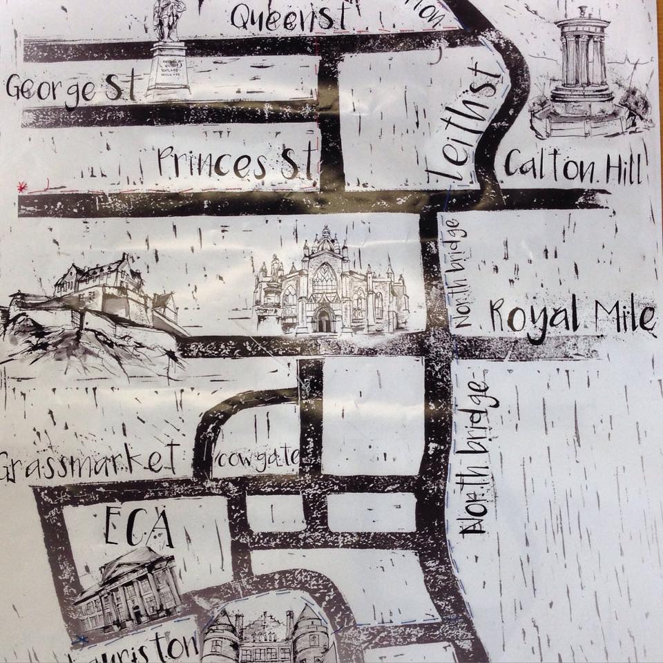
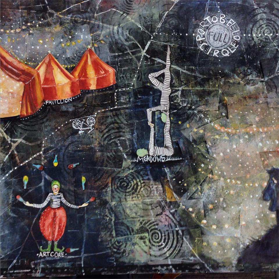
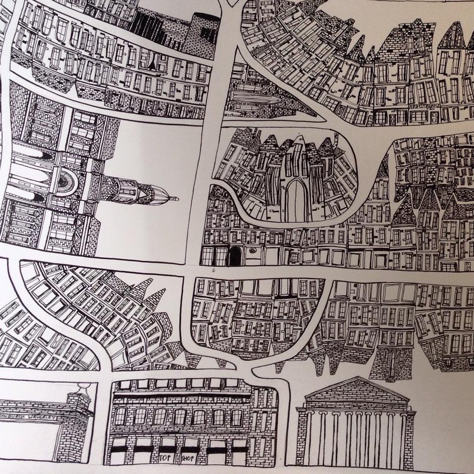
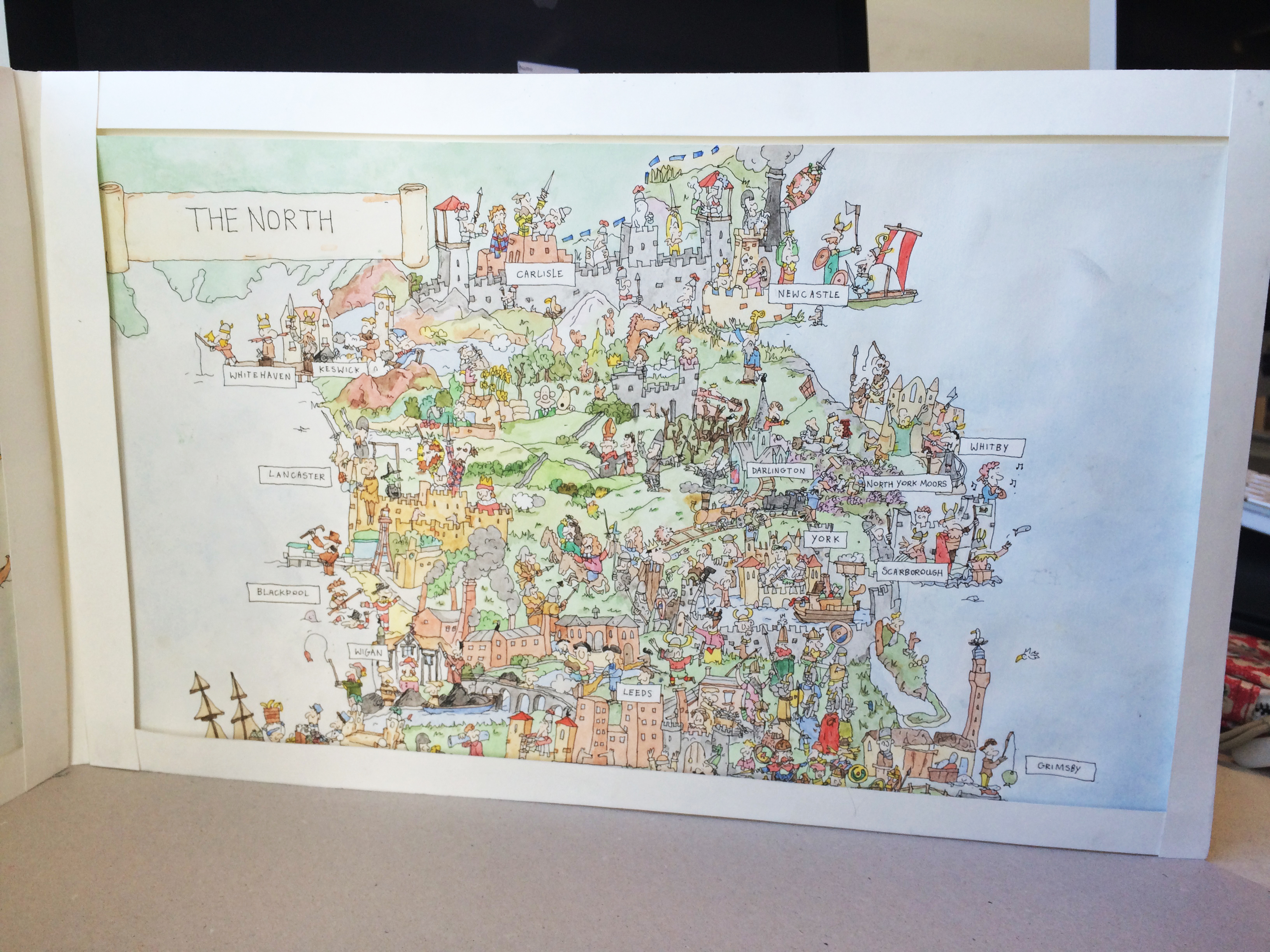
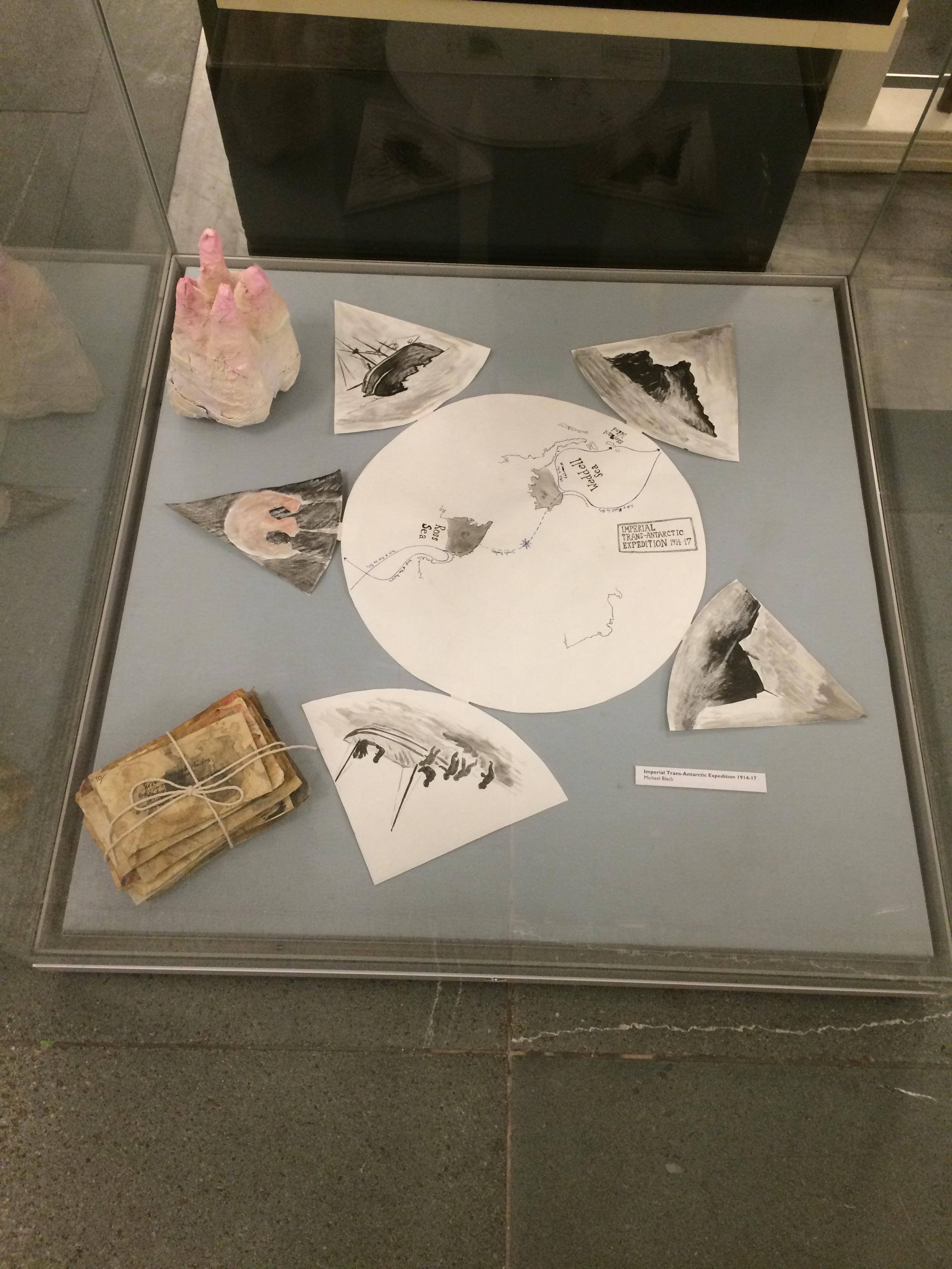
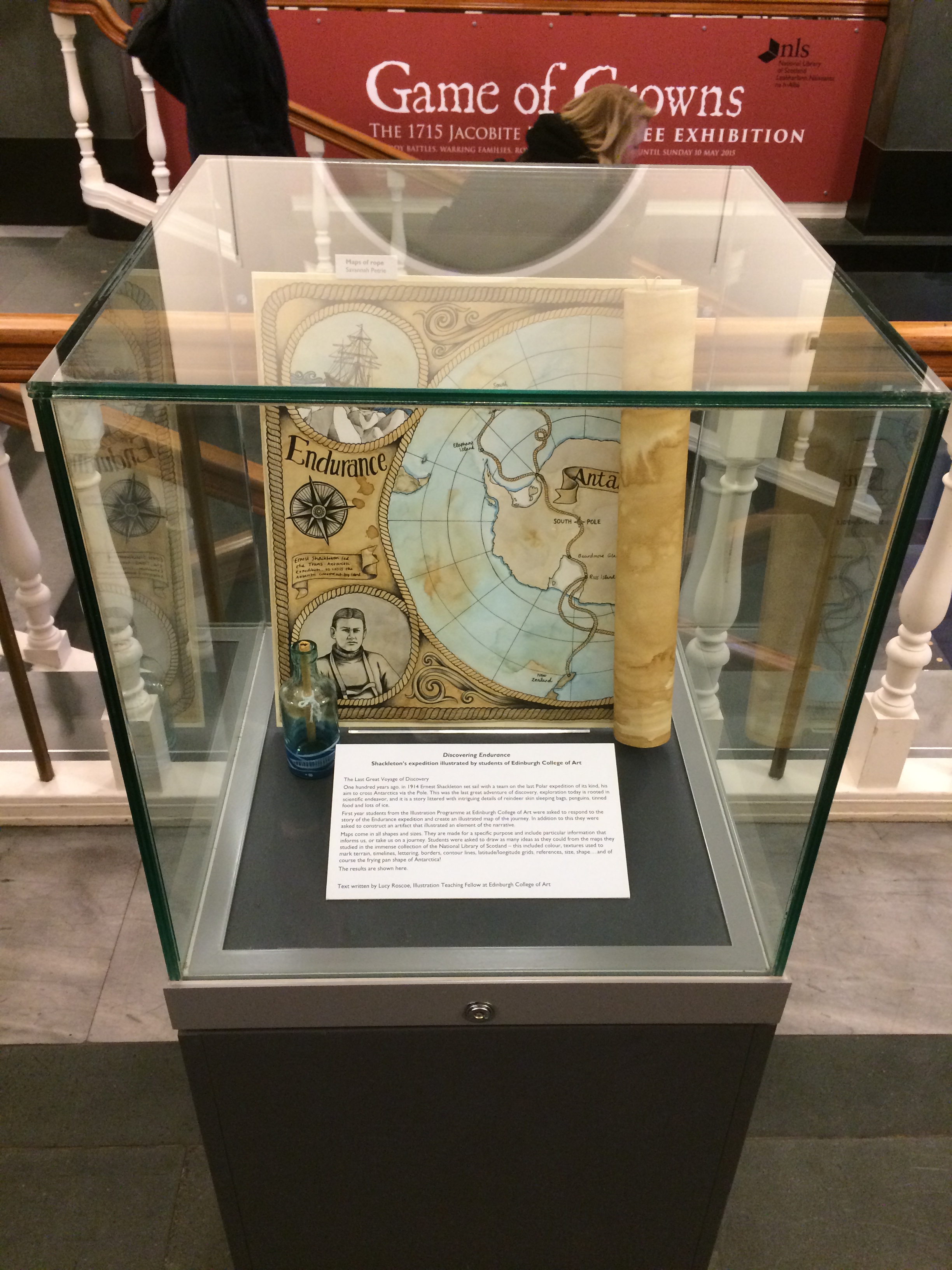
Tag: maps

Where are we?

Mapping the World

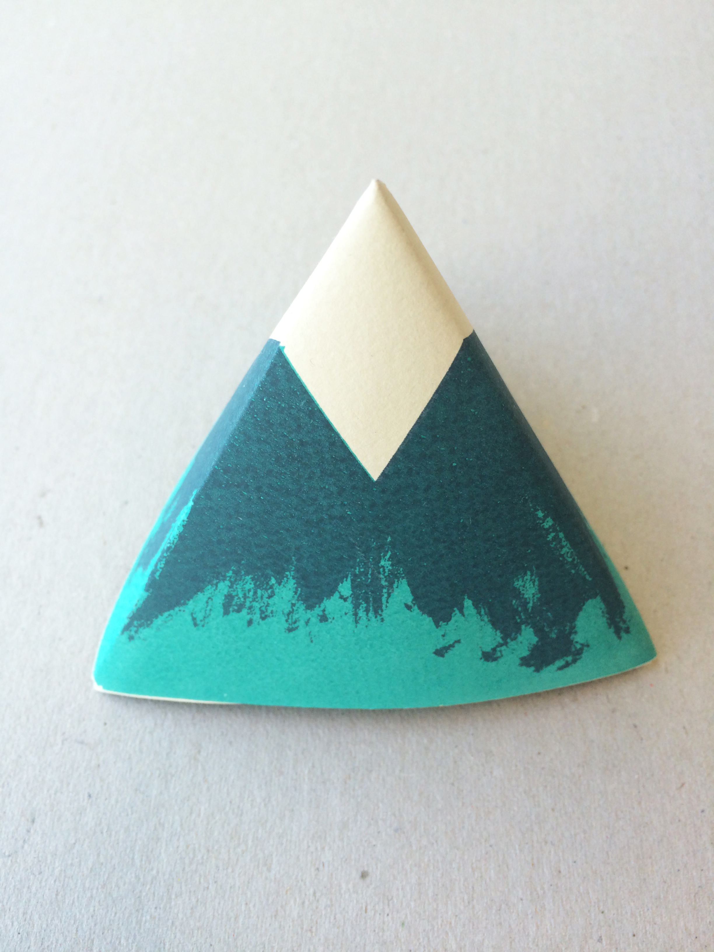
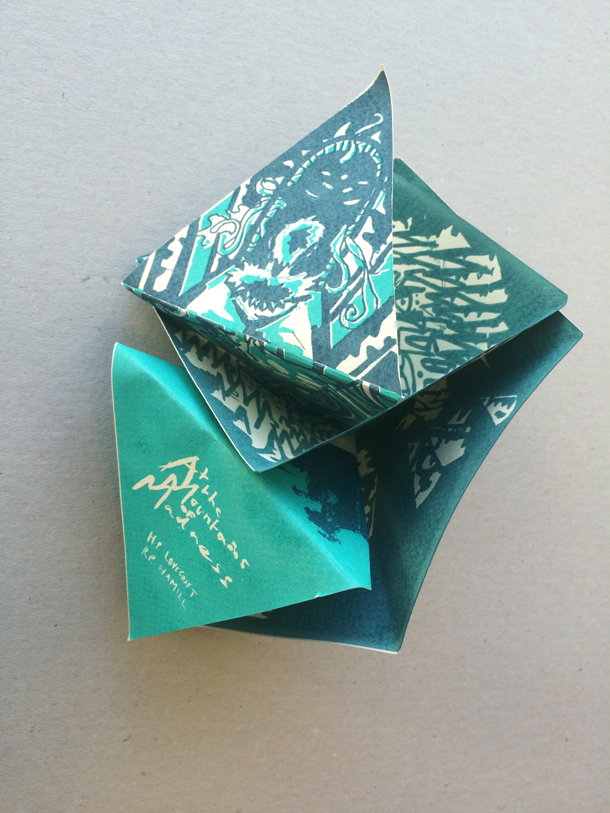
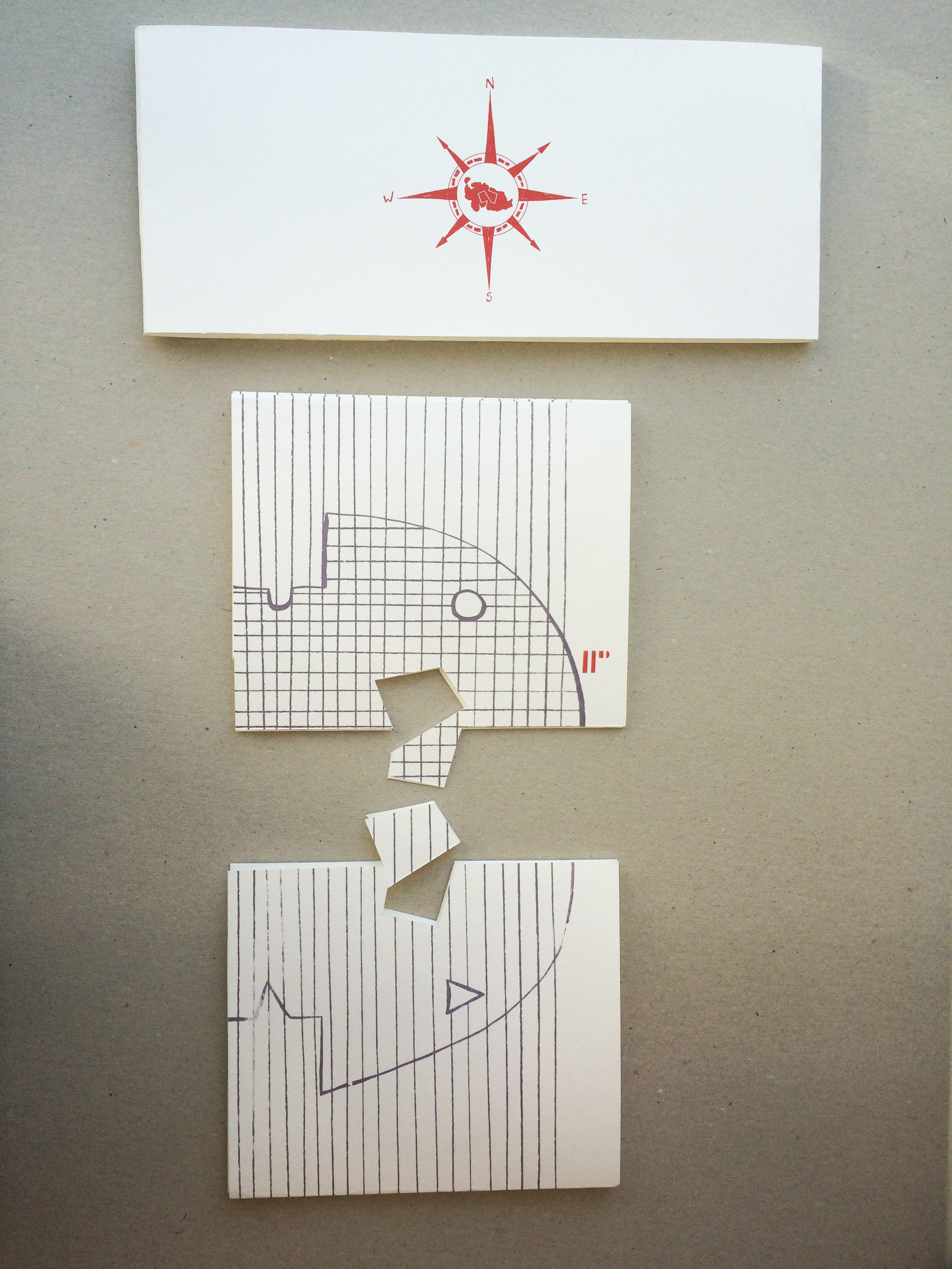
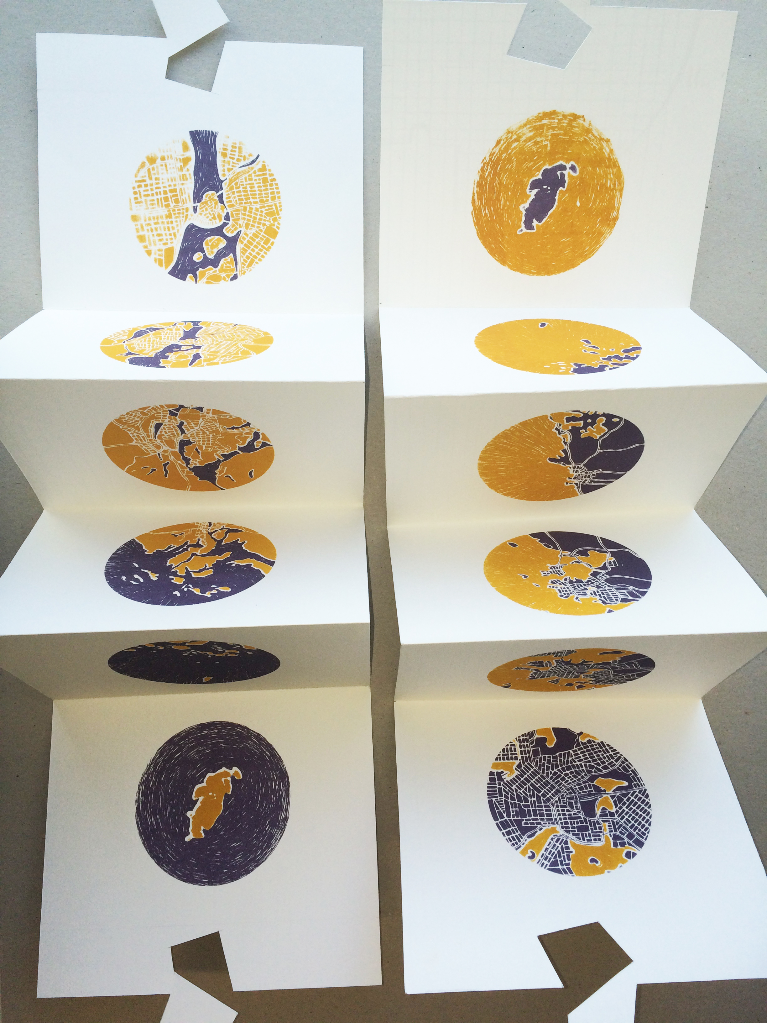
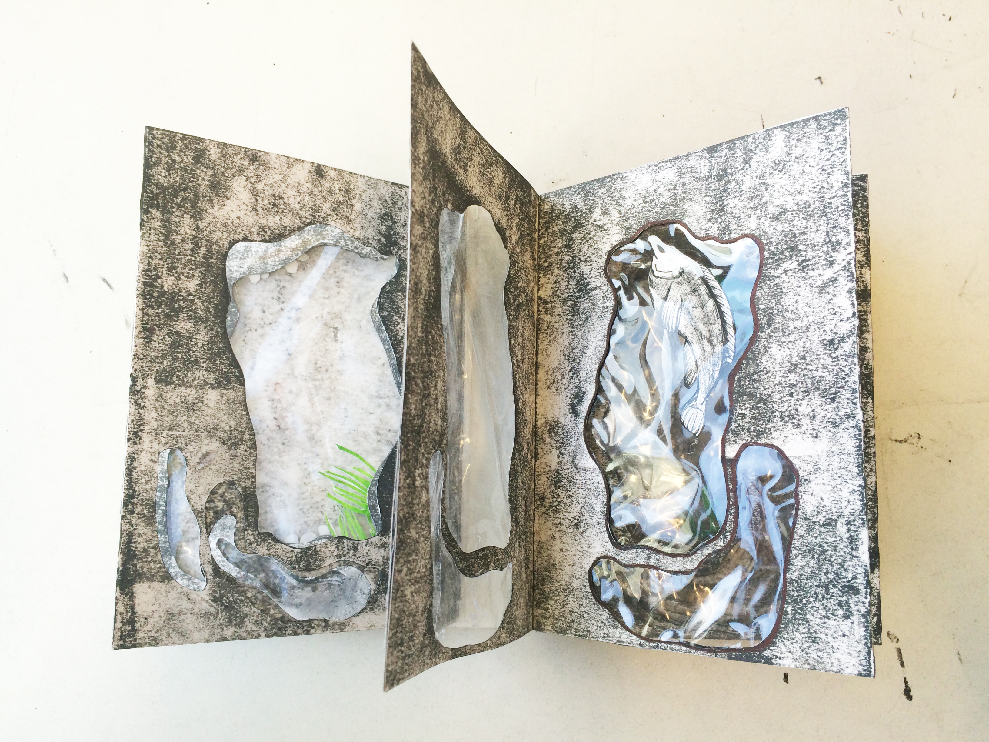
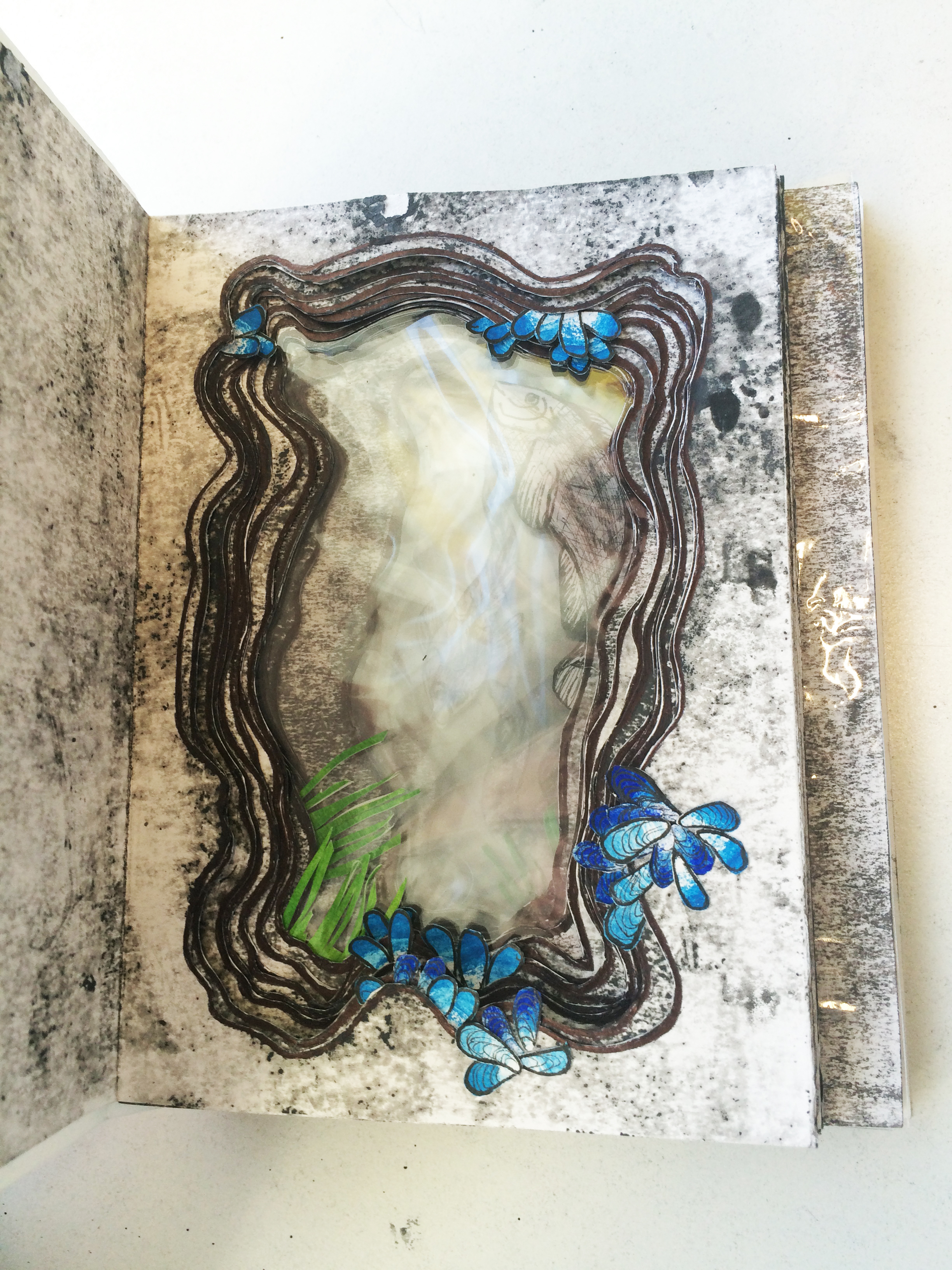
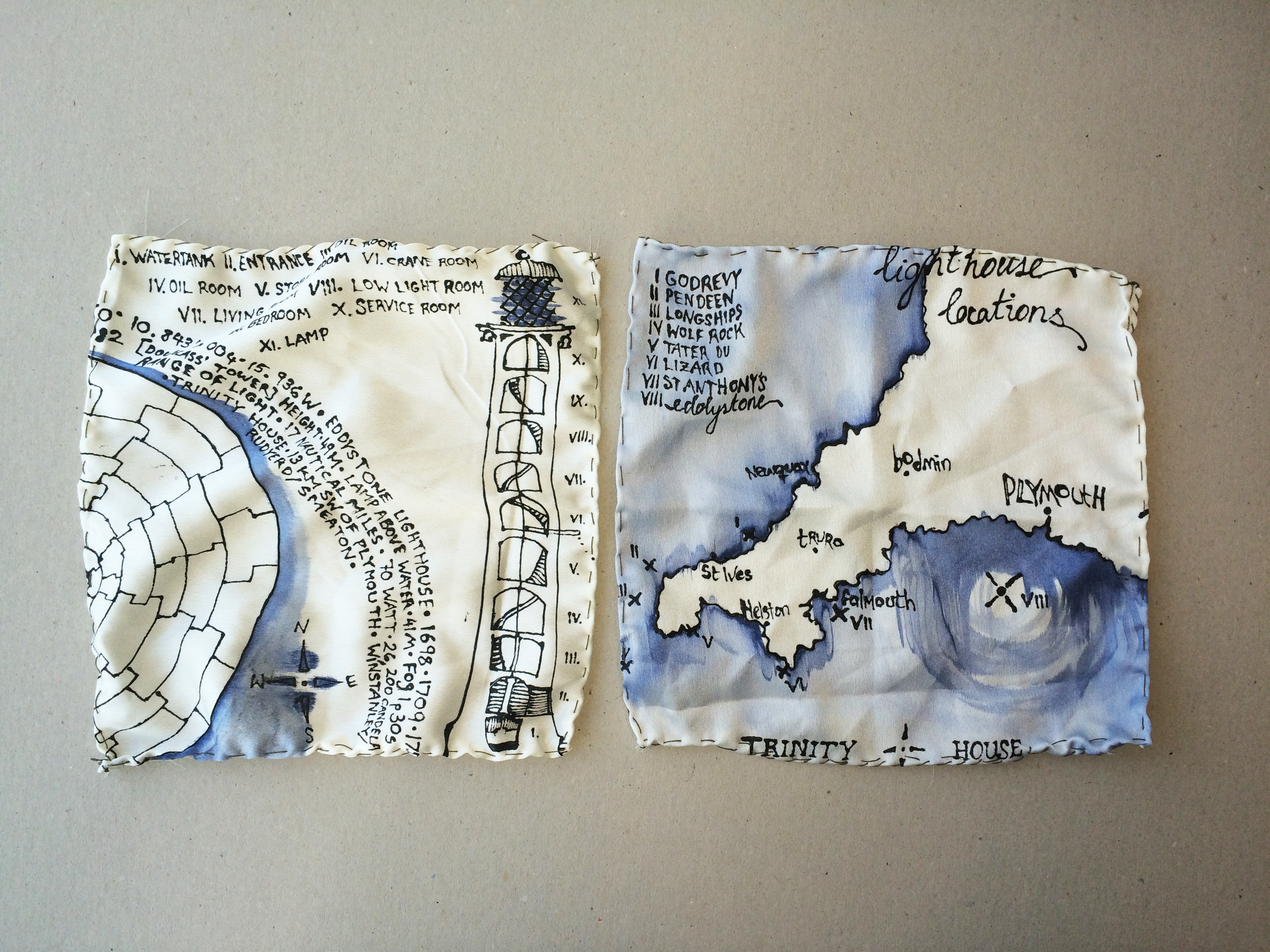
This collaborative project is inspired by and closely linked to the current exhibition ‘You are Here. A journey through maps’. The students from first year Illustration and Graphic Design worked in small groups and were asked to challenge what they know about maps, how they are made and how we understand them. They were encouraged to consider maps as a basis for storytelling beyond the attempt to represent factual information and investigate how maps may, for example, communicate emotional involvement in a place.

Each collective was given a series of tasks; this involved mapping a randomly allocated bus journey throughout Edinburgh, mapping their own personal journey from home to Edinburgh as a place to study, mapping a designated room at the National Museum of Scotland and lastly documenting the creative process of other students.

Throughout the 5 week project students were asked to attend a series of workshops and lectures led by Printmaker Jonathan Gibbs, Author Vivian French and Artist/Illustrator David Lemm to further enrich their skill set.

The group collaboration has been beneficial to our students who have been able to learn from their peers and experience their creative process. Skills were shared and tasks delegated amongst the group; for Illustrators and Graphic Designers this provides an invaluable learning experience building a solid foundation for their professional careers.

A selection of the work displayed at the National Library of Scotland until the end of May. 

1526347


Mapping the City

First year illustration students are really getting to know Edinburgh now, and this week they completed a unique map-making project. They were set the task of creating a map that would communicate their relationship with the city. The maps did not have to be geographically accurate and could depict any area or aspect of Edinburgh as they have experienced or perceived it.

We began by visiting the Central Library on George IV Bridge and were treated to a look at some of the maps in the library collection. We then explored the various passageways and rooms around the library and sketched the views of the city from these vantage points. We also visited the ECA Library to look at the fantastic collection of artists’s books. These gave students inspiration for the physical format their map might take.

The students then developed their research drawings into maps of their own. The class produced a varied body of work, including intricate hand drawn ‘memory’ maps, digitally made board games based on their adventures around the city and fabric collages incorporating hand-stitched routes and motifs.

12188850_10100603550512102_173393620_n 12188572_10100603550497132_928042851_n 12179288_10100603550576972_885996836_n 12179047_10100603550601922_1561626553_n

Mapbooks

‘In order to be able to function in the world humans have found it essential to map their surroundings in order to impart information to others and to understand the world for themselves. However, it has not always only for practical reasons that maps have been made. People, from childhood, have a natural urge to make them and maps are fascinating to look at. They draw the viewer in and anyone who makes a map demonstrates their thought process through the way it is laid out and designed and their preferences in what they choose to map.’
In this project our second year students were asked to produce a piece of work in book form – this could be taken in as broad a sense as they wished. The book had to contain maps and or diagrams that explained a place. This place could be somewhere they knew intimately, somewhere they were keen to explore or learn about through mapping it, or an imaginary place. Whichever they chose, students had to make a book that gave as much information to the viewer as possible using mainly images.

The images could be made using any medium, students chose to draw, paint, print or use digital techniques to produce there final books. The second years pushed boundaries in both there thought processes and practical techniques, resulting in a unique range of beautiful and provoking books. See below for a selection of our students completed ‘map books’.

2015-02-24 09.35.302015-02-24 09.36.29

Ryan Hamill

2015-02-24 09.27.232015-02-24 09.27.53

Rachel Donaldson

2015-02-24 09.43.222015-02-24 09.43.54

Ann MacLeod

2015-02-24 09.42.052015-02-24 09.40.55

William Hughes

2015-02-24 09.33.272015-02-24 09.34.00

Arran Stamper

Many thanks to the University Special Collections for inviting us to view a selection of rare books that have inspired many of our students to develop there book binding skills.

The Last Great Voyage of Discovery  

One hundred years ago, in 1914 Ernest Shackleton set sail with a team on the last Polar expedition of its kind, his aim to cross Antarctica via the Pole. This was the last great adventure of discovery, exploration today is rooted in scientific endeavor, and it is a story littered with intriguing details of reindeer skin sleeping bags, penguins, tinned food and lots of ice.

First year students from the Illustration Programme at Edinburgh College of Art were asked to respond to the story of the Endurance expedition and create an illustrated map of the journey. In addition to this they were asked to construct an artifact that illustrated an element of the narrative.

Maps come in all shapes and sizes. They are made for a specific purpose and include particular information that informs us, or take us on a journey. Students were asked to draw as many ideas as they could from the maps they studied in the immense collection of the National Library of Scotland – this included colour, textures used to mark terrain, timelines, lettering, borders, contour lines, latitude/longitude grids, references, size, shape….and of course the frying pan shape of Antarctica!

The results are currently exhibited in the National Library of Scotland, giving students the opportunity to share there illustrated discoveries with the public. A huge thank you to the National Library of Scotland for collaborating with us on this adventurous, challenging and greatly rewarding project.

Photo 17-02-2015 16 05 40 Photo 17-02-2015 16 05 58 Photo 17-02-2015 16 06 16 Photo 17-02-2015 16 06 42 (1) Photo 17-02-2015 16 07 15