First year illustration students are really getting to know Edinburgh now, and this week they completed a unique map-making project. They were set the task of creating a map that would communicate their relationship with the city. The maps did not have to be geographically accurate and could depict any area or aspect of Edinburgh as they have experienced or perceived it.
We began by visiting the Central Library on George IV Bridge and were treated to a look at some of the maps in the library collection. We then explored the various passageways and rooms around the library and sketched the views of the city from these vantage points. We also visited the ECA Library to look at the fantastic collection of artists’s books. These gave students inspiration for the physical format their map might take.
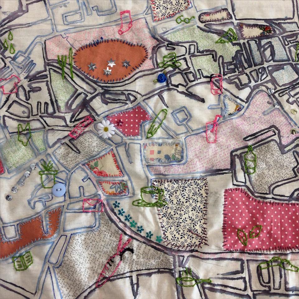
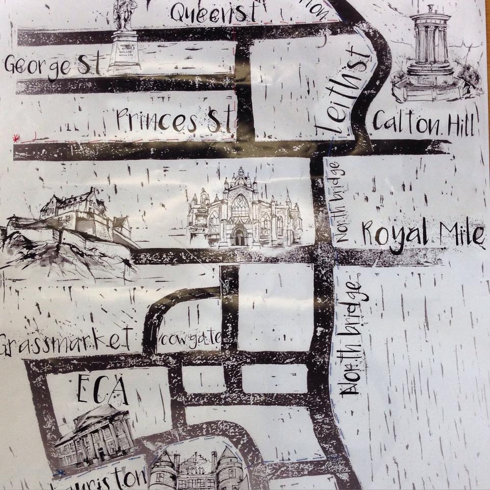
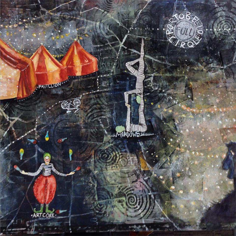
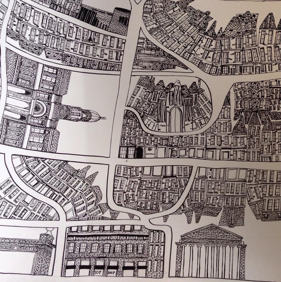
The students then developed their research drawings into maps of their own. The class produced a varied body of work, including intricate hand drawn ‘memory’ maps, digitally made board games based on their adventures around the city and fabric collages incorporating hand-stitched routes and motifs.