Along with the baseline monitoring of local water sources, we have been monitoring changes on the ground surface and subsurface since September 2023. It took some digging, carrying, backfilling and climbing, but we succeeded in deploying different terrestrial and satellite technologies at local scale, including tilt meters, GNSS (Global Navigation Satellite System) receivers, soil moisture probes as well as a local seismic monitoring network and INSAR (Interferometric Synthetic Aperture Radar) data to capture more regional ground deformations.
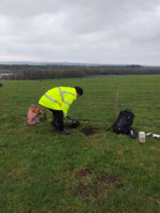
Digging to instal sensors
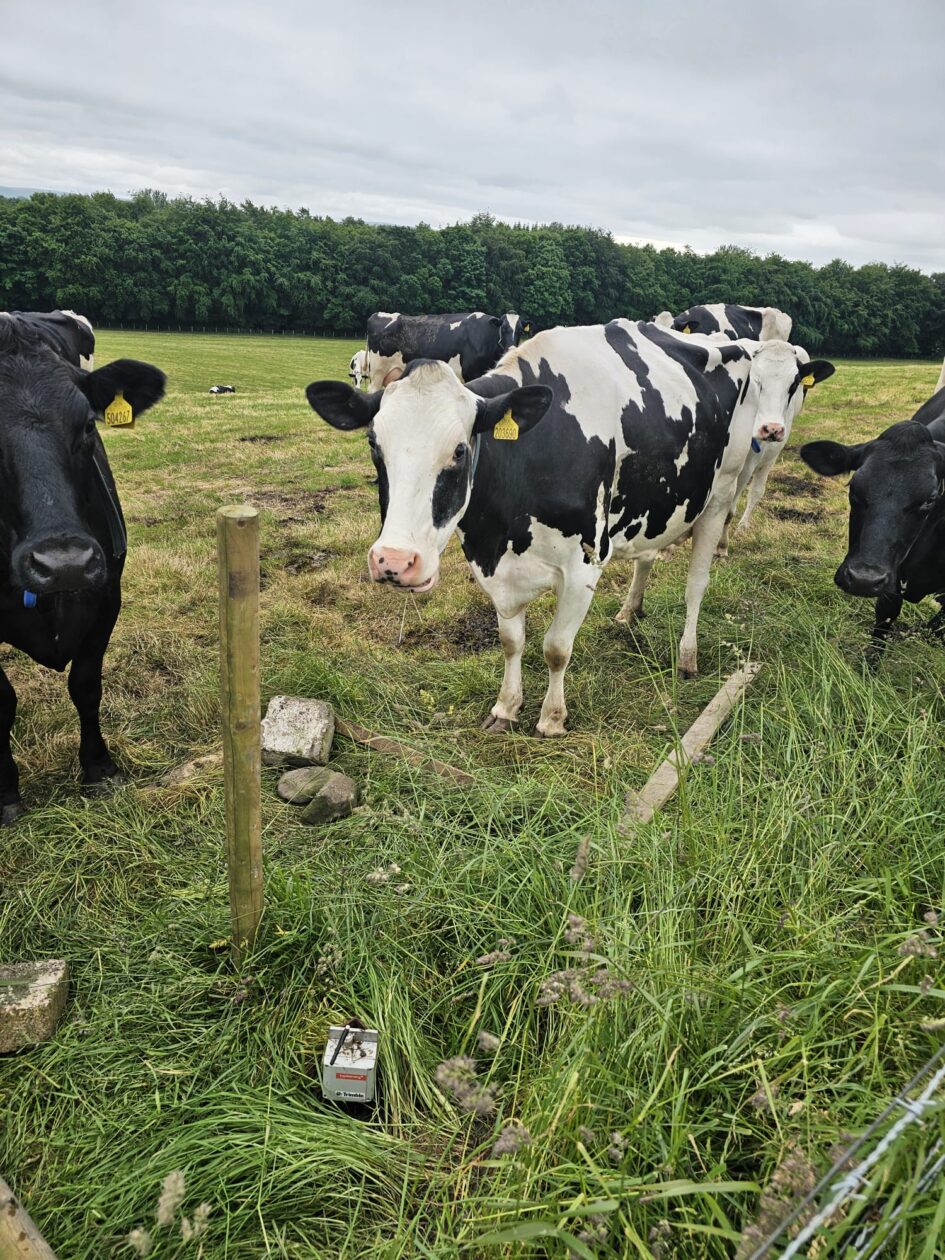
Although the technologies allow for real-time data streaming directly to the warmth of the office, we regularly visit the site (at least once a month) to check instrumentation, experience the great Scottish weather and check that the permanent users of the grounds (as per photo) who have shown a keen (non-scientific) interest to our work, peacefully co-exist with the sensors.
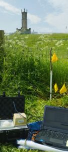
Working in the field
The collected data are used to validate numerical models predicting the geomechanical behaviour of the geobattery system.


Leave a Reply