Any views expressed within media held on this service are those of the contributors, should not be taken as approved or endorsed by the University, and do not necessarily reflect the views of the University in respect of any particular issue.
Digimap is an online map and data delivery service, available by subscription to UK Higher and Further Education establishments. Operated by EDINA at the University of Edinburgh, Digimap offers a number of data collections, including Ordnance Survey, historical, geological, aerial photography, LiDAR, marine maps, land cover mapping, global mapping and census data. For more information about Digimap go to our website: https://digimap.edina.ac.uk Background image Contains OS data (c) Crown Copyright and database right 2022
The session, “Data Standards and Q-FAIR — A view from Ordnance Survey,” will explore how Q-FAIR principles can help target data standards interventions, and why metadata and addressing standards are so important for discoverability and interoperability.
Allan Jamieson from Ordnance Survey will also introduce the National Geospatial Data Standards Register and discuss current and future efforts in data standardisation across the UK and internationally.
This webinar will be of interest to data scientists, researchers, GIS professionals, educators, and anyone working with geospatial or linked datasets. Whether you are combining data from different sources and time periods or simply want to learn more about standards and formats that support effective data use.
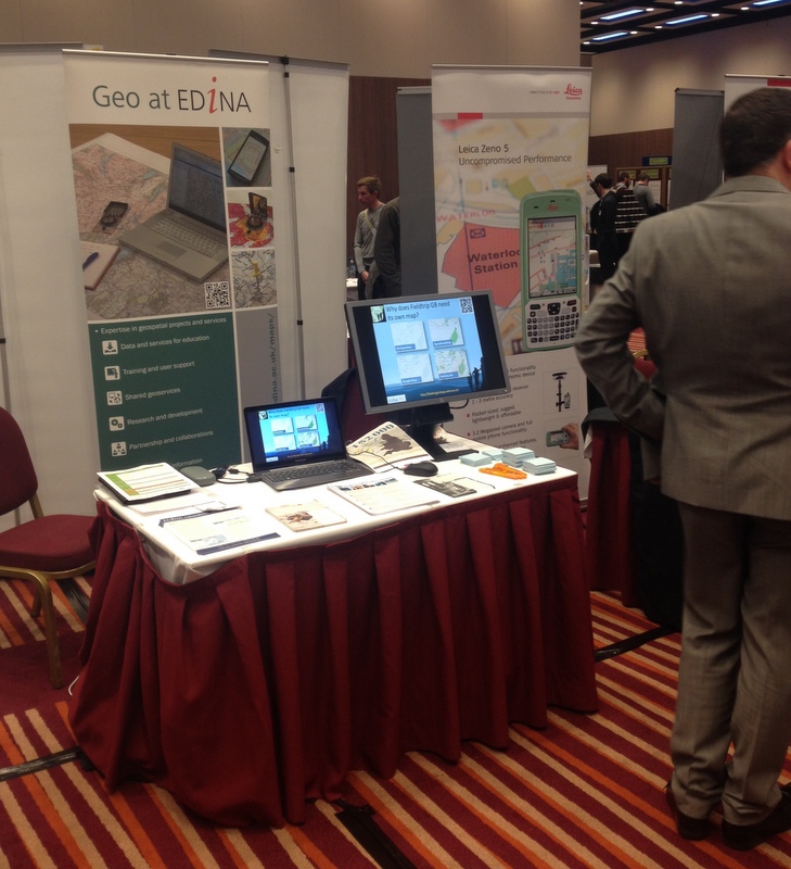
Last week EDINA Geodata Services were exhibiting at the GeoDATA Showcase 2014 event in London. This was our second time to exhibit at this event which is aimed primarily at the commercial end of the GI industry covering current data and technology topics. This follows on from other events in the series as described previously on the GoGeo Blog.
We had a small stand, but the positive responses we got from visitors was very encouraging: from students who are currently using Digimap in their studies, to the lecturer in a university who said that Digimap was a great resource and essential to his teaching. Even more encouraging was the number of delegates and staff on other stands, with successful careers in the GI industry, who came up and said that they had used Digimap during their studies and it was a vital to their degree. It’s good to know that the future generations in the GI industry have the expectation that they will have easy access to high quality geospatial data, readily available from Digimap (at least while they are in education!).
We talked to delegates from a wide range of industries including environmental consultancies, government, data providers, local councils, defence and education as well as visiting and talking to many of the other exhibitors. We got a lot of useful feedback on what we’re doing and ideas for what we could be doing in the future including potential opportunities for collaboration. Of particular interest to delegates was the Fieldtrip GB app we were demonstrating which is a mobile data collection platform – especially once the magic word ‘free’ was mentioned, and also that there is an Open version available on Github.
Mince pies and mulled wine near the end were a welcome break from a long day, so busy that we didn’t actually get a chance to attend any of the talks, many of which looked very interesting, however it was a very useful event to attend. We look forward to next year’s event on the 3rd December 2015.