
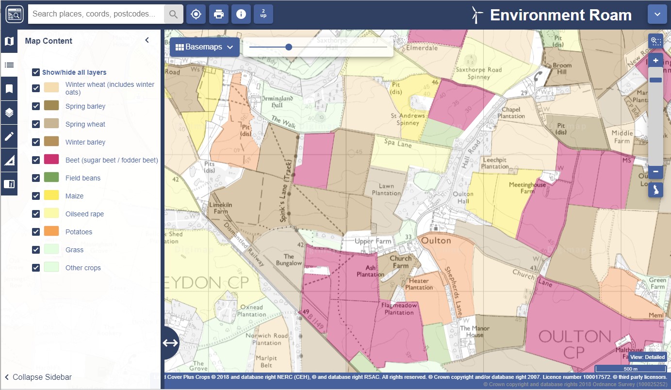
We are pleased to say that the 2018 update to the CEH Land Cover® Plus: Crops dataset is now available through Environment Digimap.
CEH Land Cover® Plus: Crops has been produced by the Centre for Ecology & Hydrology in partnership with Remote Sensing Applications Consultants and provides annually updated arable crop information for the whole of Great Britain. You can read more about it in our previous blog post.
You can find the 2018 data under the Basemaps in Environment Roam and under the Crop Data heading in Environment Download.
2018 data for CEH Land Cover Plus: Crops / by ecls is licensed under a Creative Commons Attribution CC BY 3.0