About the case study
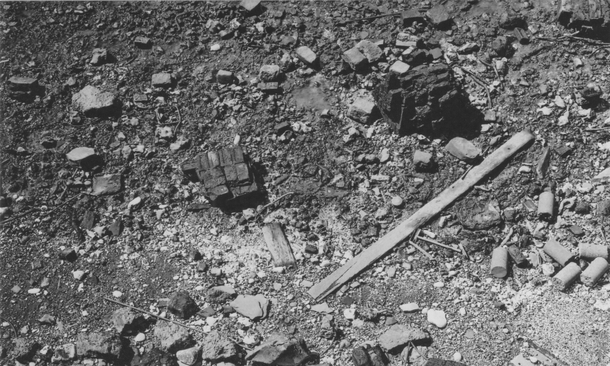
This case study area encompasses two sites: hackney marsh and Leyton marsh in East London. Previously low lying, seasonally flooded marshland in the flood plain of the River Lea (sometimes spelled Lee), both Marshes were raised with up to three metres of bomb rubble during and after the Second World War (including 2.2 million cubic metres on Hackney Marsh alone). The site is located just to the north of Queen Elizabeth Olympic Park. The rubble is a product of the Nazi Luftwaffe aerial bombing and V-weapon attacks on London from 1940 onwards and the subsequent clearance of many thousands of homes, factories and other buildings across the city and the East End in particular. The combined death toll in London was around 2,6000 with over 300,00 buildings destroyed or left irreparable.
Today both Marshes are lush green spaces, covered with plants and grass – Hackney Marsh in particular is now famous as a home for grassroots Sunday League football, while Leyton marsh is valued as a green sapce, though has recently been threatened by redevelopment projects.
The Research
My research here investigates how this vast quantity of rubble produced by industrialised warfare and the area bombing of London not only physically transformed the site, but also has changed how it is conceptualised, used and represented in a variety of ways. Valued most obviously as a habitat, leisure and sports ground and for its footballing heritage, the area could also be seen as a war memorial or even a counter-monument of sorts, a reminder, albeit subtle, of the fight against fascism and the enormous loss of civilian life and buildings London endured.
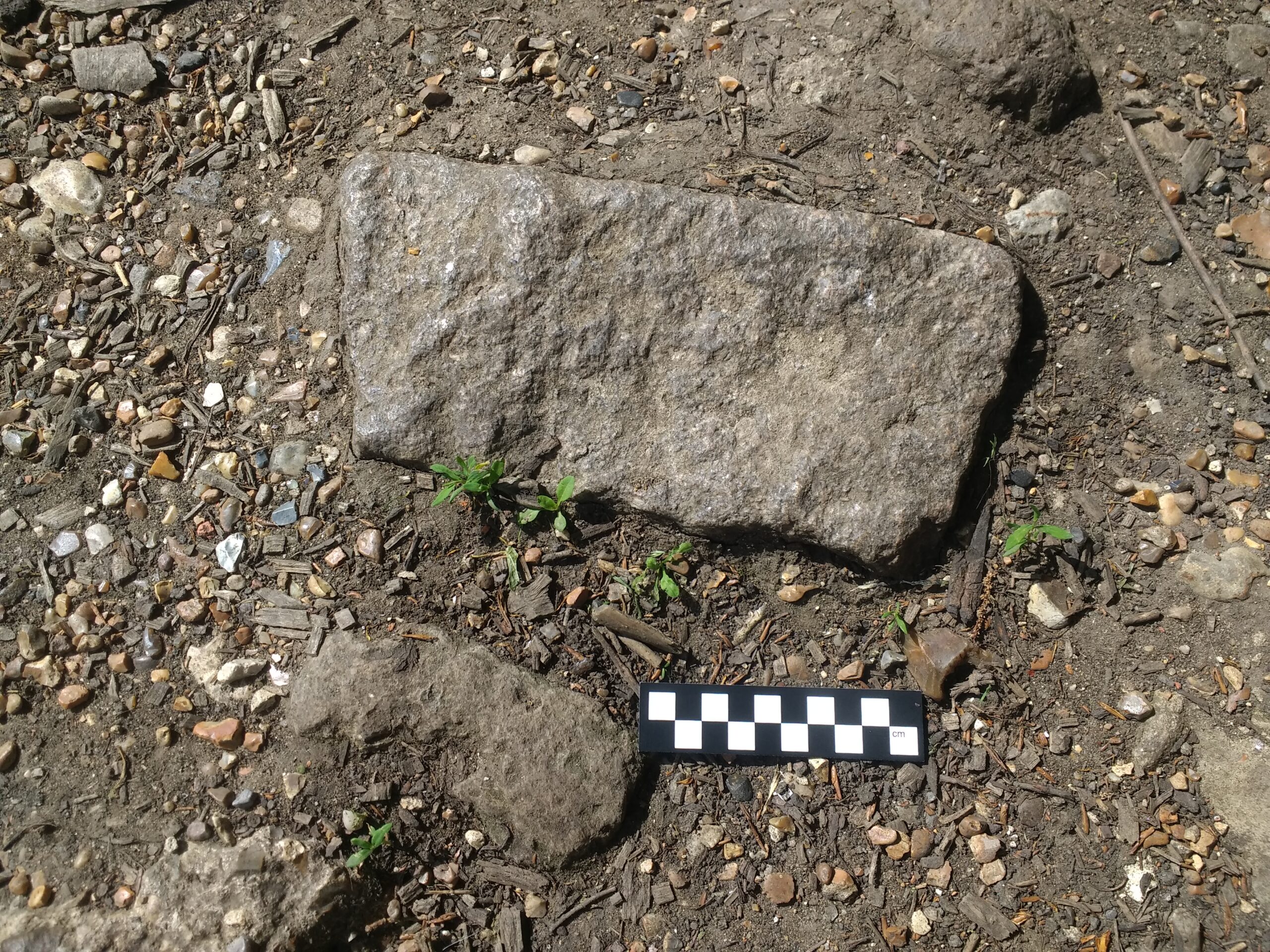
I have conducted onsite recording of the few area bomb rubble is still visible here along with changes in topography and compared this with historic mapping and aerial photographs to understand how both ‘Marshes’* were built up. I have also interviewed those working with and indeed, ‘reimagining’ the Marsh in different ways including artists and others.
I have also attempted to understand the movement of bomb rubble here in the wartime period, where some of the material might of come from, its composition and so forth, and how this was represented in the 1940s.
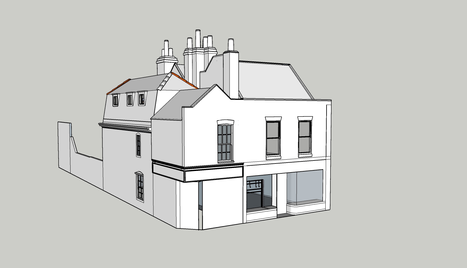
Finally a creative project Ghost Streets seeks to ‘rebuild’ a 3D model of just one of these bombed houses nearby the Marshes to visualise what one building, one set of lives, looks like in the face of such a now-hidden yet enormous and agglomerated deposit of rubble.

Findings
Research has been taking place on site since 2021, with interviews throughout 2022.
This has revealed that though the bomb rubble is quite hidden under imported topsoil and planting, it can be found in places around the river bank and is relatively diagnostic, though it is hard to know where each fragment would have come from.
I have also revealed in archival research how journalists and others viewed this dumping at the time. For example, David Low (best known as cartoonist) wrote of such bomb rubble dumps in a Listener article of February 1941:
Already the heaps sliding down the sides mount high. They will fill the pits, the grass will grow, and future generations will tread the level walks again, unthinking of, perhaps unknowing, the history below – churches, blocks of flats, hotels, hospitals, town halls, shops, historical shrines, monuments, cinemas, smart town houses, Georgian mansions, respectable suburban villas, and the poor slums that here find a common grave. What a theme for poets to come! Alas, poor Yorick!
Other key findings reveal how the sites today operate as both place of heritage (for football in particular) and as places of contestation in the face of developments at, or nearby Leyton Marsh in particular, as well as through increased flooding due to climate change.
Outputs
This case study features in a 2023 special issue of Journal of Contemporary Archaeology that I co-edited entitled: ‘Gaining ground: bomb rubble, reclamation and revenance‘.
Low, David. 1941. “No Mourning, by Request.” The Listener, February 13.
∗Given both sites are now far higher than the surrounding area and no longer subject to flooding (and quite dry) they are no longer technically wetlands, though the names persist.
